From Redmond, head west toward Sisters. Turn left on Cline Falls Rd. There are a couple of trailheads. One on the left a few miles after the left turn and another one a bit farther.
New trails have been built at Cline Butte, and more are proposed at Horse Ridge in Bend, OR. But will the "official" involvement in these trail systems threaten historic trails and e-bike access?


 1
1
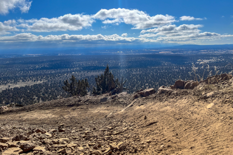
Fun trail with moderate challenges. Beautiful views of the river
| Thank