×

|
Rate it:
Tags:
Level:
Length: 6 mi (9.7 km)
Surface: Singletrack
Configuration: Loop
Elevation: +592/ -589 ft
Total: 7 riders
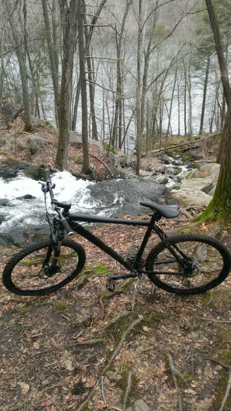
Mountain Biking Lower Paugussett State Forest
#87 of 113 mountain bike trails in Connecticut
Blue trail does a 6.5 mile loop of extremely technical trail. Other trails interconnect through here including a forest/logging road, as well as connections to the Iriquois Gas Line that the ATVer and MXers love to tear up.
First added by GreenGiant on May 22, 2007. Last updated Apr 28, 2020. → add an update
Before you go
- Drinking water: unknown
- Lift service: unknown
- Night riding: unknown
- Pump track: unknown
- Restrooms: unknown
- Fat bike grooming: unknown
- E-bikes allowed: unknown
- Fee required: unknown
This trail information is user-generated. Help improve this information by suggesting a correction.
Take the Merritt Parkway and get off at 49 for Route 25 north. Turn right on Route 111 (Monroe Turnpike) and travel to its intersection with Route 34 in Stevenson. 100 yards west of the intersection of Route 34 and Route 111, turn right onto Great Quarter Road; drive 1.3 miles to a turn-around with parking.