×

|
Rate it:
Tags:
Level: Beginner
Length: 5 mi (8 km)
Surface: Singletrack
Configuration: Loop
Elevation: +906/ -913 ft
Total: 4 riders
Mountain Biking Lost Bridge Trail
#108 of 215 mountain bike trails in Arkansas
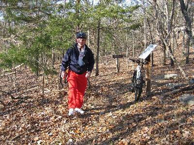
Lost Bridge Trail is located in the U.S. Corps of Engineers Lost Bridge North Recreation Area. The trail is all singletrack and the surface is mostly hard packed with sections of loose gravel. The terrain is mostly level with short hills and one steep climb at the 1 mile mark, if ridden counter-clockwise. This trail has some nice scenery including about 1.5 miles along Beaver Lake.
First added by surveyjim on Dec 19, 2006. Last updated Apr 28, 2020. → add an update
Before you go
- Drinking water: unknown
- Lift service: unknown
- Night riding: unknown
- Pump track: unknown
- Restrooms: unknown
- Fat bike grooming: unknown
- E-bikes allowed: unknown
- Fee required: unknown
This trail information is user-generated. Help improve this information by suggesting a correction.
From Rogers, drive North on U.S. Highway #62 about 12 miles to Garfield. Turn right on Arkansas State Highway #127 and drive East about 6 miles. Turn left on Marina Road and pay day use fee at guard shack. Continue down the hill to a small parking area on the right at the trailhead.

Rode part of this trail recently on vacation, and while it has potential, as of now it's not worth it. Go to Hobbs State Park instead. Trail had poor upkeep and was overgrown in wild raspberry in places.
| Thank