Official GPS track of the mountain bike park Palatinate Forest (September 2011)
The theme tours with forestry highlights. The route runs on the "top" of the Tour 1. The start is in Locust cross. We pass it the following information boards Forestry Department Johanniskreuz to cultural and forest history in the locust cruiser forest.
Crossroads locust Cross (0.0 km)
In locust cross at the entrance to the cafe Niklis is an old stone cross on the former property boundary of the Leininger and Wilensteiner dominions. The coat of arms on the cross locust were long rise to speculation. The most probable assumption that it points to the former owners of the castle Hohenecken.
Staghelm Forestry Office Building (0.2 miles)
Opposite, behind the house of sustainability is tucked Forestry Office building Johanniskreuz. The Cast Iron Staghelm on the south side of the building reveals its former purpose. Built in 1822 by the then Royal Bavarian forest administration, the forester's house was the first headquarters of the district forest ranger. From 1885 to 1923, served as the forestry office building after the police station locust Cross, which belonged to the Forestry Department Elmstein before, was elevated to the rank of forestry office by the large organizational change from 1885. In the building met 1843 "committee" of 14 bavarian. / Palatinate forest people who laid down their forestry-a characteristic sketch of the woods on the colorful sandstone mountains of Pfalz, which were referred to herein as the "Palatinate Forest", and principal rules for it. These rules would today call silvicultural guidelines. They impress even now their modern, but they emphasize the importance of always natural forest management.
Eschkopf Tower (6.2 km)
The Eschkopf tower is 608.3 meters is the highest point in forestry office area. The standing on the summit of Esch head Eschkopf- or Ludwigsturm established in 1902 at the instigation of "cadastral offices" in Munich for land surveying. Through donations of beautification association Johanniskreuz the tower was equipped with a viewing platform. In the Napoleonic era was at Eschkopf a wooden tower, which served as an optical telegraph messages on the Paris-Mainz. The name Eschkopf points to the previous extraction of potash. Potash potash as was indispensable for soap making and the manufacture of glass.
Holzkohlenbrennöfen (17.0 km)
evidence of the recent past are the Köhlerhütte and the adjacent Holzkohlebrennöfen. These furnaces were used, as well as the charcoal kilns, the production of charcoal. About controllable fireplaces incomplete combustion of the wood was ensured by controlled supply of oxygen. The kilns date from the time of the 2nd World War, when charcoal as a substitute fuel for vehicle engines (wood gasification) was used. In the so-called. Köhlerhütte lived the workers and encamped at the same time the charcoal.
Burgalbsprung (19.4 km)
The Burgalb arises as a rising source Burgalbweiher which is artificially impounded since 1875. At the outlet of the pond is half of a fountain trough from the Trippstadter castle garden. The fountain basin was launched at the end of the 19th century. In agreement of the official boards of Tripp city and locust Cross there. After half a mile the Burgalb unites the horse Brunner pond with the horse creek and from there forms the Schwarzenbach.
Valuable oak veneer (km 21.0)
Right and left of the path we see specimens of species for which the Palatinate Forest is justly famous. Surrounded by 180-year old beech stand up to 350-year-old sessile oak suitable due to dimension and quality for the production of the most valuable veneers. Even in recent centuries, the oaks were highly prized, but they provided valuable wood for house, shipbuilding and coopers and were significant as masts for the pigs engine. Shortly after we reach the camp ground on which the value of the oak forest office offered for auction.
Trail consist of 5.25 miles of double tracks, 5.25 miles of gravel, and 3.5 miles of single track.


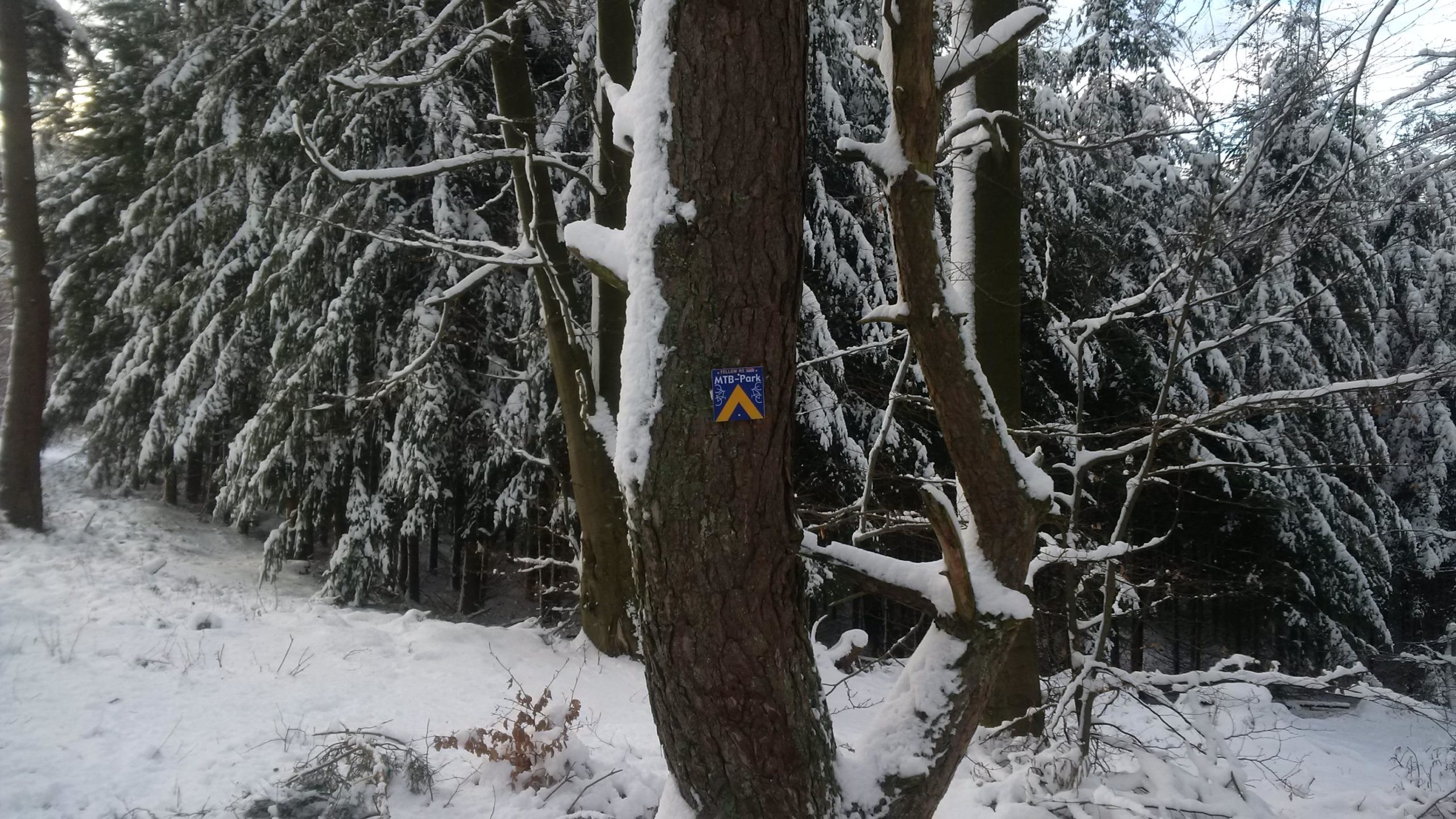

The snow was about 6" to 12" deep with an icy top. I could not tell what was under the snow so i keep hitting logs and rocks. The only reason i was able to ride this far was because a tractor had compacted the snow. I will come back to this trail in the early spring and give a better review.
| Thank