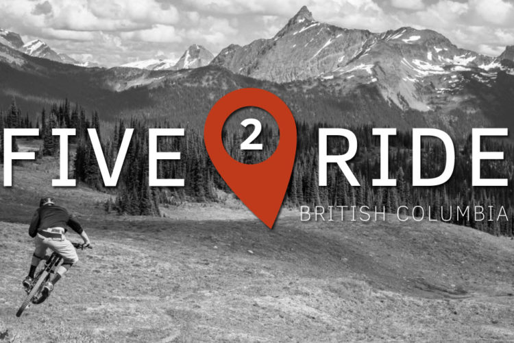
British Columbia offers far more than North Shore freeride, with massive terrain featuring world-class trails from technical downhills to alpine epics across Canada's stunning western province.
I love this trail. Beautiful alpine riding. The first couple miles are the most technical, gets easier after that.
Nothing like blasting down singletrack while looking DOWN on Hawks.
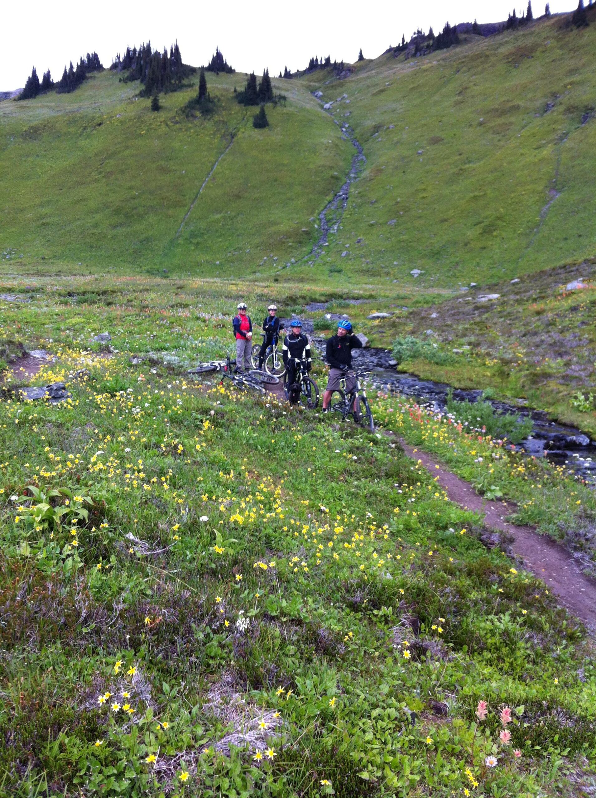


I love this trail. Beautiful alpine riding. The first couple miles are the most technical, gets easier after that.
| ThankNothing like blasting down singletrack while looking DOWN on Hawks.
Excellent trail. If this were in the states, there's no way the Hiking/Wilderness nazis would let bikes near something so nice.
| Thank