×

|
Rate it:
Tags:
Level: Beginner
Length: 10 mi (16.1 km)
Surface: Singletrack
Configuration: Network
Elevation: -
Total: 9 riders
Mountain Biking Genesee Recreation Area
#61 of 113 mountain bike trails in Connecticut
this is water company land and we ride it every weekend. almost never seee other people. no special skills or technical ability required. mix of access roads and trails. good mix of terrain, and hills so it is a good work out.
First added by searsandrewj on Sep 28, 2004. Last updated May 1, 2020. → add an update
Before you go
- Drinking water: unknown
- Lift service: unknown
- Night riding: unknown
- Pump track: unknown
- Restrooms: unknown
- Fat bike grooming: unknown
- E-bikes allowed: unknown
- Fee required: unknown
This trail information is user-generated. Help improve this information by suggesting a correction.
from route 80 go north on rte 79 2 or 3 miles. you must have a permit from the regional water authority call 203.562.4020.


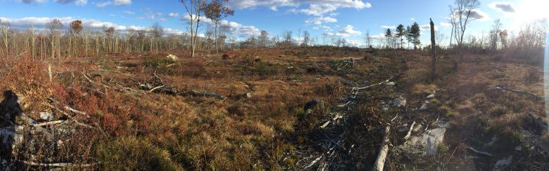

Not really mtb trails. Mostly meandering worn down jeep roads and double track that leads into no man's land of woods and scrub. Few signs if any, some unmarked side "trails" go for 50' or so before ending. However, you can ride for several miles here, get a workout in over the hilly terrain, and likely have the place to yourself.
| ThankEasy fire roads and like most RWA properties, empty. Map here: http://scrcog.org/wp-content/uploads/trails/RWA/RecTrails_RWA2_6-2-16.pdf
Avoid the yellow trail - as of August 2019 completely overgrown, blocked by multiple downed trees.
| Thank