×

|
Rate it:
Tags:
Level: Intermediate
Length: 5 mi (8 km)
Surface: Singletrack
Configuration: Out & Back
Elevation: -
Total: 5 riders
Mountain Biking Freeman Creek Trail
#494 of 1,015 mountain bike trails in California
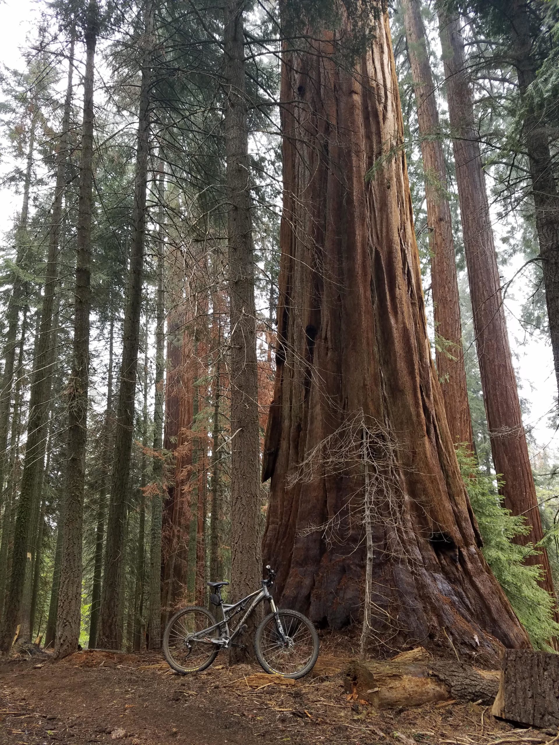
32E20 The Freeman Creek trail is 5.2 miles long. It begins at 33e20 and ends at 31e14. The trail is open for the following uses: Mountain Biking. This trail connects Quaking Aspen with Lloyd Mdw. and drops 1500 ft in elevation between the two locations. Traveling west to east the trail leaves from road 21S99 winding down and crossing Freeman Creek and paralleling it most of the time. Passes through the Freeman Creek Giant Sequoia grove and near the President George Bush tree. Fishing in Freeman Creek at Lloyd Mdw. is normally good. source: fs.usda.gov
First added by Jeff Barber on Dec 24, 2014. Last updated Apr 27, 2020. → add an update
Before you go
- Drinking water: unknown
- Lift service: unknown
- Night riding: unknown
- Pump track: unknown
- Restrooms: unknown
- Fat bike grooming: unknown
- E-bikes allowed: unknown
- Fee required: unknown
This trail information is user-generated. Help improve this information by suggesting a correction.
See map.


Great fun ride, a few technical sections. Similar to Downieville, but about half as long. Not as demanding as Cannell Plunge. Definitely call Margaret at Sequoia Mountain Adventures (no, I'm not getting anything for this plug).
| ThankSounds like Freeman could be an awesome little trail. Does anyone know any more about the trail? How it rides etc.
| Thank