×

|
Rate it:
Tags:
Level:
Length: 7 mi (11.3 km)
Surface: Singletrack
Configuration: Network
Elevation: -
Total: 3 riders
Mountain Biking Enchanted Hills
#222 of 410 mountain bike trails in Arizona
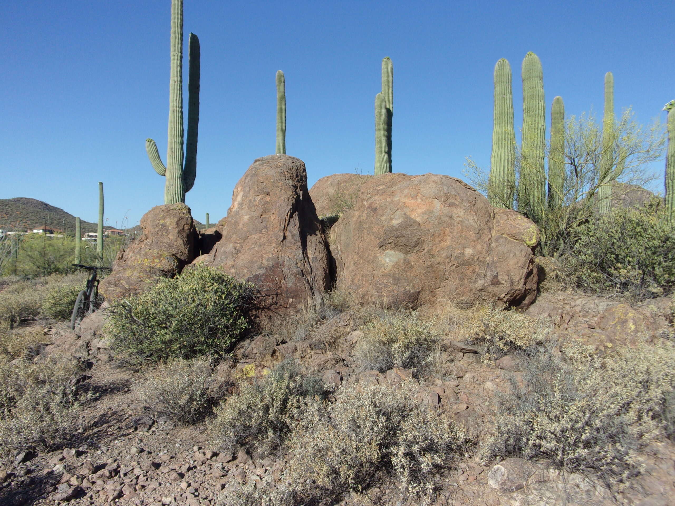
Closer to the road trails are mellower and the loop returns to parking. To northwest is a short designated down hill trail with 3' drops. Black diamond loop around a small peak. El Grupo are easy and intermediate trails. The highest parts of El Grupo are the most tech with 15 degree pitches and saguaros lining the trail. All trails have pitch but only a few are tough. Classic Sonoran desert with saguaros in an area that blooms well. Connects with several Tucson Mountains trails, north and south to Robles Pass. 100+ miles of singletrack in the Tucson Mountains. The map below shows an arroyo to the south, the main trail in Enchanted Hills is the El Grupo Loop north of 36th St.
First added by abegold on Aug 1, 2019. Last updated Jun 7, 2022. → add an update
Before you go
- Drinking water: no
- Lift service: no
- Night riding: no
- Pump track: no
- Restrooms: no
- Fat bike grooming: no
- E-bikes allowed: no
- Fee required: no
This trail information is user-generated. Help improve this information by suggesting a correction.
36th Street Trailhead at the Tucson Mountains. West of La Cholla Blvd. Ride west out of parking and quickly turn north. This road ends and has parking at the Tucson Mountains.


Loading reviews...View more