A mountain bike version of the classic Morgul-Bismarck loop. The ride is a mix of smooth gravel road-type riding and some mild singletrack; this is an easy ride from a technical standpoint, but it can be a great aerobic workout if you want it to be.
Starting from the Coalton trailhead, head out on Meadowlark Trail (it's the trail that goes north, not the one that goes west). This eventually runs into Mayhoffer-Singletree Trail, where you'll take a left. Follow this trail until it crosses a road and runs into Cowdrey Draw. At the end of Cowdrey Draw, continue on Community Ditch (to extend the right, you can take a right on Community Ditch and ride the Marshall Mesa trails until they meet back up with Community Ditch near Highway 93). Take Community Ditch all the way to Highway 93, then, being very vigilant about traffic, ride a few yards south on the highway until you get to the end of Greenbelt Plateau. Ride Greenbelt Plateau until it meets up with the High Plains Trail near Highway 128. Turn left on High Plains, and take it all the way back to the Coalton trailhead (High Plains turns into Coalton at the top of the hill).


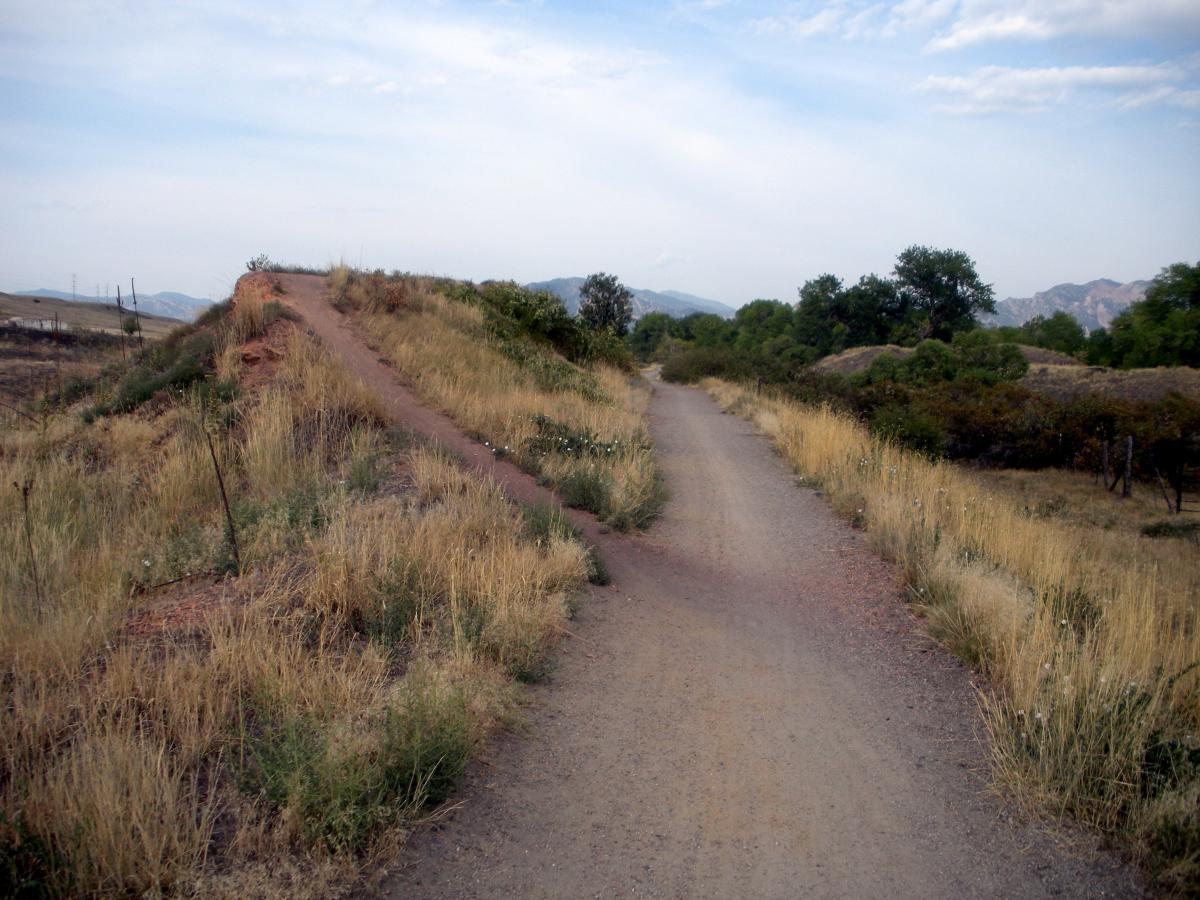

Mostly boring prairie ride.
| ThankFun. Was always on the rotation for local to south boulder lunch time rides.
| ThankThis is where I take beginner riders who want to give mountain biking a try. A great night ride as well.
Otherwise, it's not the most exciting ride, but great for a relaxing ride with a significant other.
| ThankThe trails were awesome, but its worth noting that you cannot due the full loop due to construction and changes in the route. Be prepared for an out and back at the second parking lot.
| ThankThis is a fun, quick ride that you can do on the way home from work. Most of it is really smooth, but there are a couple minor rocky sections. There's no tree cover, so get out and ride this one early (or late).
| Thank