×

|
Rate it:
Tags:
Level: Intermediate
Length: 6 mi (9.7 km)
Surface: Singletrack
Configuration: Out & Back
Elevation: +386/ -378 ft
Total: 6 riders
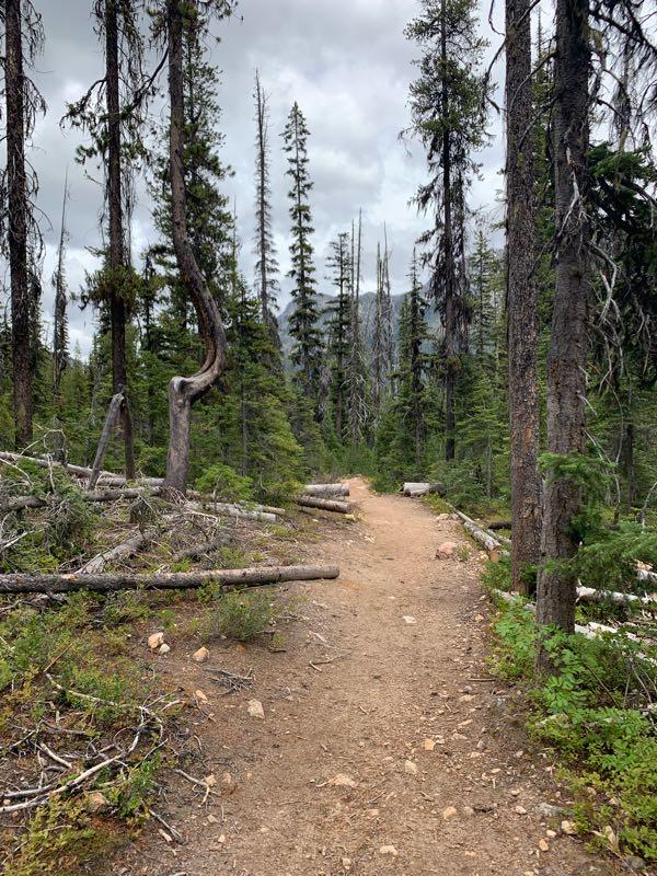
Mountain Biking Cutthroat Trail
#94 of 1,229 mountain bike trails in Washington
Open to mountain bikes up to junction with Pacific Crest Trail. No bikes allowed on Pacific Crest Trail. source: fs.usda.gov
First added by Jeff Barber on Nov 9, 2014. Last updated Apr 27, 2020. → add an update
Before you go
- Drinking water: unknown
- Lift service: unknown
- Night riding: unknown
- Pump track: unknown
- Restrooms: unknown
- Fat bike grooming: unknown
- E-bikes allowed: unknown
- Fee required: unknown
This trail information is user-generated. Help improve this information by suggesting a correction.
From Winthrop drive State Route 20 west about 26 miles (or 1.5 miles west of Lone Fir Campground). Turn right on Forest Service Road 400 and follow for 1 mile to the trailhead.

This is my wife's and my favorite trail. we ride this trail 3-4 times each summer
| ThankArguably the most scenic short mtb trail in the state. Rocky in places on the way up, with a few tighter switchbacks.
| ThankThis is a great trail with some beautiful views, some of the switchbacks are super tight for a mountain bike.
| Thank