Pipestone Canyon trail photo
See all photos (2)
×
User
Today
 
  |   Rate it:

Tags:
Level:
Length: 14 mi (22.5 km)
Surface: Doubletrack
Configuration: Loop
Elevation: -
Total: 7 riders
 

Mountain Biking Pipestone Canyon

  Add a review
#177 of 1,209 mountain bike trails in Washington
#14,232 in the world

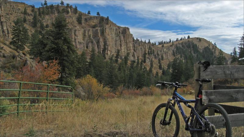
THIS DESCRIPTION AND THE PHOTOS I ATTACHED ARE NOT MINE, THE DIRECTIONS AND DESCRIPTION ARE FROM http://www.methowdata.com/mtnsports/pipestone.cfm
THE PHOTOS ARE FROM
http://www.flickr.com/photos/markmcgee/1571163937/
Singletrack Option: Near the end of the valley watch to the left for a trail which heads up the hillside. It may be marked with a cairn. The trail curves around and heads back towards the rim of the canyon. It may be difficult to follow in places, but it basically stays near the rim of the canyon and the high ground above. Eventually the trail drops back down to a well defined trail leading back past Campbell Lake and back to Lester Road. Once back on Lester Road, head back toward the start, but watch to the right for another single track, possibly marked with a cairn that starts within a few hundred yards. Follow this trail to Cougar Lake Road. Head downhill on Cougar Lake Road which will connect with Lester Road. Head downhill on Lester Road and follow it back to the start.

Dirt Road Option: Continue down the jeep track and bear left as it merges with one from the intersecting valley. Continue on this track out to Balky Hill Road. Turn left on Balky Hill Road and follow it until it tees out at Beaver Creek Road. Turn left onto Beaver Creek Road and follow it to its intersection with Lester Road immediately across from the Beaver Creek Campground. Turn left on Lester Road and follow it back to the start.

First added by wanderingpops on Oct 12, 2008. Last updated Apr 28, 2020. → add an update
Before you go
  • Drinking water: unknown
  • Lift service: unknown
  • Night riding: unknown
  • Pump track: unknown
  • Restrooms: unknown
  • Fat bike grooming: unknown
  • E-bikes allowed: unknown
  • Fee required: unknown
This trail information is user-generated. Help improve this information by suggesting a correction.
Getting there
From the center of Winthrop head south on Highway 20. Do not cross the Methow River. Continue straight 1/4 mile to the first cross street. Turn left. Go one block and turn right onto the Winthrop-Twisp East County Road. At two miles, turn left onto Upper Bear Creek Road. Follow this road to the end of the pavement, and park at the pullout there. Lester Road intersects Upper Bear Creek Road at this point.


Pipestone Canyon Trail map

Add to or improve this map // Share this map on your website

Local Info

Club Sponsor

-

Local Bike Shop

-

Trail checkins

dmkimm (on Oct 4, 2015)
What's this?

Upcoming Events

None.
Add one

Trail conditions

(on Feb 14, 2013)
login to update

Camping & Lodging

Coming soon!

Pipestone Canyon videos

Add a video
We don't have any videos of this trail yet. Add one here.

Mountain Bike Trails Near Winthrop, Washington

| 4.2 mi
*****
Intermediate | 7 mi
| 1.2 mi
| 0.6 mi

Add a review

Rating
 
Difficulty
 
Review

Reviews

    Loading reviews...

Rider questions