×

|
Rate it:
Tags:
Level: Intermediate
Length: 3 mi (4.8 km)
Surface: Singletrack
Configuration: Out & Back
Elevation: +74/ -10 ft
Total: 20 riders
Mountain Biking Big Lonely
#202 of 713 mountain bike trails in Utah
Intermediate ride over a sandstone ridge, then cross-country travel on dirt with intermittent sandstone outcrops. Average 3% grade. Several short stretches exceed 15% and one 30 ft long slickrock has a 45 degree climb. Highest point is 5600 ft and lowest is about 5350 ft.
First added by Greg Heil on Dec 16, 2014. Last updated May 1, 2020. → add an update
Before you go
- Drinking water: unknown
- Lift service: unknown
- Night riding: unknown
- Pump track: unknown
- Restrooms: unknown
- Fat bike grooming: unknown
- E-bikes allowed: unknown
- Fee required: unknown
This trail information is user-generated. Help improve this information by suggesting a correction.
From the parking lot, ride up the nearby Dubinky Well Road. The trail starts on the left near the campground.


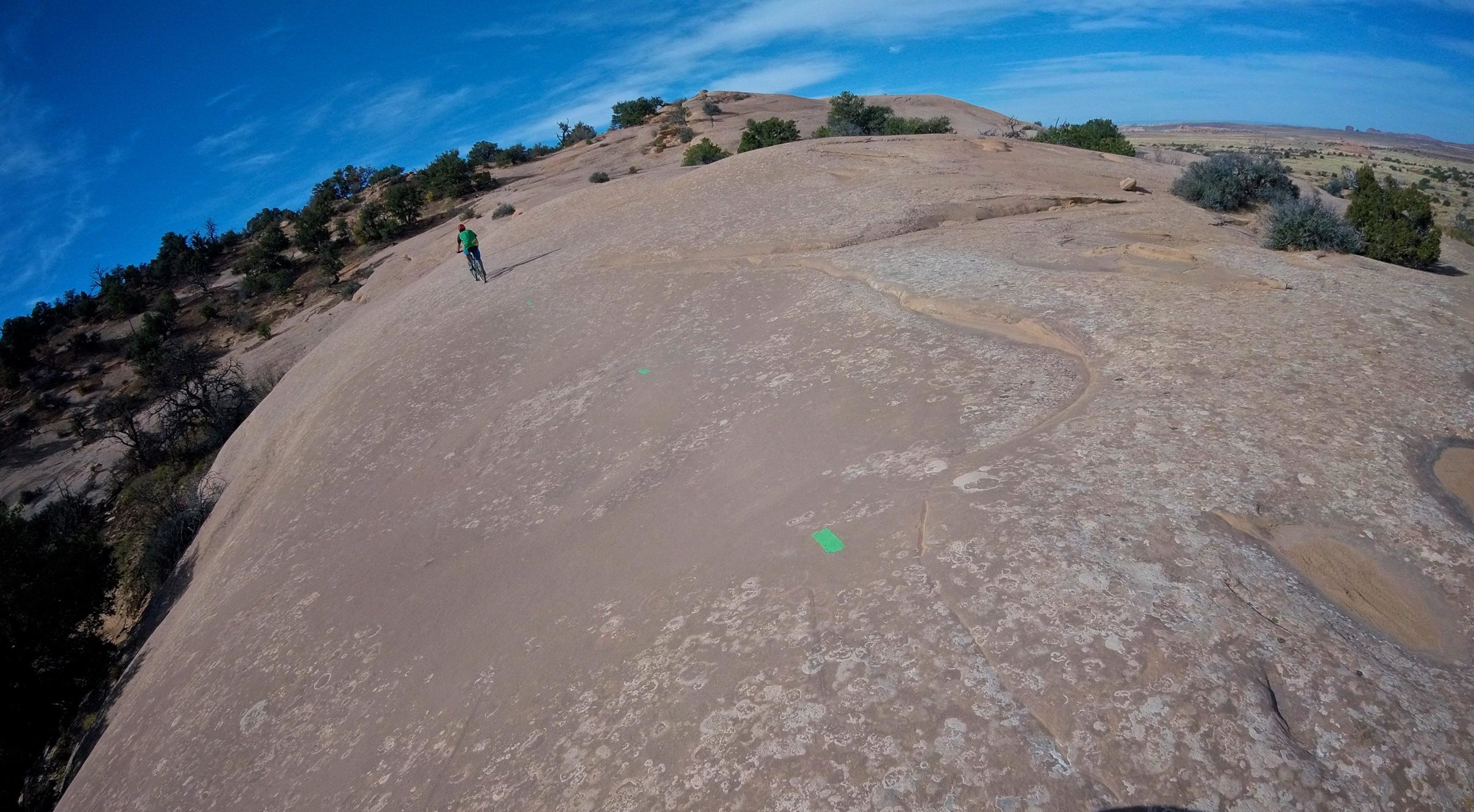

This trail could be ridden as out and back or as a part of Navajo Rocks. Fun slickrock riding, nothing terribly difficult.
| ThankRode just this stretch of trail as a quick out and back before heading home. Good for that, pretty mellow, some fun slickrock riding with a bit of desert singletrack thrown in. Nothing mindblowing, but fun nonetheless.
| Thank