×

|
Rate it:
Tags:
Level: Beginner
Length: 2 mi (3.2 km)
Surface: Singletrack
Configuration: Network
Elevation: -
Total: 8 riders
Mountain Biking Big Chico Creek Trail
#400 of 1,016 mountain bike trails in California
Flowy singletrack among the trees that travels along Big Chico Creek. There is one point where the trail returns to the pavement, but can be picked up again in about 25 ft.
First added by Jenny Corso on Apr 21, 2017. Last updated Apr 21, 2020. → add an update
Before you go
- Drinking water: unknown
- Lift service: unknown
- Night riding: unknown
- Pump track: unknown
- Restrooms: yes
- Fat bike grooming: unknown
- E-bikes allowed: unknown
- Fee required: unknown
This trail information is user-generated. Help improve this information by suggesting a correction.
The trail starts and finishes on the eastbound one-way road (Petersen Memorial Way) within Lower Bidwell Park. It follows Big Chico Creek for approximately 1.6 miles. It is best ridden NE to SW. The starting point is just south of the lower park road entrance off Vallombrosa Ave (coordinates 39.751504, -121.799764).


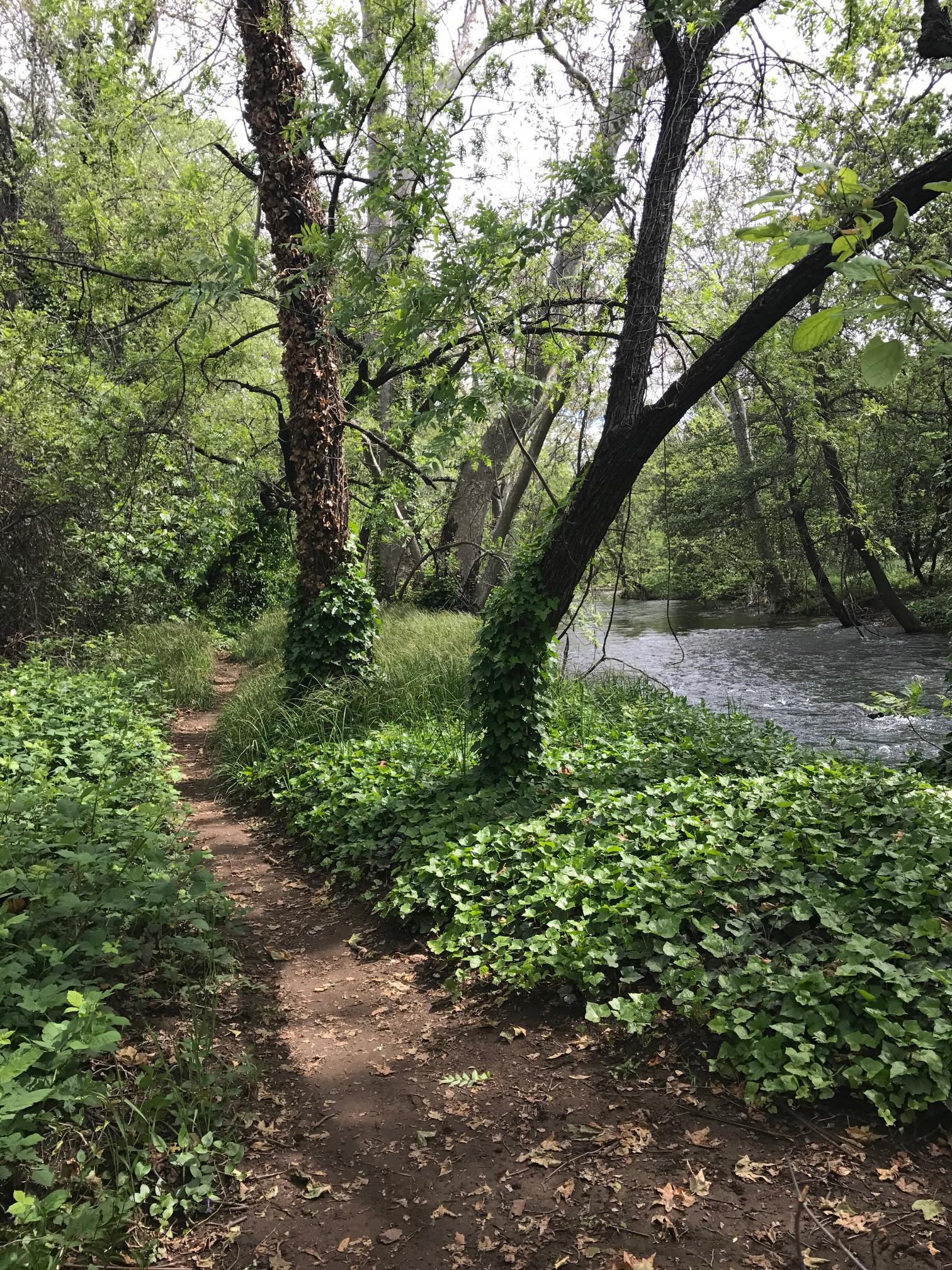

Fun and flowy, a great way to traverse Lower Park to and from the pool and Middle/Upper Park.
| Thank