×

|
Rate it:
Tags:
Level: Intermediate
Length: 4.6 mi (7.4 km)
Surface: Singletrack
Configuration: One-way
Elevation: +423/ -343 ft
Total: 3 riders
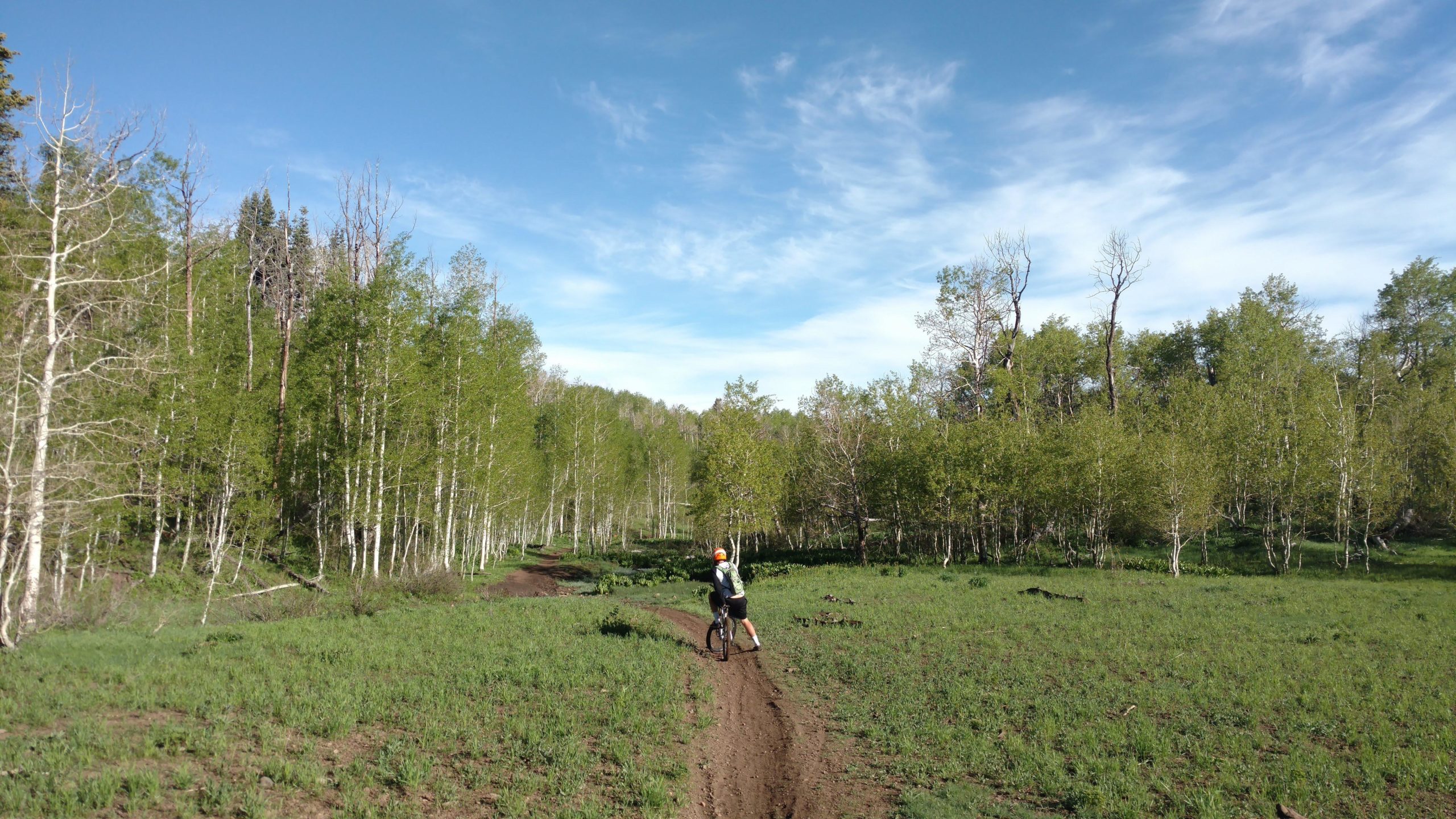
Mountain Biking Bennie Creek
#215 of 713 mountain bike trails in Utah
There are signs you can't get lost very easily just be cautious. The trail is very technical in some sections with lots of root sections and rock gardens but also good flow sections it really has it all. There is a fun big drop on the switchbacks it is very fun to do.
First added by Mtb3 on Jun 26, 2018. Last updated Apr 17, 2020. → add an update
Before you go
- Drinking water: unknown
- Lift service: unknown
- Night riding: yes
- Pump track: unknown
- Restrooms: unknown
- Fat bike grooming: unknown
- E-bikes allowed: unknown
- Fee required: unknown
This trail information is user-generated. Help improve this information by suggesting a correction.
From Main Street in Payson, go south and turn left onto 800 Street. Then turn right onto 600 Street when 800 Street dead ends. 600 street will become FR 015. Follow it until you get to the trailhead where the road crosses the creek. That is where the trail starts.


So much fun I love doing this trail it is quite a rush. Always go to Jones Ranch then come down and ride my bike up the road to Bennie Creek
| Thank