×

|
Rate it:
Tags:
Level:
Length: 6 mi (9.7 km)
Surface: Singletrack
Configuration: Network
Elevation: +506/ -133 ft
Total: 4 riders
Mountain Biking Alcove Springs
#56 of 90 mountain bike trails in Kansas
Leave the parking lot through the north east gate, head down the access road to Stella's meadow, turn left into trees to head to look-out loop. Easy loop around north plateau, single track through trees and connecting between plateau loops north/south. Creek trail and multiple creek crossings. Multiple 25% inclines. Gravel, dirt, rock, grass surfaces.
First added by Aaron Hoffman on Aug 30, 2017. Last updated Apr 19, 2020. → add an update
Before you go
- Drinking water: unknown
- Lift service: unknown
- Night riding: unknown
- Pump track: unknown
- Restrooms: yes
- Fat bike grooming: unknown
- E-bikes allowed: unknown
- Fee required: unknown
This trail information is user-generated. Help improve this information by suggesting a correction.
Leave Marysville south on U.S. Hwy 77, turn right on Osage Rd.(gravel road), left on East River road, left into Alcove Springs parking lot.


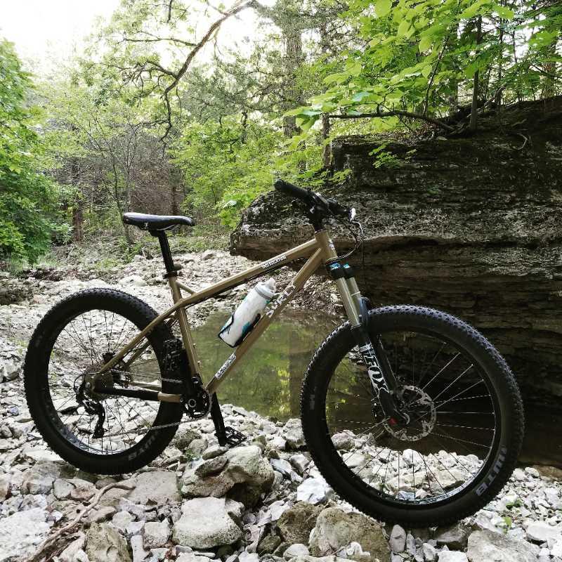

This trail has a great historical background that ties to the wagon train of the Donner party. This trail is out in the middle of our north territory and not well used. The prairie trails are a tad soft due to lack of traffic. It was a windy day so it was a slow and steady ride. Trails are well marked but the map don’t show all the trails so I got a bit confused on where I was headed. Great elevation change and terrain. Very rideable.
| Thank