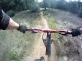
You can start down stagecoach, take that all the way, or hit flood trail. Or from where you park keep going down the hill on the road and turn left on Canyon rd, take that till it hits the dirt and Manzanita trail will be on your lift after about 100yrds from the green gate. Take Stagecoach hill down to the confluence, cross the bridge and take a left to start up the Clementine loop. At the top of the Clementine loop go just past where everyone parks and on the left will be the Connector Trail. Take that to Forresthill Divide trail and do that loop then take the connector trail back to the top of the clementine loop and go up and do the Covert trail and then link up with the Confluence downhill. At the bottom cross the bridge and take Stagecoach back up to the car. You could also park down at the river and do Stagecoach/Manzanita/Flood first so you don't have to end on a climb. I know most of these trails are already posted here, I just got tired of adding each one to my log when I do them all.


Always a great ride. A little bit of everything at some point on some trail. Try ridin it opposite of the way you usually ride. Nice change. It will definitely test your endurance. Highly recommend.
| ThankIndividually, the Clementine, Connector and Foresthill trails are just good. It is being able to connect them into a long loop makes this a 5-star trail system. None of the climbs are real hard and the ST section all seem to flow real well. There were even a couple of times I was reminded of 3rd Divide at D'ville. Great route.
| ThankThis is a kick ass loop full of just about everything you can imagine. You name it, it will be there at some point. The Connector Trail to Forrest Hill is really fun, but really the whole loop is a great ride. Definitely a workout.
| ThankStarted at twin bridges and climbed along the river under the bridge. At top took connector to the Forest hill divide, did loop, back to the connector. Finished with the Mammoth Bar DH to Stagecoach and ended at the car. Great ride. Kicked my ass. I figure a few more times of this before trails are ready and tahoe and I should be good. Eat your wheaties!!
| Thankthis is a regular training ride for me. Its not tech but 30 miles on the fly is great. Watch for riders going in the opposite direction.
| Thanklong epic ride but i would recommend not starting at russel but start either at the river or the top of clementine, the forest hill connector is fun as is that loop,
| Thankvery exhausting ride, not for new riders
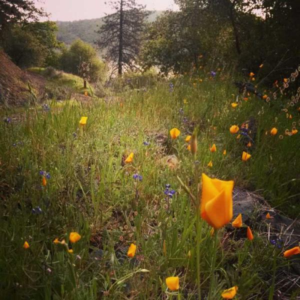
Terrifc aerobic trail. Mostly suitable for all as it is not terribly technical, however, 30 miles is quite a pull and I would imagine there is about 3,500 feet, perhaps more in climbing. Some beautiful scenery and although I am a relative novice I have been to quite a few trails. This trek along with Hole in the Ground are my favs.
| Thank