Trails Illustrated National Geographic Massanuten and Great North Mountain

Trails Illustrated National Geographic Massanuten and Great North Mountain: A detailed, unfolded topographic map displaying various geographical features, roads, and landmarks. The map includes shaded relief areas and is oriented with north at the top, with labels indicating states and regions. It is spread out on a flat surface, with a hint of a chair and other items in the background.
See all photos (5)
×
User
Today
 
  |   Rate it:

Tags:
Where to buy Trails Illustrated National Geographic Massanuten and Great North Mountain    SEE ALL
 
Loading...
Singletracks may receive compensation for purchases made through affiliate links shown above.

Product info

*****   Add a review
0 Singletracks members own this.
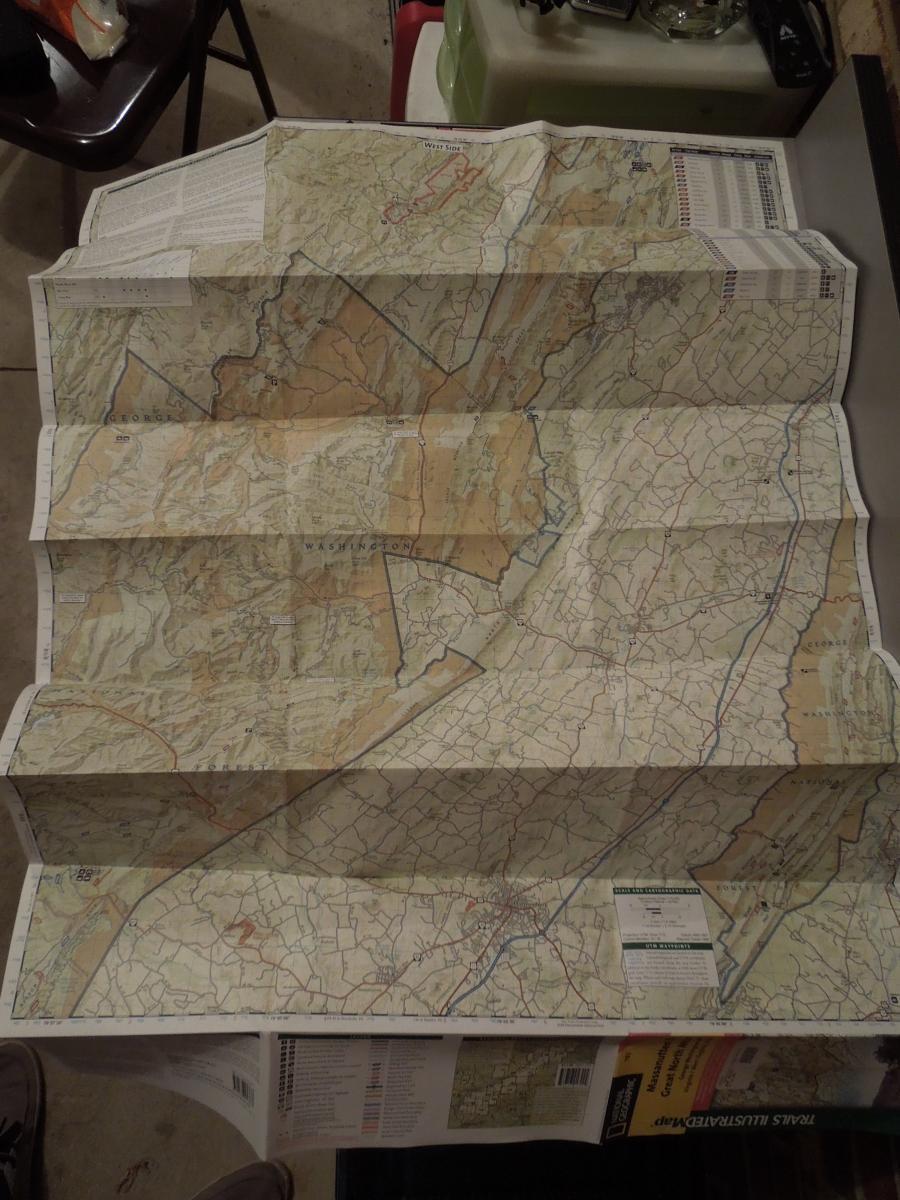
#1 out of 0
Brand: Trails Illustrated
Map # 792.


This Trails Illustrated topographic map is the most comprehensive recreational map for the Massanutten and Great North Mountain area of Virginia. Coverage includes George Washington National Forest; the towns of Harrisonburg, Lurah, and Strasburg; Massanutten Mountain and Tuscarora Trails; Shenandoah National Park, Raymond R. "Andy" Guest Jr. State Park, and Lost River State Park, West Virginia.


More reviews

Trails Illustrated National Geographic Massanuten and Great North Mountain Reviews

    Loading reviews...

Add a review

Rating
 
Review

Rider questions

Q: Do they make one for Northeast Ohio