
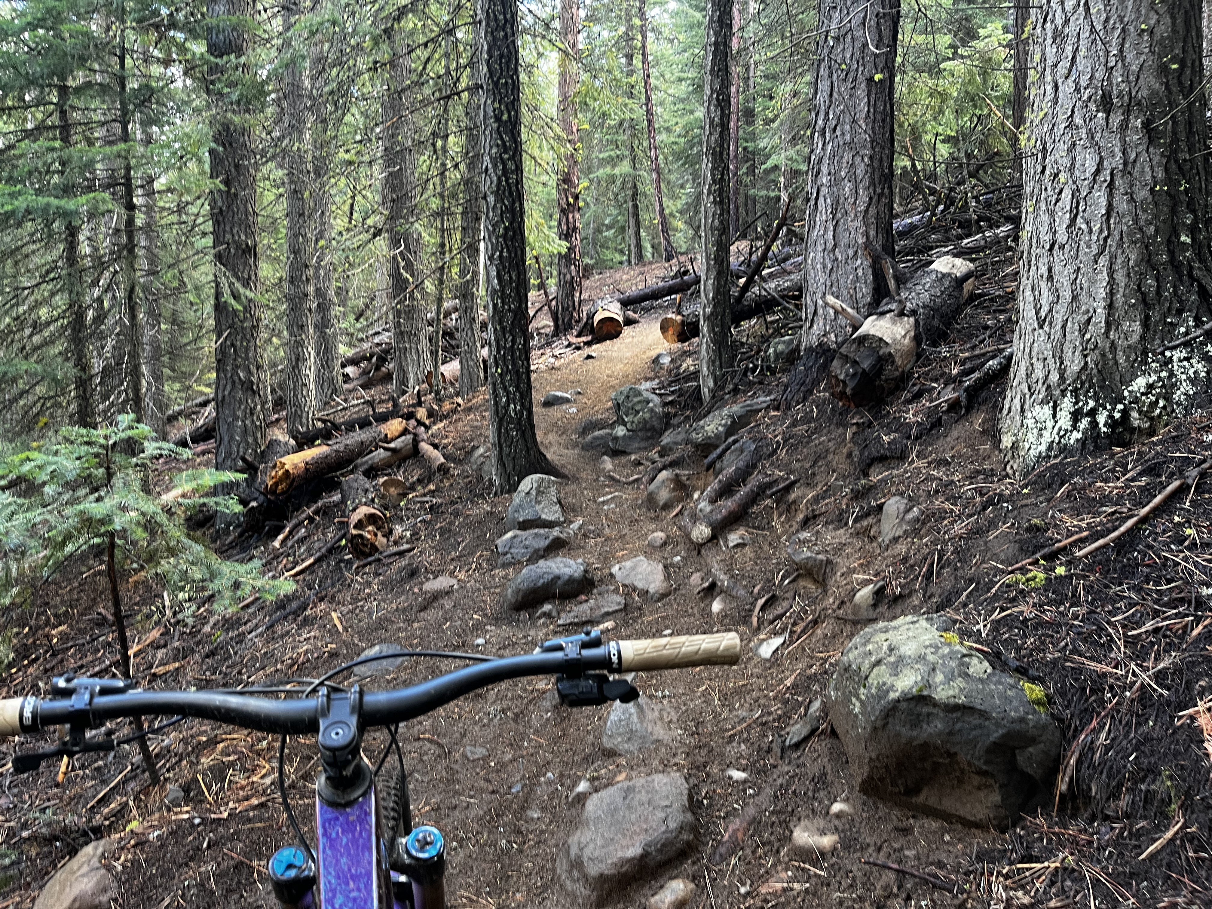
August 15th is a special day in Bend, Oregon. For months, we wait in eager anticipation for the opening of Flagline, a trail that is located toward the far edge of Bend’s trail system. As the summer weeks tick by, the trails get drier and more blown out from heavy use by locals and visitors alike. But on August 15th, untouched dirt and backcountry singletrack await those who are patient.
As a Bend local, I certainly look forward to it. “Flagline Day,” as we affectionately call it, causes many to forgo long-standing plans and lift-access laps at Mt. Bachelor Bike Park for a backcountry trail experience. Well, as “backcountry” as Bend gets, that is.
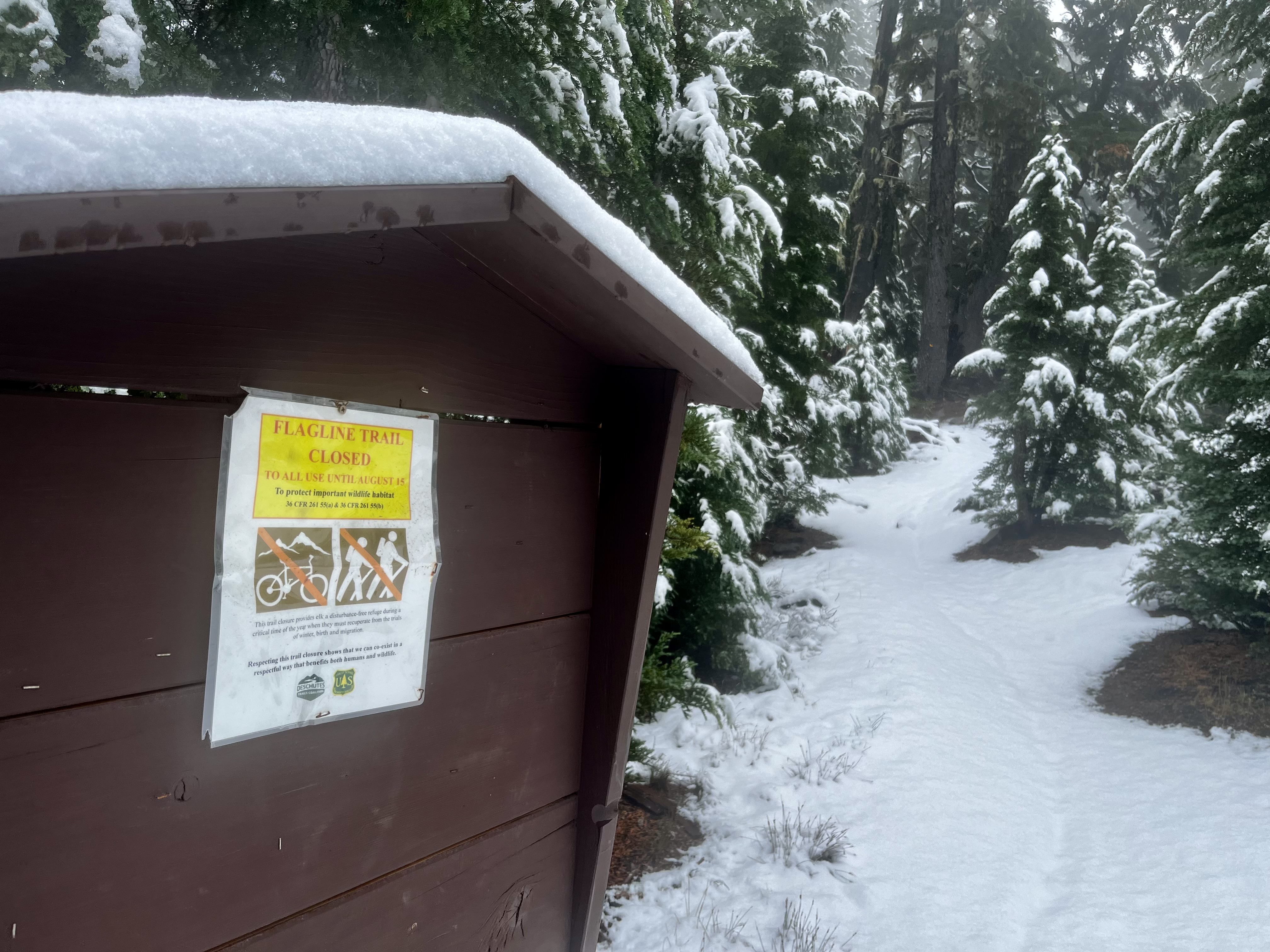
If the rest of the Bend trails are open, what is up with Flagline?
When people talk about mountain biking in Bend, Oregon, they are likely referring to the hundreds of miles of singletrack on the west side of the city. These trails stretch from the edge of town roughly 25 miles into the foothills of the Cascade Mountain Range. And, as the trails head west toward the mountains, they also gain a good amount of elevation.
As the trails get higher, the snow sticks around longer. However, it isn’t snow that keeps us off Flagline. While a heavy winter may leave snow at higher elevations until July, it’s long gone well before the mid-August Flagline opening date.
It is, in fact, elk that keep us off Flagline until August 15th.
Elk calves, to be exact. Well, elk calving season. As the spring turns into early summer, cow elk begin moving up to higher elevations and into the Bridge Creek Watershed, which Flagline cuts through. Biologists identified the area as having a combination of resources that is relatively scarce near the Bend area: high elevation, good meadows and vegetation for grazing, easy access to water, and a relatively untouched and roadless forest.
The area is prime habitat for elk and other wildlife and, for many of the same reasons, it’s prime habitat for mountain bikers. But not until August 15th.
My “Flagline Day” came a few weeks later
Flagline is definitely one of the more remote trails in Bend. Unlike the spiderweb of interconnected trails to the east, Flagline has no connecting or intersecting trails aside from the one or two at either end. Along with its 7,000-foot topout, Flagline’s remoteness makes it a backcountry experience in Bend.
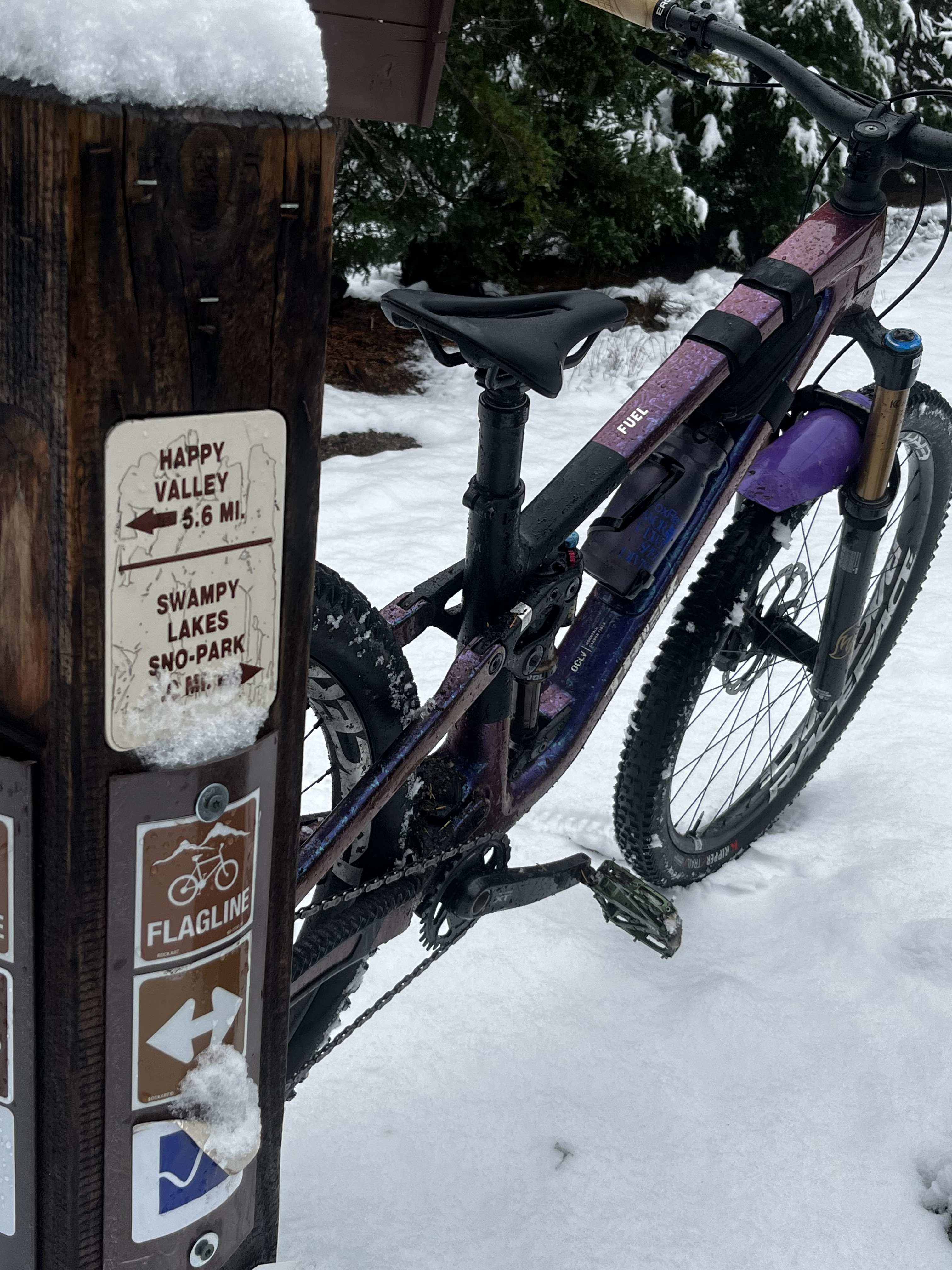
Flagline is technically split into three sections — Upper, Middle, and Lower. When we go “ride Flagline,” we are talking about Middle and Lower Flagline, which combine to make up a roughly 1,100-foot descent over four miles. The trails are solidly blue, leaning toward dark blue in some technical sections, especially considering the remote area.
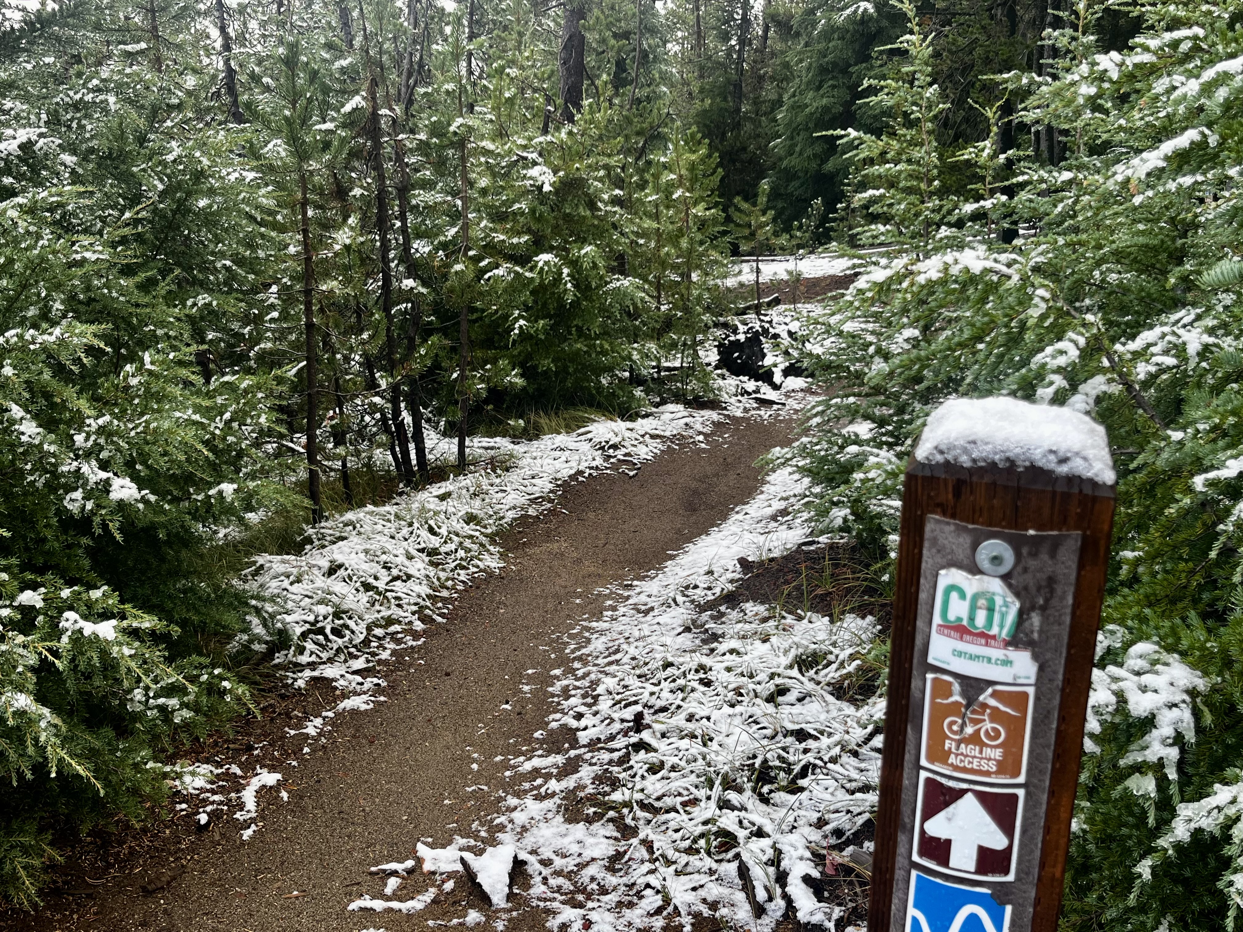
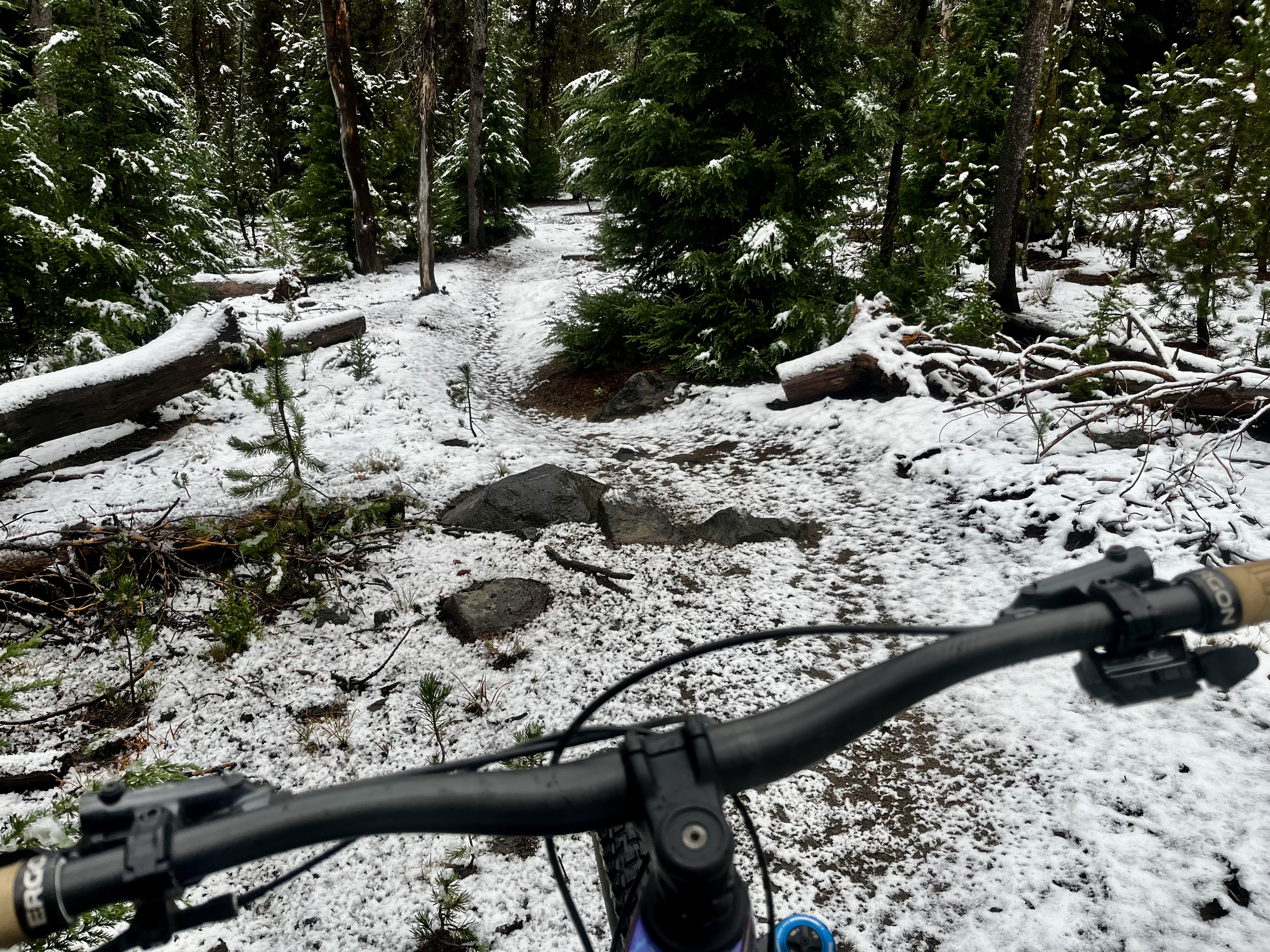
Because of a busy schedule and being out of town, my “Flagline Day” fell on Labor Day weekend. And, ironically, despite my earlier statement that it isn’t snow that keeps Flagline closed until August, I climbed through about two inches of snow for a few miles.
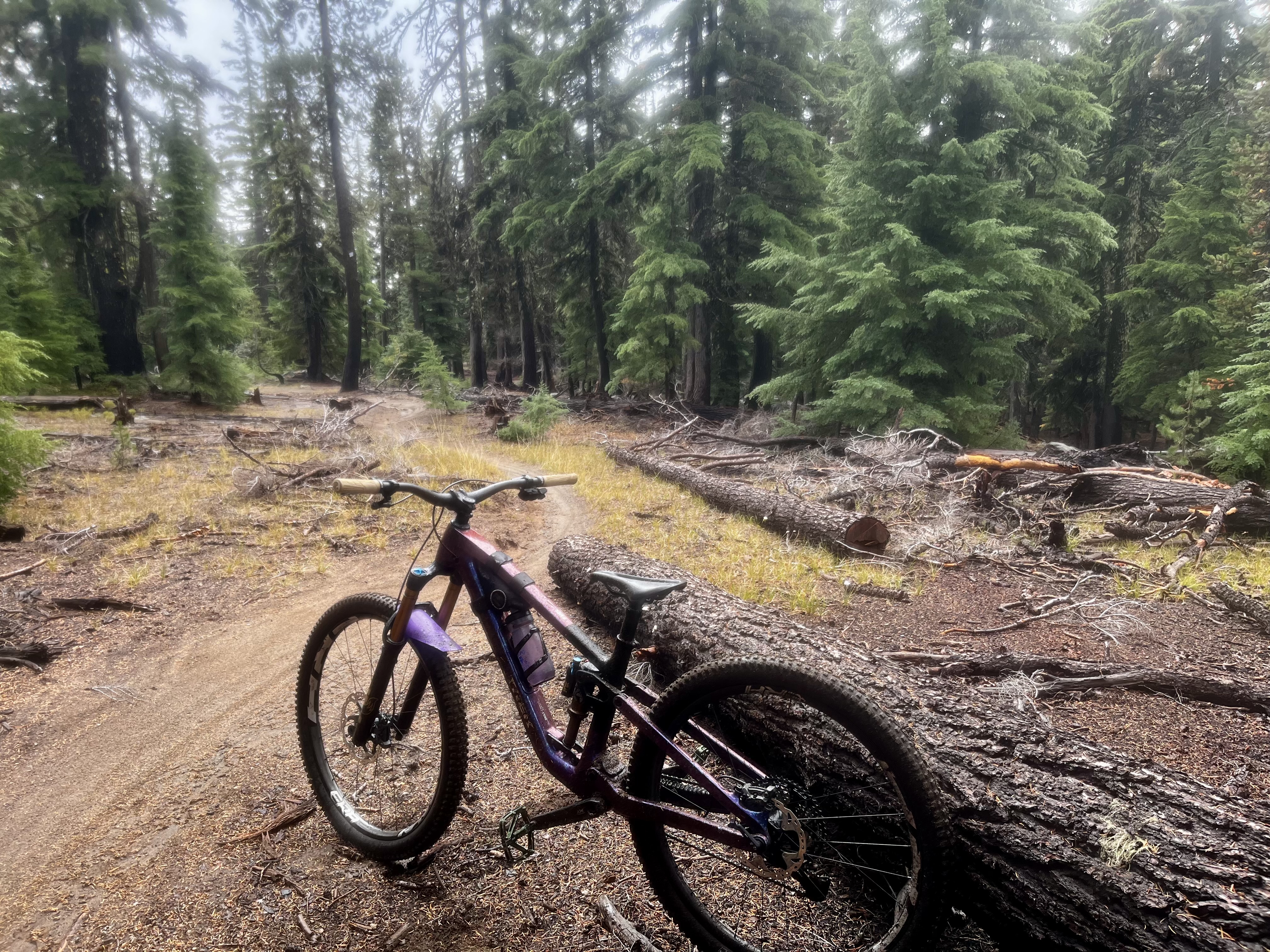
After descending roughly half a mile, the snow let up, and hero dirt persisted. The soil around Bend is mostly volcanic ash and can hold plenty of moisture, which we had on Labor Day weekend. The cool temps, rain, and snow at higher elevations aren’t a regular occurrence for early September, but I welcomed it, knowing the dirt would be spectacular. Flagline is already known for having great dirt simply because it hasn’t seen tires all summer. The storms that passed through that weekend made conditions even better — once I dropped below the snowline, that is.
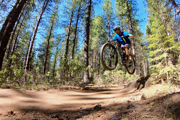
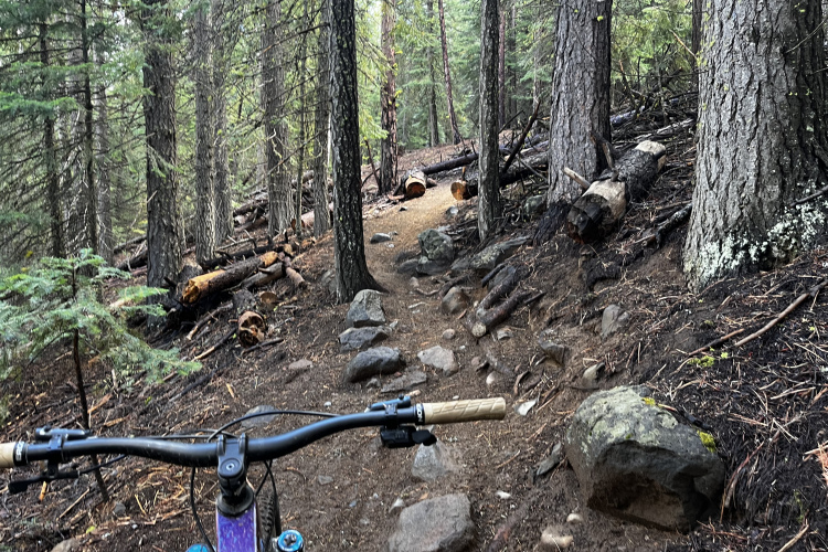
Overall, the Flagline descent is what you would expect from an intermediate backcountry trail — a good amount of rocky and rooty tech, unsupported corners, and a “find your flow” mentality. While the descent has a good amount of elevation, it isn’t drastically steep. But after familiarizing myself with the trail over the years, certain places and pockets start to stand out where “flow” is easy to find, helping you carry speed.
It also has some fun rock features — no massive granite slabs, but smaller rock rolls that are pretty few and far between in the Bend area. These are fun spots to stop and play, as several lines vary in difficulty. Some of the lines are also drop and gap options, so pull at your own risk. A broken rim, or broken collarbone, can mean a long walk out.
While the trail is spectacular, the best aspect of Flagline is stopping and hearing absolutely nothing but nature. No people, no cars. Just wildlife. On my Flagline Day, it was the combined sound of snow melting from the trees and rain steadily coming down. I was soaked and fairly cold, yet there’s nowhere I would have rather been.
After Flagline, it can be a choose-your-own-adventure, but South Fork keeps it backcountry
It isn’t until the end of Flagline that other trails really start to become an option. And while there are several routes to choose from, one clear option stands out: continue descending South Fork.
And that is exactly what I did. Like Flagline, th South Fork trail is a relatively remote backcountry-style experience, though not as remote as Flagline. While it connects to more trails, South Fork is a bit of a grind to get to and therefore sees less traffic than the lower-elevation options.
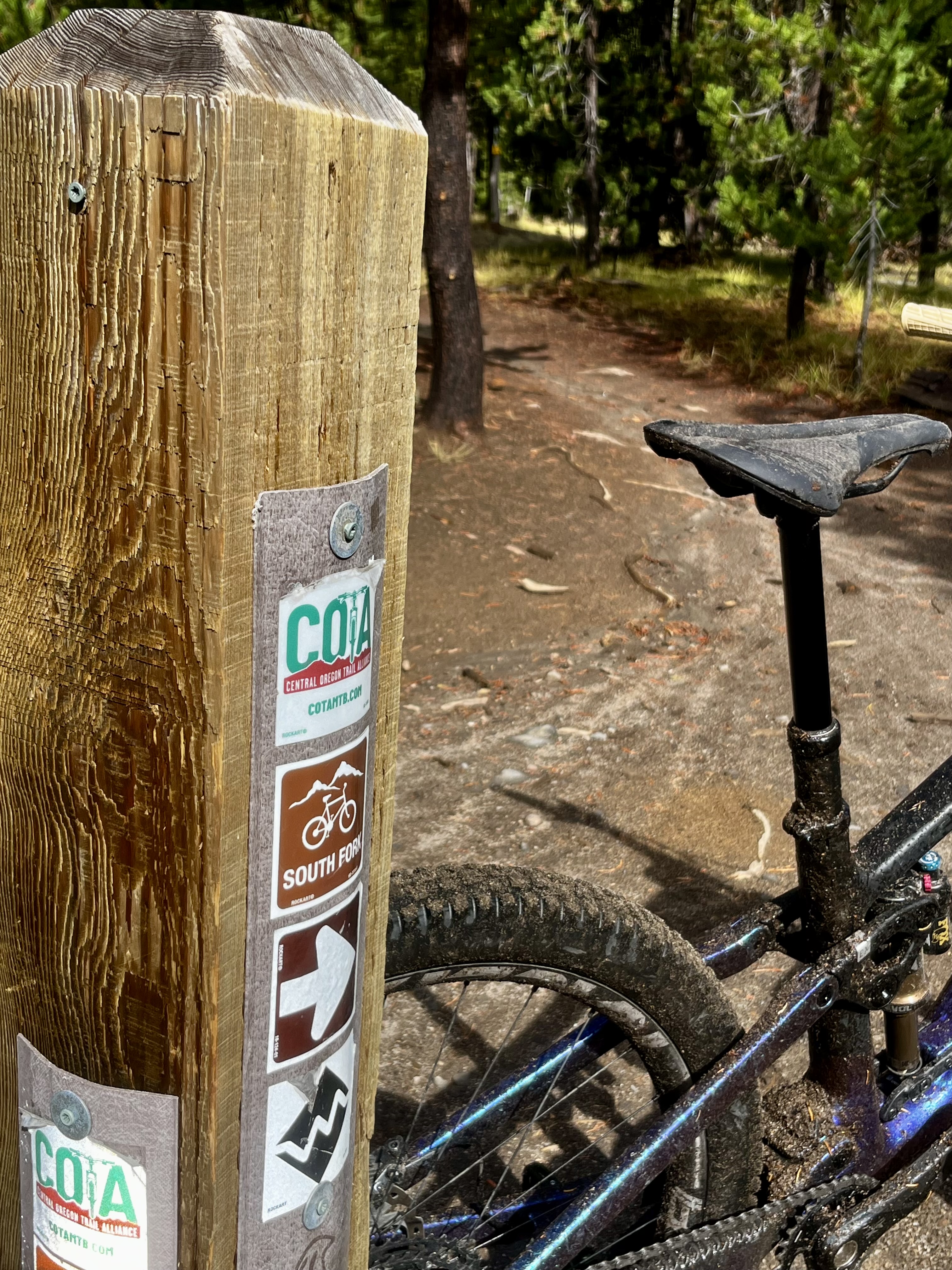
While it has many of the same features and characteristics of Flagline — techy rocks, roots, and overall jank — South Fork is a step up from Flagline. The black-diamond trail descends nearly 1,000 feet over 3 miles. And, on that Labor Day weekend, I had South Fork all to myself.
Easily, the best part of South Fork is where it reconnects with the Tumalo Creek trail roughly halfway down. Here, the trail finds extra rocks and roots, the grade dips a bit more, and despite a short traverse, the speeds are higher overall as it follows the creek out.
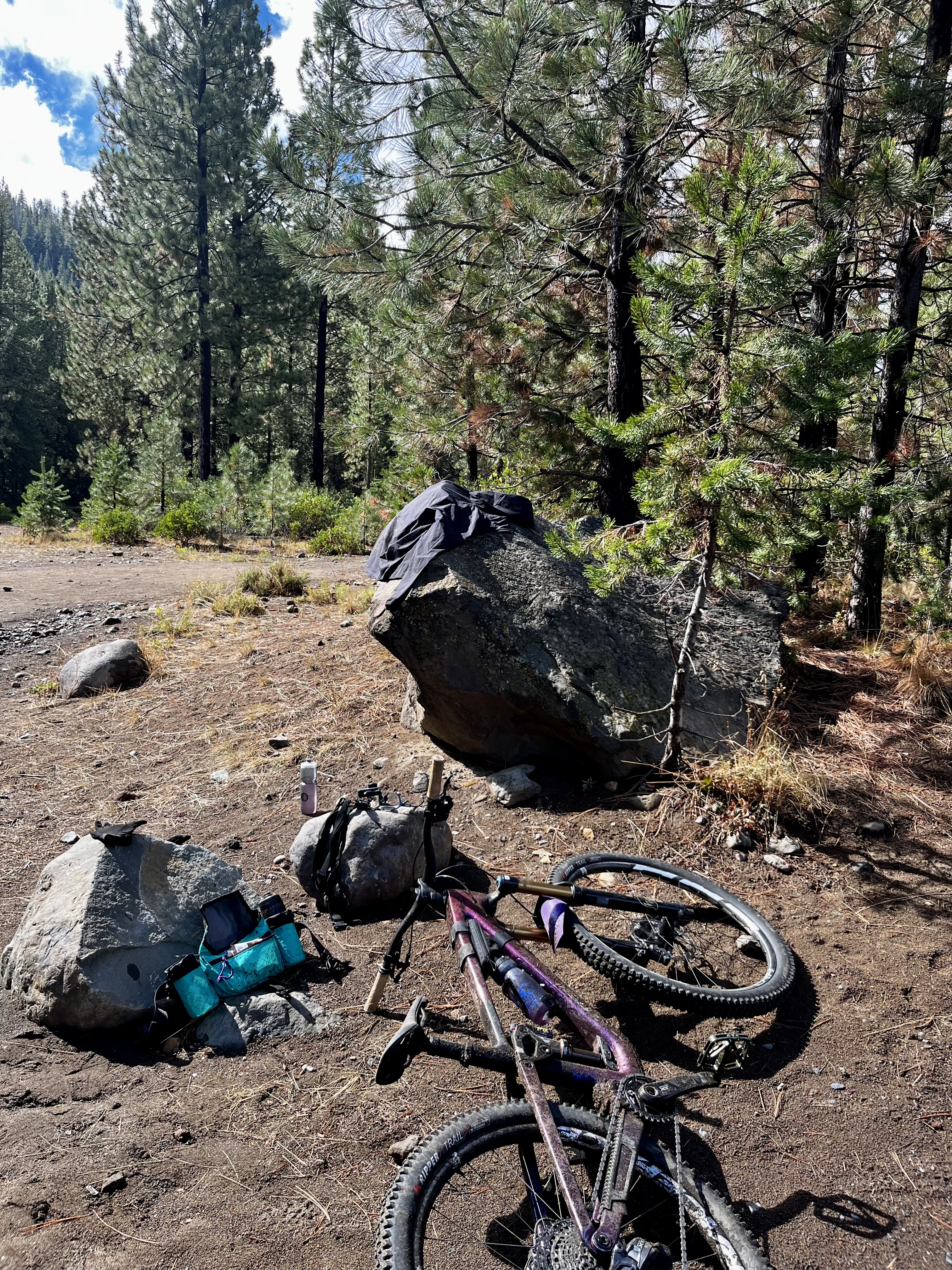
Unfortunately, South Fork is the end of the backcountry experience
My backcountry in Bend experience ended at the bottom of South Fork, but my ride was far from over. From there, I still had another 20 miles to make it back to my car. But these 20 miles would be through Bend’s spiderweb of trails which, admittedly, don’t feel very remote or backcountry.
That’s where I encountered my first riders of the day — biking 10 miles on a Sunday in Bend, Oregon, and not encountering anyone is pretty unheard of. No doubt the storm had something to do with it. The storm also had something to do with potential riding buddies bailing on me the night before.
An even more backcountry ride involving Flagline and South Fork is also an option. North Fork is a climbing-only trail that is accessed from one of the most popular trailheads and tourist sites in Bend: Tumalo Falls. However, after about a mile of climbing, the tourists who are there to see the waterfall thin out and you’re left with three more miles of backcountry singletrack. And good luck counting the waterfalls along the way.
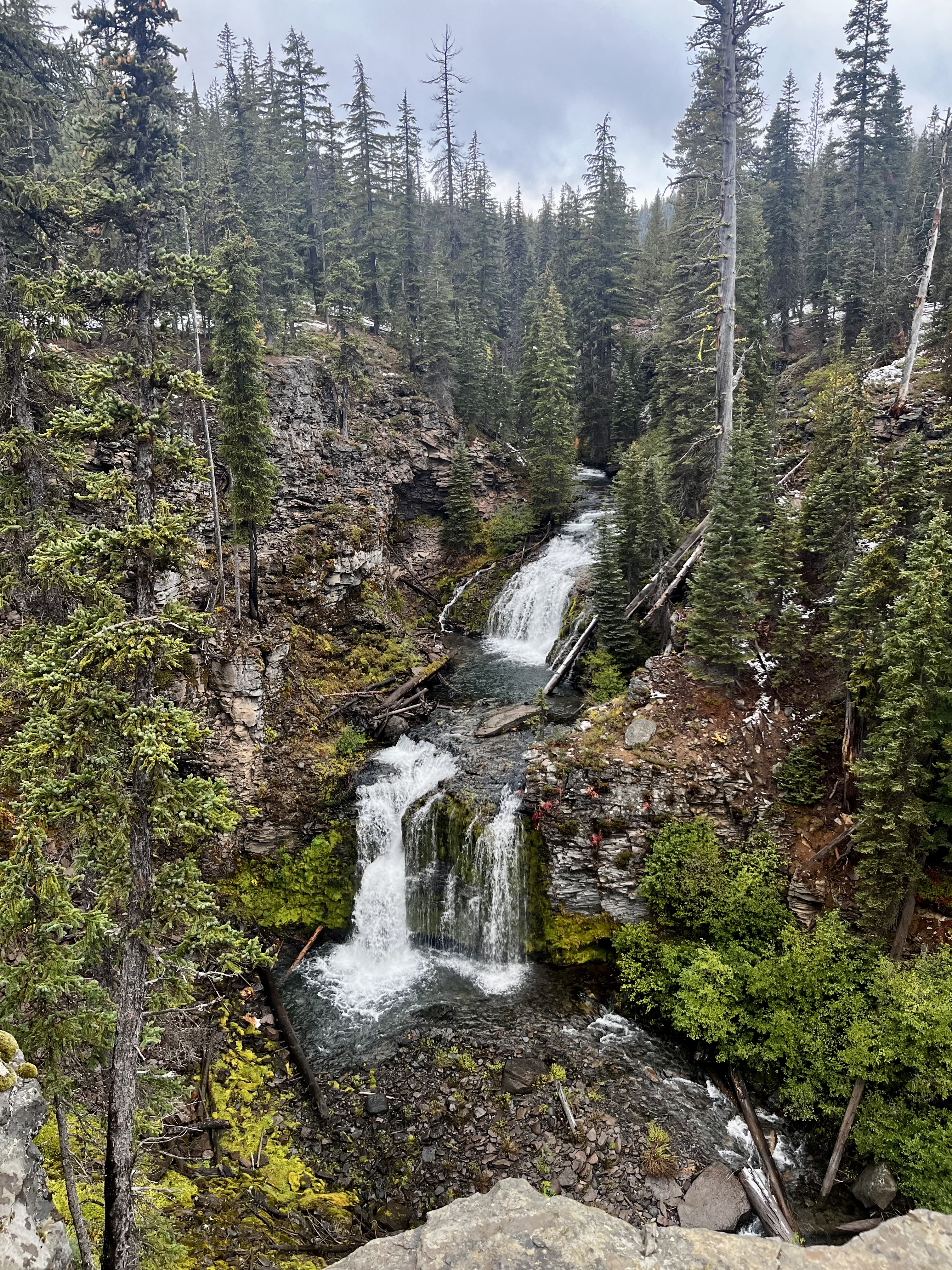
North Fork dumps riders into Happy Valley, a phenomenal alpine meadow and a great spot to stop for a snack or lunch. From there, you loop onto the Metolius-Windigo trail before connecting onto Flagline and eventually South Fork.
No shuttle, but certainly more of a grind.

My “big ride” that day was roughly 30 miles with about 3,500 feet of elevation loss — not massive for 30 miles but substantial enough and “massive” where it counts.
That day I took the Transit to Trails shuttle bus for a $10 fee, which was well worth it. I’ve organized or been a part of my own shuttles in the past, and this was much easier and just as cheap. However, an important note: despite the “shuttle” up, Flagline still starts with a roughly three-mile, 700-foot climb.
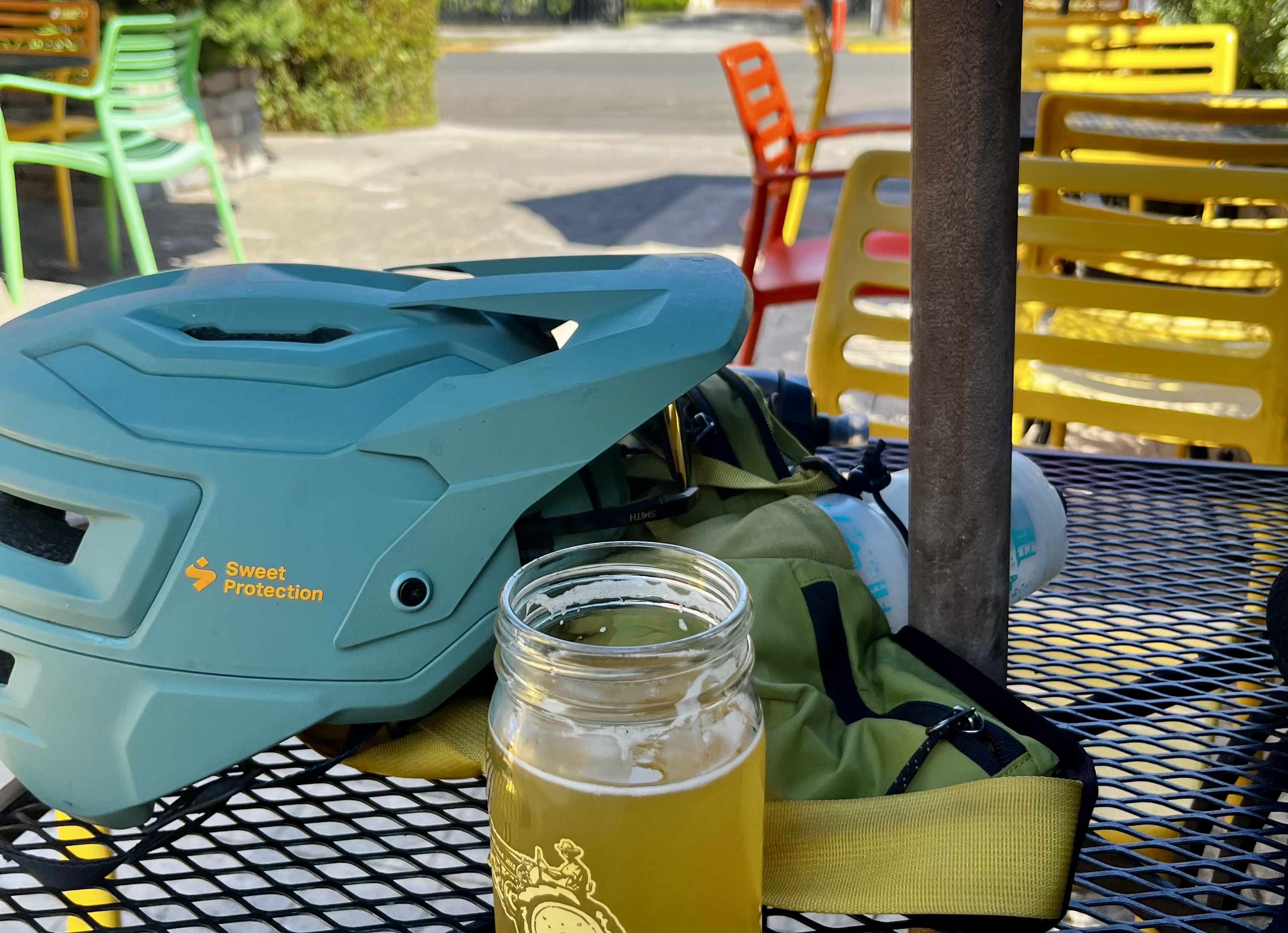
A typical Flagline-to-town ride almost always ends with a beer — which, in Bend, the options are almost endless. But I was freezing, soaked, covered in mud, and it was pouring rain. Sitting inside and leaving my bike unattended wasn’t an option, nor was continuing to freeze outside. My only stop was to warm up by an outdoor covered fire at 10 Barrel Brewing before pushing on to my car.
No post-ride beer for me. That’s okay, though; it just means I have a good excuse to do the ride all over again. But I’ll need to do it soon before the snow flies once more and Flagline is closed until August 15, 2027.
Keep up with the latest mountain bike news by adding Singletracks as a preferred source on Google.



0 Comments