


Find Mountain Bike Trails Near You
Latest Mountain Bike Trail News
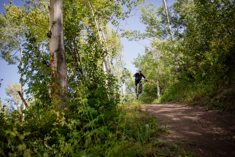
Where are the Best Mountain Bike Trails in the World?


Best Mountain Bike Trails
The Whole Enchilada is one of the best mountain bike trails, as rated by Singletracks members worldwide! This 26ish-mile route in Moab, Utah is an all day adventure that offers epic scenery, rocky terrain, and insanely fun downhill. (Photo: SPH814: Porcupine Rim Trail, The Whole Enchilada)
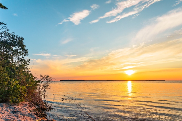
Also topping the list are favorites like the 500-mile Colorado Trail, Dupont State Forest‘s east-coast slickrock, and the massive trail network of Santos, Florida. Add these must-ride mountain bike trails to your wishlist!
Where can I go mountain biking?
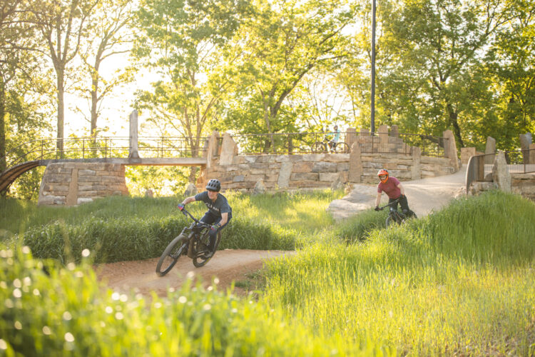
Discover new mountain bike trails
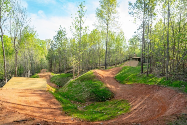
So many trails, so little time! The Singletracks team has found tons of great mtb trails all over the world. Check out these great mtb destinations, or cover a variety of trails at a lift-serviced bike park or find some hidden gems at these national forests around the US.


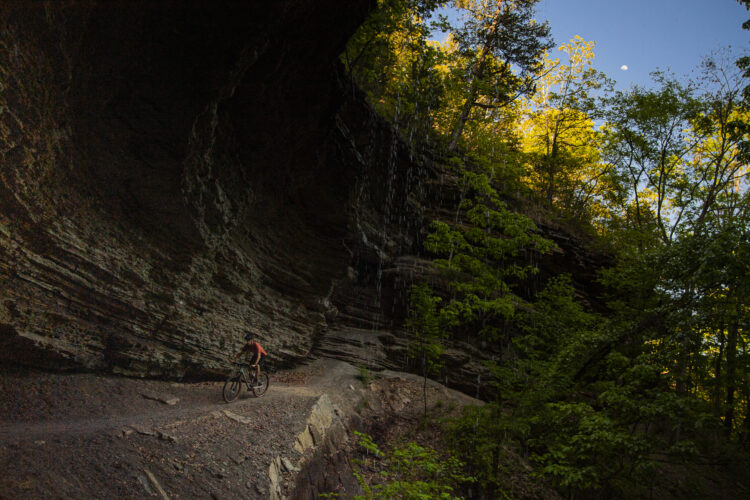


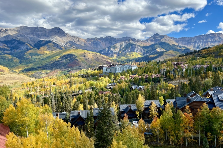
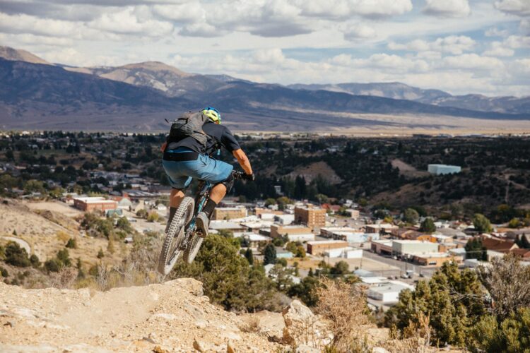
Popular mountain bike destinations
We recently published a list of all the best mountain bike destinations in the USA and worldwide. Or course, there are many more great mountain bike destinations worthy of visiting and exploring. And the ultimate question is where will you go next?

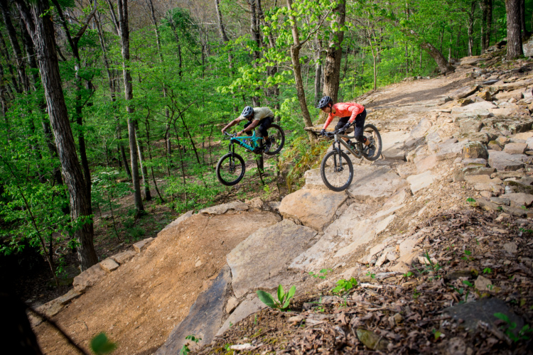
Pisgah National Forest
The Pisgah National Forest is renowned as the premiere mountain bike destination in the Southeastern United States, and is truly one of the best places to mountain bike the world over.

Finale Ligure, Italy
People flock to this little seaside city for its sandy beaches, gelato tours, hidden beer and wine cellars, gnocchi al pesto, rock climbing, sailing, Roman-era wonders, and — above all — the amazingly well-engineered and maintained trails.

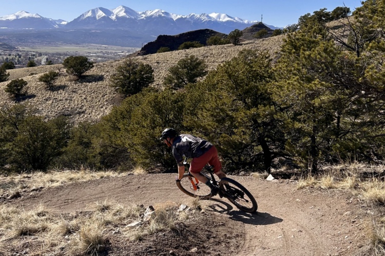
Fruita, Colorado
Fruita and it’s neighbors Grand Junction and Palisade, really the entire region of the Grand Valley, are home to some popular desert trails like Kokopelli-Area Trails, the Lunch Loops, and 18 Road Trails.

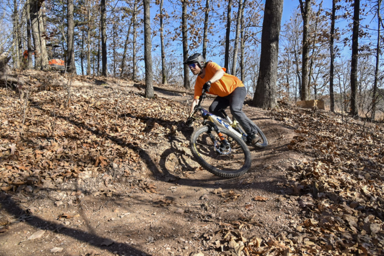
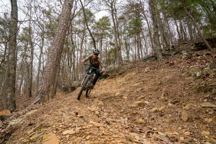
Bentonville, Arkansas
Ride to the trails from downtown Bentonville. Arkansas has a variety of mountain bike trail systems for all types of riders.
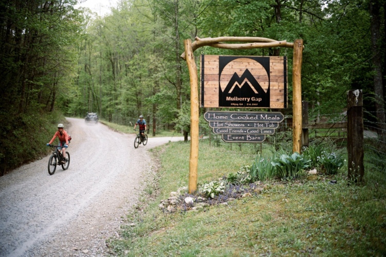
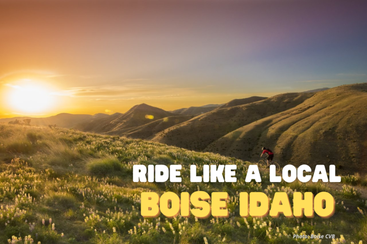
Ride Like a Local


More MTB Trail News
Topics: Trail Flow | Ride Reports | Trail Building | Trail Advocacy


Alaska
Arizona
Arkansas
California
Colorado
Connecticut
Delaware
District of Columbia
Florida
Georgia
Hawaii
Idaho
Indiana
Iowa
Kansas
Kentucky
Louisiana
Maine
Maryland
Massachusetts
Michigan
Minnesota
Mississippi
Missouri
Nebraska
Nevada
New Hampshire
New Jersey
New Mexico
New York
North Carolina
North Dakota
Ohio
Oklahoma
Oregon
Pennsylvania
Rhode Island
South Carolina
South Dakota
Tennessee
Texas
Utah
Vermont
Virginia
Washington
West Virginia
Wisconsin
Wyoming