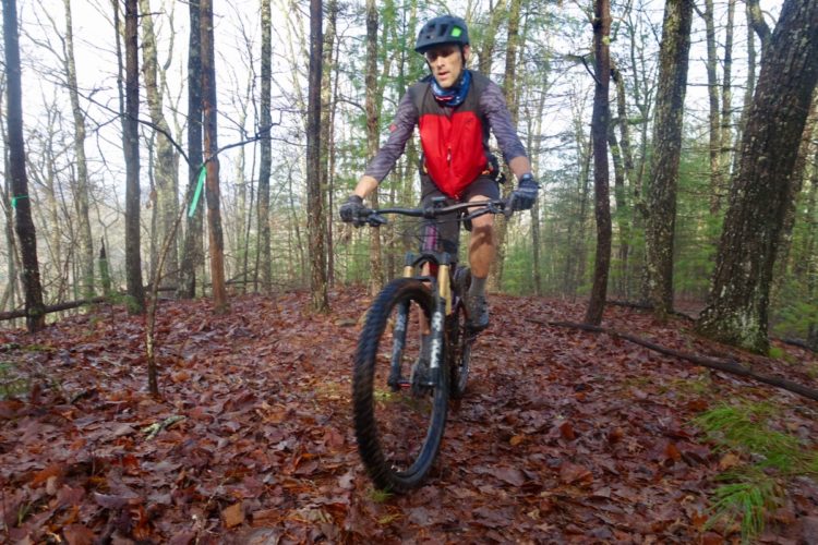
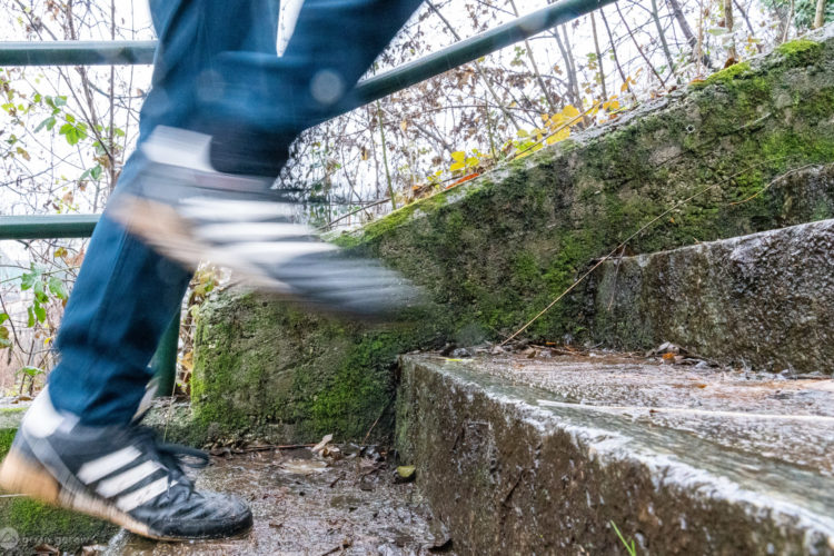
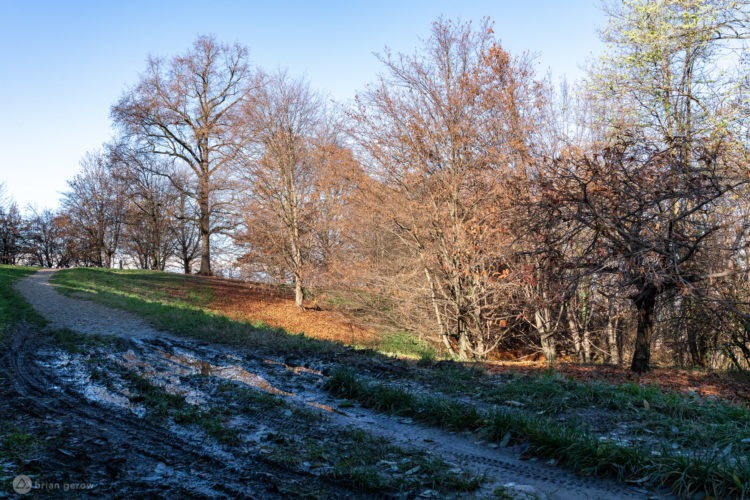
It’s happened to everyone: you’ve been planning a ride for weeks, only for it to rain the day before the ride, closing the trails and crushing your plans. Or you’ve driven (or worse, flown!) to shred epic singletrack and upon your arrival, you find the trail is a mud hole.
There’s certainly an art to predicting trail conditions. Local riders learn over time which trails drain better than others. Amateur meteorologists study rainfall totals and ambient temperatures to predict when trails will be suitably dry. Many of us just go with our gut and figure, hey, it’s been a while since it rained–the trails must be dry by now!
Singletracks has been collecting trail condition assessments from mountain bikers all over the world for about a year now, and some interesting patterns are starting to arise. The following examples show trail condition changes over a roughly 1-year period for two trails where we received 60-160 status updates during the year (that’s about one update every 2-5 days).
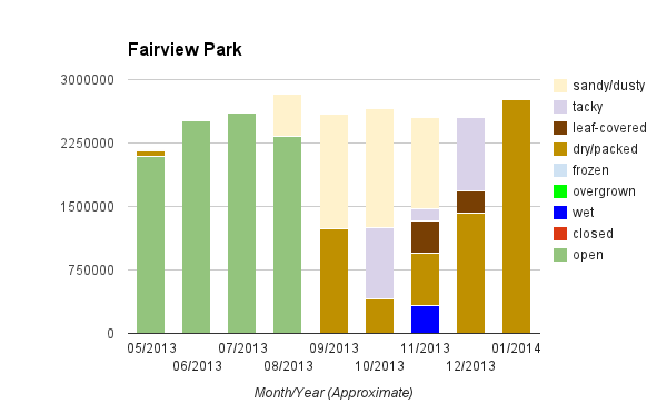
At Fairview Park in Costa Mesa, CA, it looks like conditions are pretty good year round! In August of last year we switched to subjective trail condition reporting as opposed to a simple open/closed status, which is reflected in the green bars on the left side of the chart.
Things stayed pretty dry and dusty in August and September but by October, conditions transitioned to tacky and hardpack. There was even a short stretch where the trails were wet–which riders should try to avoid. And it looks like the leaves came down around November; by January they were gone.
I recently planned a trip to Alafia, so this one is pretty useful to me personally. I see the trails get wet fairly regularly, especially in the summer. From November through January things were frozen (does it really freeze in Florida? see below), but so far February is looking a little wet.
Anyway, based on this chart the ideal time to ride Alafia is probably in October when it seems the trails are in the best shape. Oh, and if I decide to ride in June (who does this in Florida?) I’ll bring some hand pruners, just in case.
Limitations
I’ve already mentioned the biggest limitation to the accuracy of Singletracks trail conditions reporting, update frequency, but there are other issues as well.
Reporters aren’t always reliable. In one data set we looked at for a trail in Florida, there were a couple reports of frozen trails in July and August (ha!). In fact, reliability is the reason we removed “open” and “closed” statuses; land managers weren’t comfortable with unofficial reports on official statuses.
Conditions are also open to interpretation. When does a trail go from being wet to tacky? It’s also possible a trail is wet and leaf covered at the same time… but the reporter has to pick the most applicable status.
Going forward
Not only is this data potentially useful for mountain bikers planning trips, but it can also be an indicator of problems with trails that don’t drain properly or are under-maintained. Singletracks continues to collect trail status updates via our mobile app and we want to hear from you: how would you like to see trail data collection improved and distributed?


