
Here’s where we left off from Part I: two flat tires on the first day, 8 hours in the saddle, and a night above 11,400 feet.
Day 2: Bolam Pass to Black Mesa

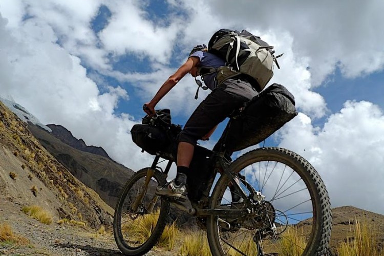
The next morning we woke up to dark, cloudy skies and a cold wind and none of us were in a hurry to get back on the bike. After making some scrambled eggs and grabbing handfuls of energy bars we eased onto the forest road and started a fast, bumpy descent toward Barlow Lake and highway 145. As I was picking up speed toward the bottom of the descent I felt my rear rim ping off a sharp rock – another pinch flat!

By this time we had all recognized the cause of my flats (low pressure) and the all guys took turns pumping up the new tube. In the end I’m guessing we had 60 psi in that puppy which made me feel a lot better (though my ass would soon disagree). After crossing highway 145 we began a gradual climb with incredible views of the valley below.

By the end of the day we had ridden 28 miles, descended 4,200 feet, and climbed about 3,000 with a big push coming at the end toward the Black Mesa Hut located at 10,600 feet. It stayed cloudy all day which is pretty rare for Colorado and we were stoked to get a fire going in the wood stove at the hut. After settling in at around 3pm we walked down to a small stream to wash clothes and quickly found ourselves running back to the hut in the rain.

Day 3: Black Mesa to Dry Creek Basin
Despite getting some glimpses of the sun the previous evening, we awoke to another gray, windy day above 10,000 feet and we were pretty sure we’d be riding in the rain at some point during day 3. The good news was the route description said we’d be descending more than 5,000 feet and climbing only about two thousand. Downhill is good.

Even though our route was completely on forest roads the scenery was great with views of large reservoirs down below and aspen and spruce trees all around us. Forest road 615 offered a surprisingly fun downhill complete with rocks, stream crossings, and gnarly rutted lines.


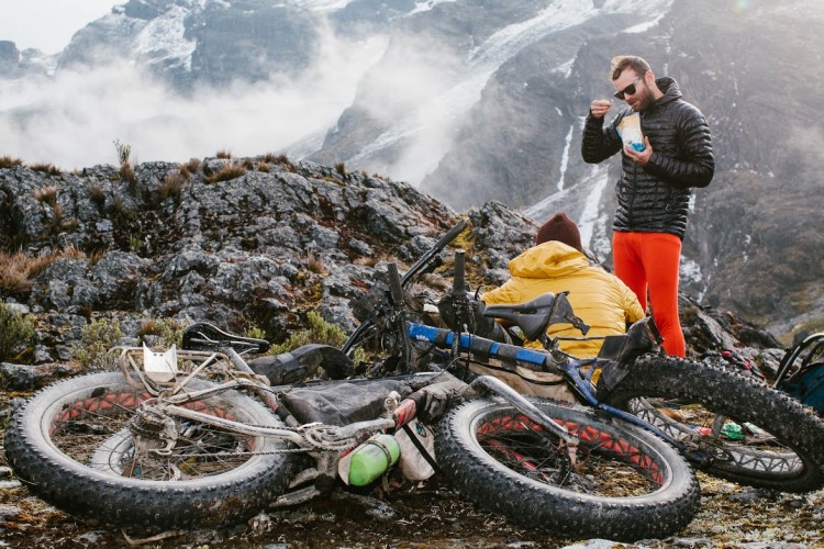
At around 7,700 feet we passed by Miramonte Reservoir and were stoked to take a dip – until we felt how cold the water was. I stripped down to my bike shorts and waded in but after just a few minutes my feet were completely numb. After a siesta on the dock we pushed over a short, 700-foot climb and zoomed down to the hut, ending the day at 35 miles.

It was pretty amazing to see the changes in scenery from 10,600 feet to 7,200 feet and at this point there were cacti and scrub brush everywhere. The views from the hut were pretty incredible but unfortunately the lower elevations meant no more cold beer for the next few days. We spent the afternoon and evening watching the clouds roll over the distant peaks and nearby mesas and that night a big thunderstorm rolled through and soaked the arid soil. Only in Colorado.

The Dry Creek Hut hidden among the Juniper trees.

Continue reading part III: Wedding Bell and Paradox Valley.


10 Comments
Sep 8, 2010
Sep 9, 2010
Man, this look incredible though! Challenging both physically and mentally, but it's got to be rewarding.
Hey trek7k, where do you book this trip? Can you post some info on it? Nice story, definitely looking forward to the rest.
Sep 8, 2010
Sep 20, 2010
Sep 9, 2010
Hey Trek7k,what is the max amount of rider's that can go on each trip?
Sep 8, 2010
Sep 8, 2010
Sep 8, 2010
Oct 28, 2011
Sep 8, 2010