
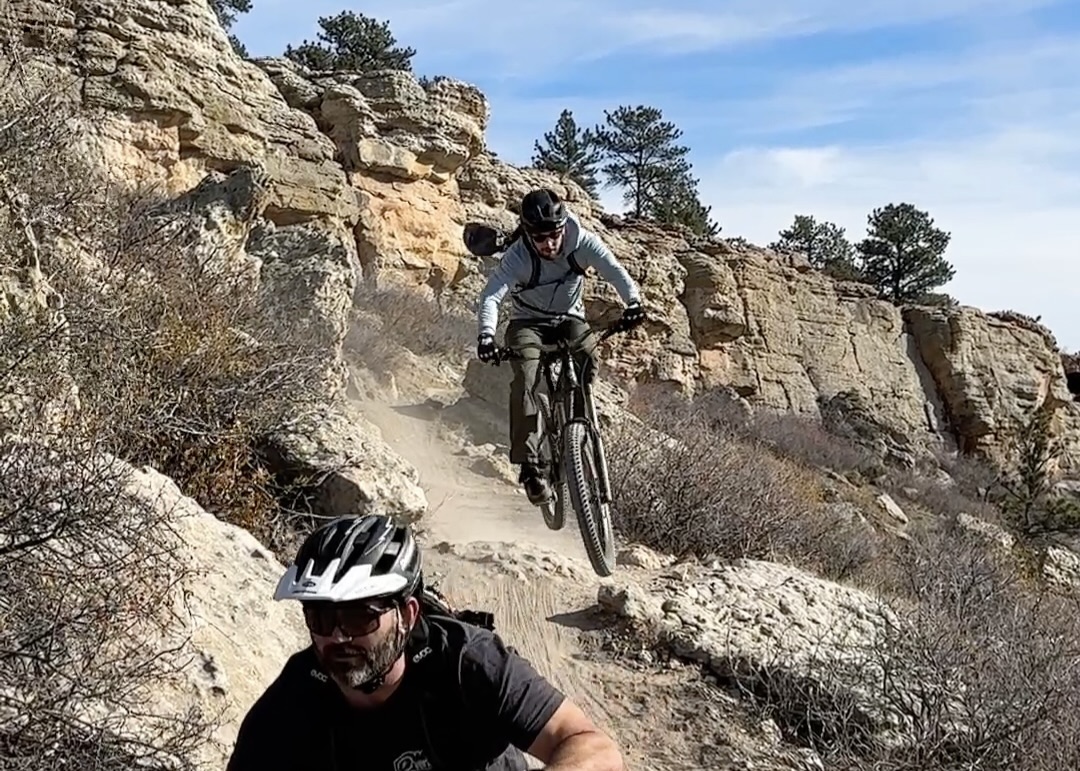
The greater Fort Collins, Colorado, area offers plenty of trail access and many mountain biking options. However, the riding experience had a noticeable gap. While the area offers plenty of riding opportunities on both ends of the skill spectrum, solid intermediate options were few and far between.
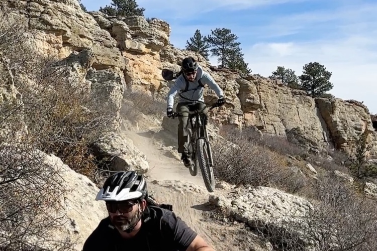
With two new natural areas and a new trail system, more than seven miles of intermediate options now exist just outside Loveland, south of Fort Collins.
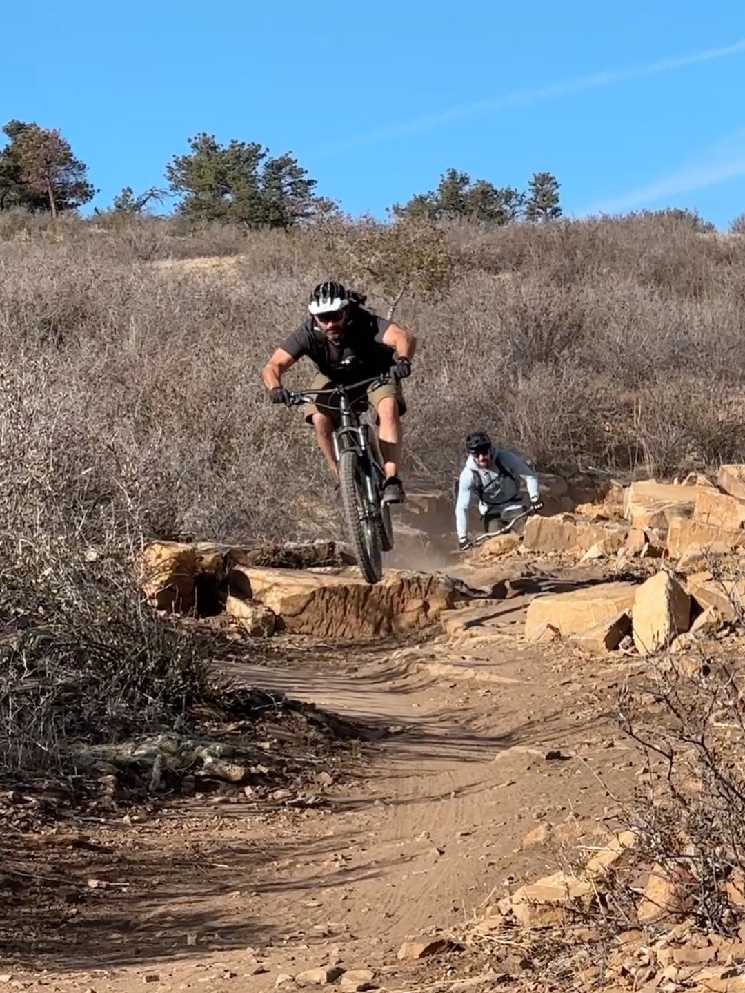
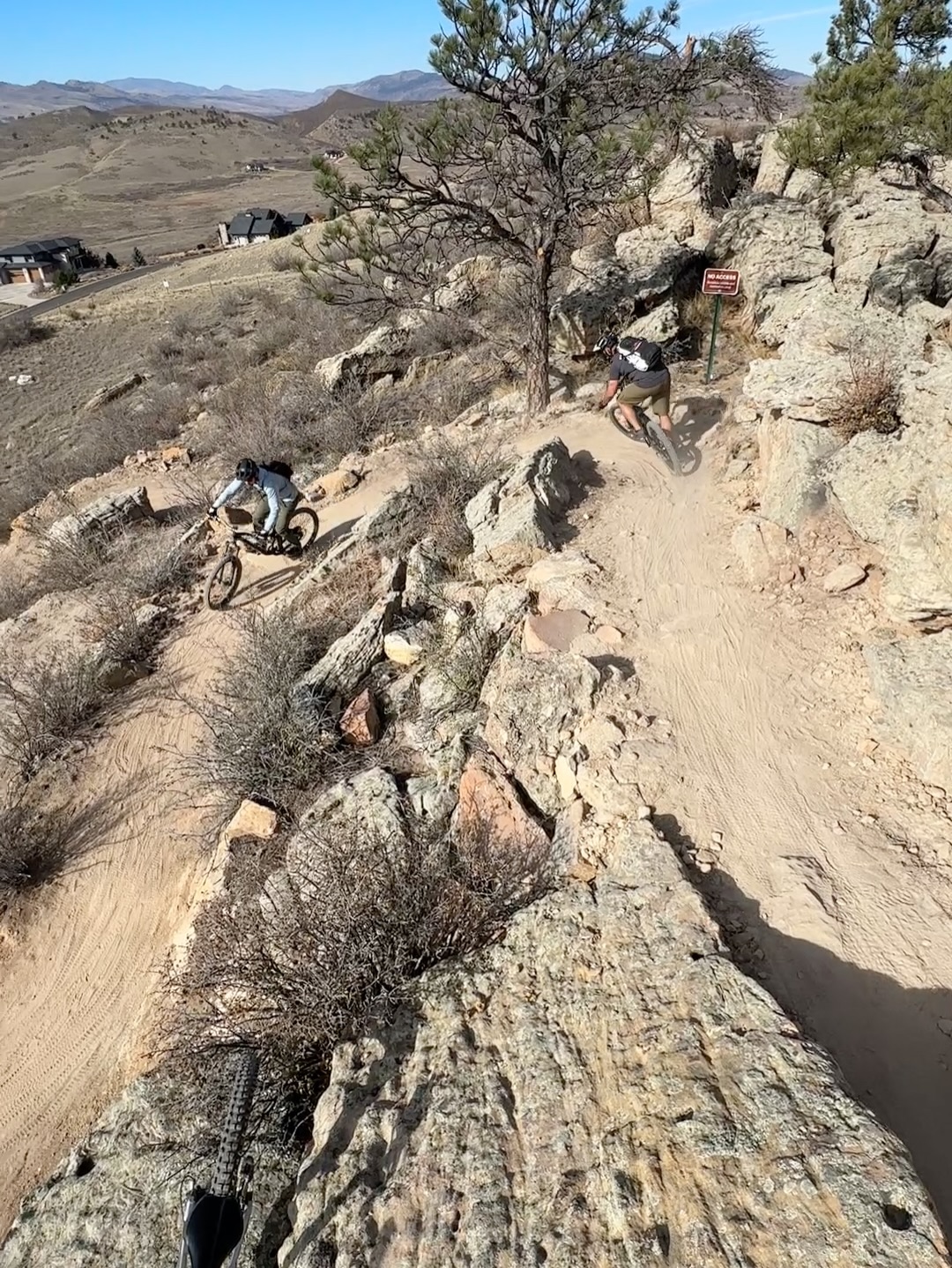
Two natural areas, one trail system
“It’s technically two different natural area properties,” Kenny Bearden, Executive Director of Overland Mountain Bike Association (OMBA), told us. “You’ve got Skyline Natural Area and then Dakota Ridge Natural Area, but it’s fully connected between the two.”
The city of Loveland officially owns the natural spaces and calls the trails the “Dakota-Skyline Trail System.” Bearden made it clear that this was fully a city of Loveland project; however, OMBA is currently talking with the city about partnering to help maintain the newly opened trail system.
That said, OMBA was a significant stakeholder in the planning process, which Bearden said stretched back to 2017 or 2018. OMBA advocated for mountain biking access at the new trails, recommending a series of stacked loops to provide “multiple route options throughout the area.”
OMBA also recommended that Loveland hire a professional trail builder to construct the trails. The city took their advice and hired Outdoor Recreation Designs to build the trails. According to the City of Loveland’s website, construction began in October 2025, and the Dakota-Skyline trails officially opened one year later. The trail system cost Loveland $2.7 million, with the funds coming from “Loveland’s share of the Larimer County Open Space Tax.”
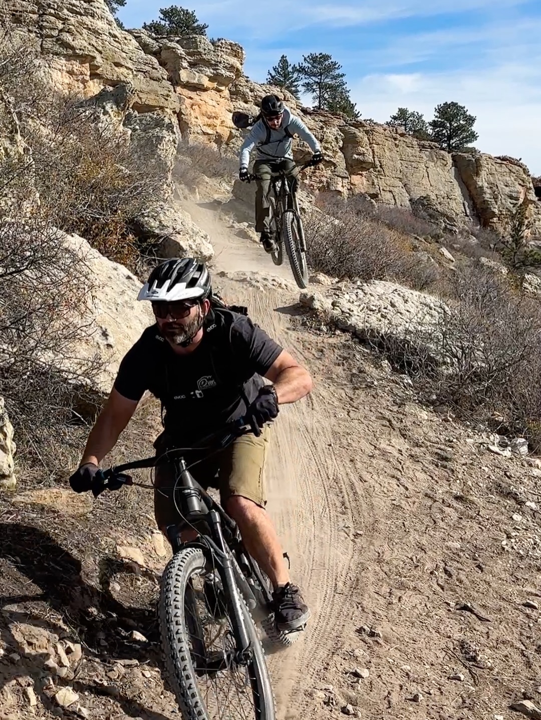
Over 7 miles of needed intermediate trails
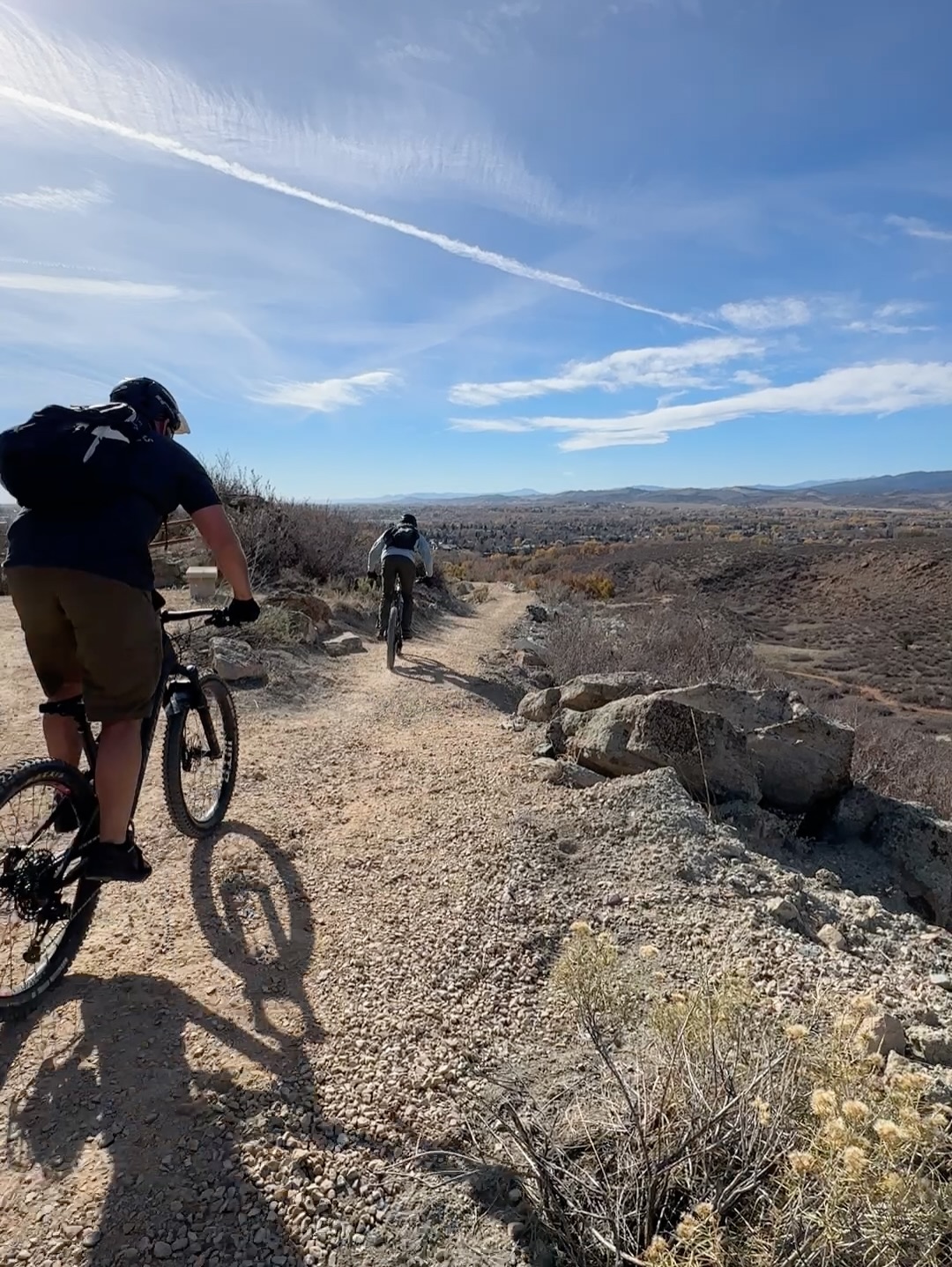
While the Dakota-Skyline Trail System is completely multi-use, some trails are bike-optimized. OMBA’s Outreach Coordinator, Cy Foppe, told us the trail system totals just over 7.5 miles across nine trails. All told, riding the full mileage offers more than 1,100 feet of climbing and descending, and you can reduce the mileage and elevation by choosing smaller loops.
There are three main trailheads — one on the north and south ends of the natural areas, and one roughly in the middle. Four longer trails run roughly north to south between those trailheads, with five shorter trails providing east-west connections.
Pretty much every trail is intermediate. The Dakota-Skyline project not only gave Loveland more trail access, but it also filled some much-needed gaps in the greater Fort Collins area: intermediate-level trails. Both Bearden and Foppe explained that much of the mountain biking there falls into two categories: relatively “flat and smooth green trail,” or “steep and rocky black diamond trail.”
Dakota-Skyline provides a solid bridge for beginners looking to progress. Some options are characterized as “beginner difficult,” while others start looking a bit darker blue.
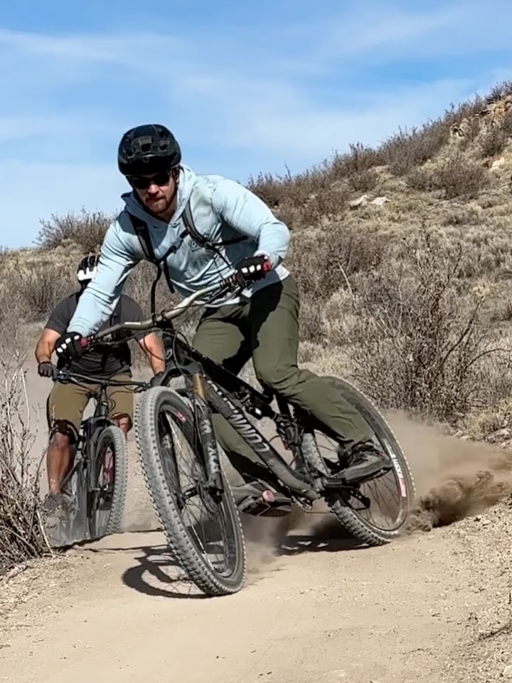
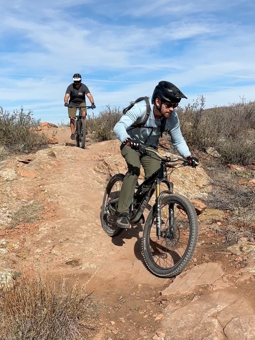
“So [Serpent Trail] is a shorter, more tech trail,” Foppe said. “Actually, it’s the most technical downhill at either natural area. You can tell it’s a bike-optimized trail, with rollers and other features in it. It’s a good gateway to the more technical side of riding.”
Foppe also said the entire system flows well together, which will likely draw riders of all skill levels. Yes, more advanced riders will keep seeking out the more advanced options, and those trails will always be there. However, accessing many of those trails is quite a grind and time commitment. Dakota-Skyline offers a bit of respite on days you’re not looking to push as hard, but still want to get out on two wheels.
Colorado does connections
“So one pretty cool thing about the property is the future potential,” Bearden said. “ There is a housing development going in adjacent to it, and the city of Loveland is working to get a connector from the new system to the Prairie Ridge and Coyote Ridge trail systems.”
Bearden said that if that short connector between Dakota-Skyline and those other trail systems is approved, it will effectively connect over 100 miles of singletrack.
Colorado is damn good at connecting trail systems. Cities like Colorado Springs keep adding mountain biking opportunities alongside better connectivity between trail networks and open spaces. Colorado Springs has multiple open spaces dotted throughout the city, with plans to connect them all in the future.
And the greater Fort Collins area is shaping up to do the same. Bearden told us that the area’s iconic trail systems will eventually form a massive, interconnected web. “It’s going to be all connected to Devil’s Backbone, Horsetooth Mountain Open Space, and Lory State Park,” he said. “And, after [Dakota-Skyline], we’ve got one additional gap we need filled; then that will connect into Pine Ridge and Maxwell Natural Areas, and then with the city of Fort Collins.”
Some of this is currently, or will soon be, connected with paved walking and bike paths, but Bearden said it won’t be long before users are back on natural, dirt singletrack.
“So anywhere in that area from Fort Collins to Loveland,” Bearden continued, “you’d be able to pretty easily hop on a singletrack trail and have access to [a massive] amount of mileage.”
Keep up with the latest mountain bike news by adding Singletracks as a preferred source on Google.







0 Comments