
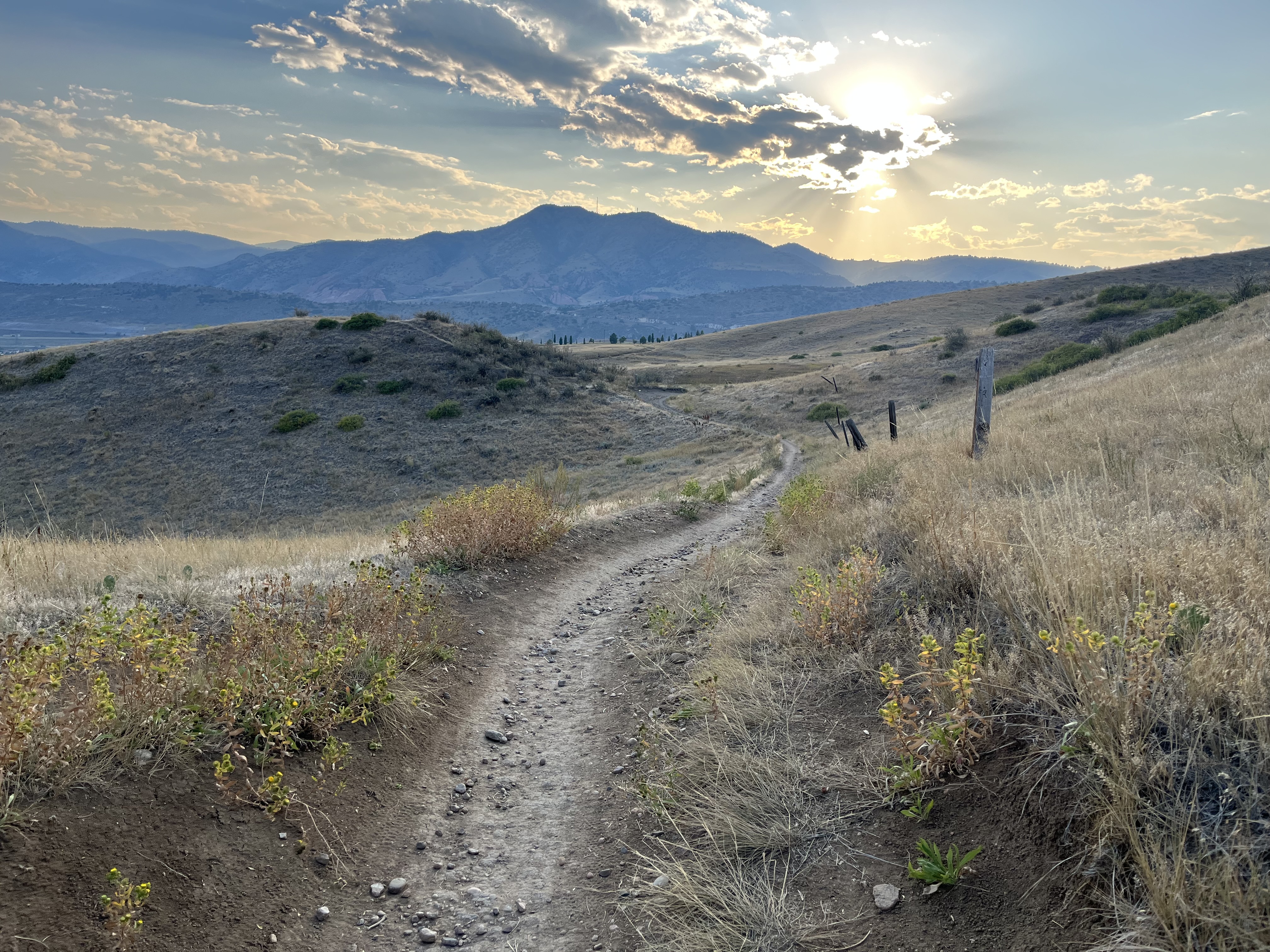
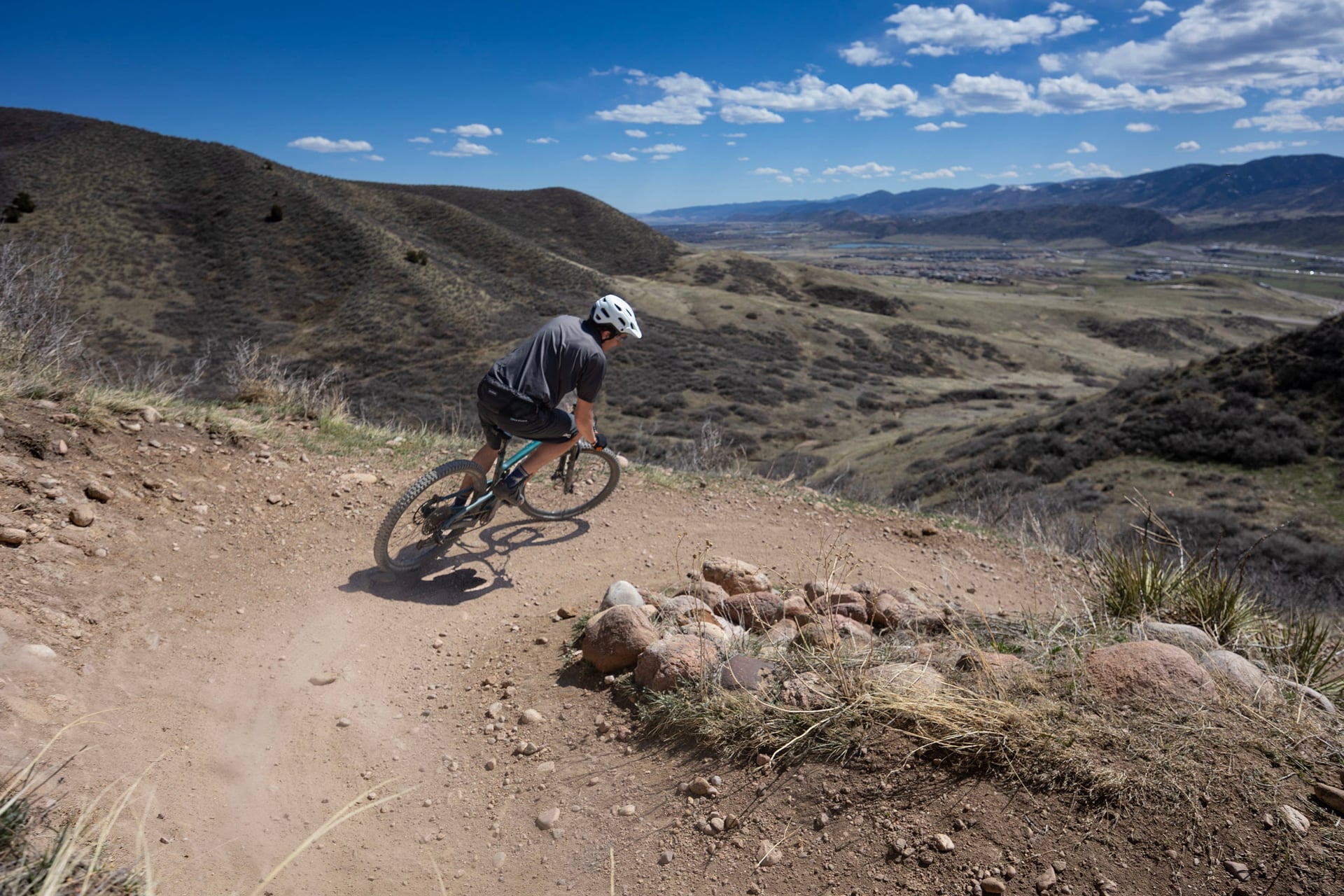
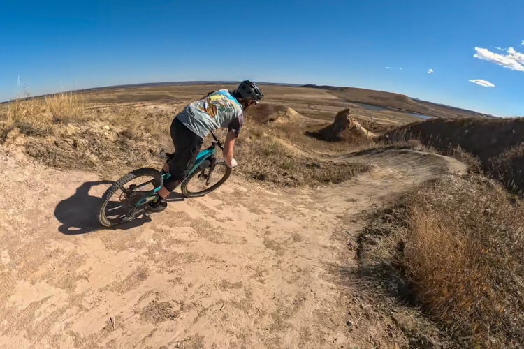
Lakewood, Colorado, just west of Denver, has hundreds of thousands of visitors to its parks each year. While the city boasts 7,400 acres of open space and 240 miles of trails, some can be more crowded than others. William F. Hayden Park on Green Mountain is one such park, with growing safety concerns and more trail-user conflict as use increases. So, Lakewood is proposing “downhill bike zones” to get descending bike traffic off the multiuse Green Mountain network.
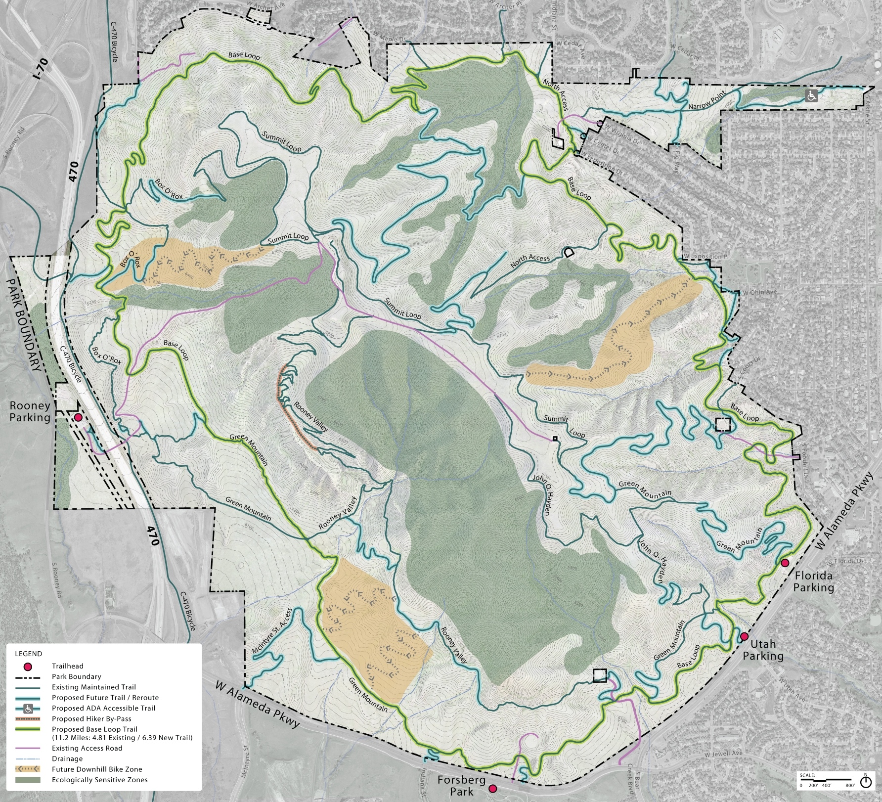
Three “downhill bike zones” are being proposed
In an email to Singletracks, Lakewood Operations Manager Amber Thill confirmed that all current singletrack at Green Mountain is both multi-use and multi-directional. If the proposal is officially approved, the downhill bike zones would be the first user-specific and directional trails at Green Mountain.
“We heard throughout the engagement process that there were concerns and frustration on summit trails between user groups,” Thill said. “We worked with our stakeholder committee and the Lakewood Advisory Commission to research best practices.”
According to maps in the William F. Hayden Draft Plan, the plan proposes three zones for mountain bike descents. The zones are located on both the east and west sides of Green Mountain, as well as the south side. Thill said they are still working on exactly how many trails would be in each of those zones, and that further design depends on the availability of funding at this time. Lakewood plans to work with “community partners on design” when that funding becomes available.
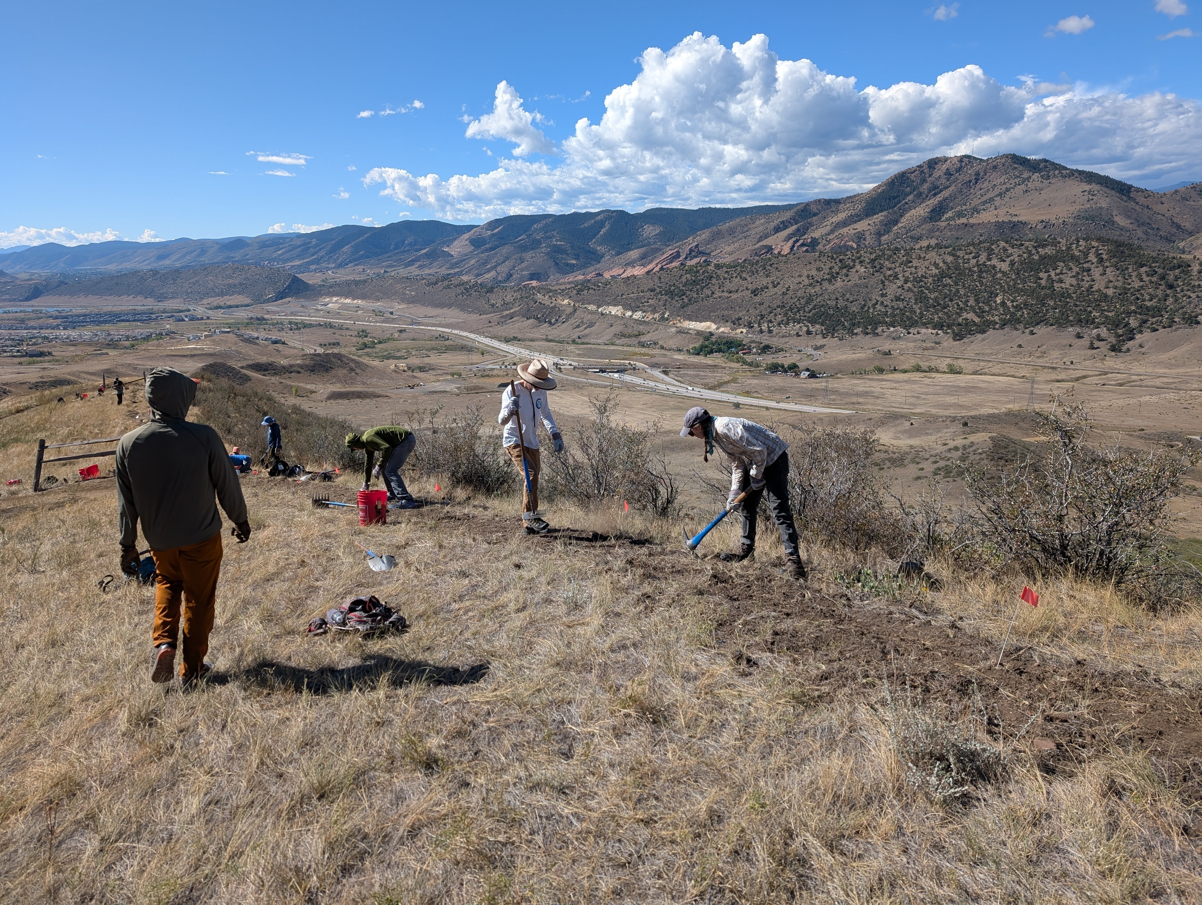
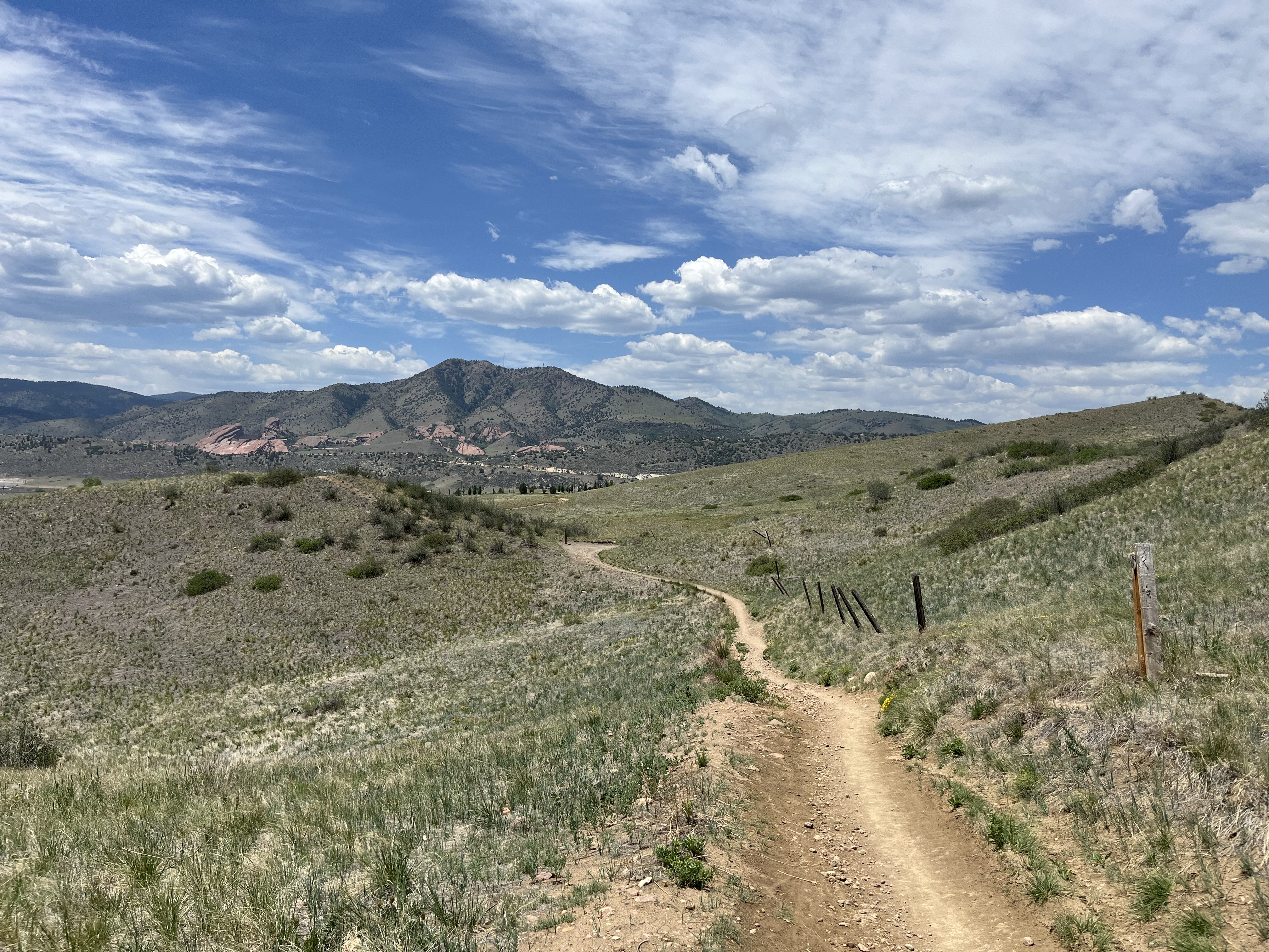
That said, the Draft Plan does state that the “mountain bike trails in these areas are proposed to include bike-optimized features, taking advantage of the natural terrain to create desirable challenge elements where opportunities exist.”
Providing a separate experience for user groups is ultimately one of the Draft Plan’s goals. “Separated use has been established as an effective strategy for preventing user conflicts on congested trails. Spreading different users out, providing them with exclusive routes that are designated for their use, prominently signed as such, can go a long way towards improving this common problem.”
Thill confirmed the proposed separation of user experiences, saying that bikers and hikers could share the trails on the way up. When it is time to descend, bikers can opt for the DH trails.
The plan also notes that these descents typically require more maintenance and carry a higher risk of injury.
Not everyone is sold, though
In the introduction of the Draft Plan, four goals are laid out: protect and restore natural and ecological resources, balance recreation with preservation, enhance recreation opportunities for all users, and improve infrastructure and accessibility. According to survey statistics, the overwhelming majority (92%) of respondents feel the plan strongly or moderately achieves those goals.
Looking specifically at the third goal, which covers adding user-specific trails, over 90% of respondents felt the Draft Plan achieves that goal. The survey reports “strong support to separate trail users,” and that “many respondents supported future downhill bike zones […] and urged that these features should be prioritized and clearly included in the implementation plan.”
But the results also note that some respondents felt the addition of downhill bike zones prioritizes mountain bikers over others. They would also like to see “hiker-only” trails or “equestrian-friendly” trails added to Green Mountain as well to “create a more balanced system.”
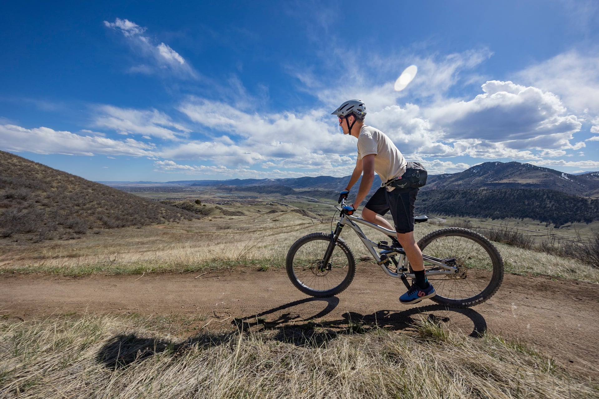
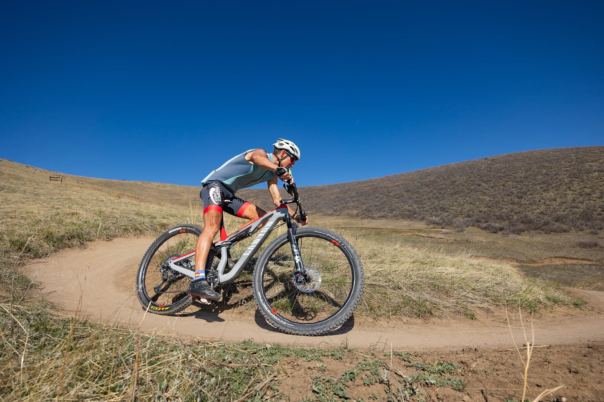
And, according to Thill, there will be. She mentioned a proposed “hiker bypass trail” that will be off-limits to mountain bikers. The hiker bypass trail will run parallel to the four-mile Rooney Valley trail. According to the Draft Plan, Rooney Valley is currently a “bike-optimized” trail, with trail maps indicating an intermediate descent that drops some 1,200 feet from the Green Mountain summit.

Green Mountain’s illegal “social trails” are also playing a role. As with any trail system that has been in a community for decades, social trails are an active part of the network. At Green Mountain, about 14 miles of them exist, and many survey respondents don’t want to see them go away.
According to the survey, “respondents described these trails as essential neighborhood access routes used daily for shorter hikes, exercise, dog walking, and direct summit access.” Several respondents argued that removing the social trails and adding the mountain bike zones shifts the usage of the area away from the broader community to focus on a specific (mountain biking) activity.
An 11-mile loop is also in the works
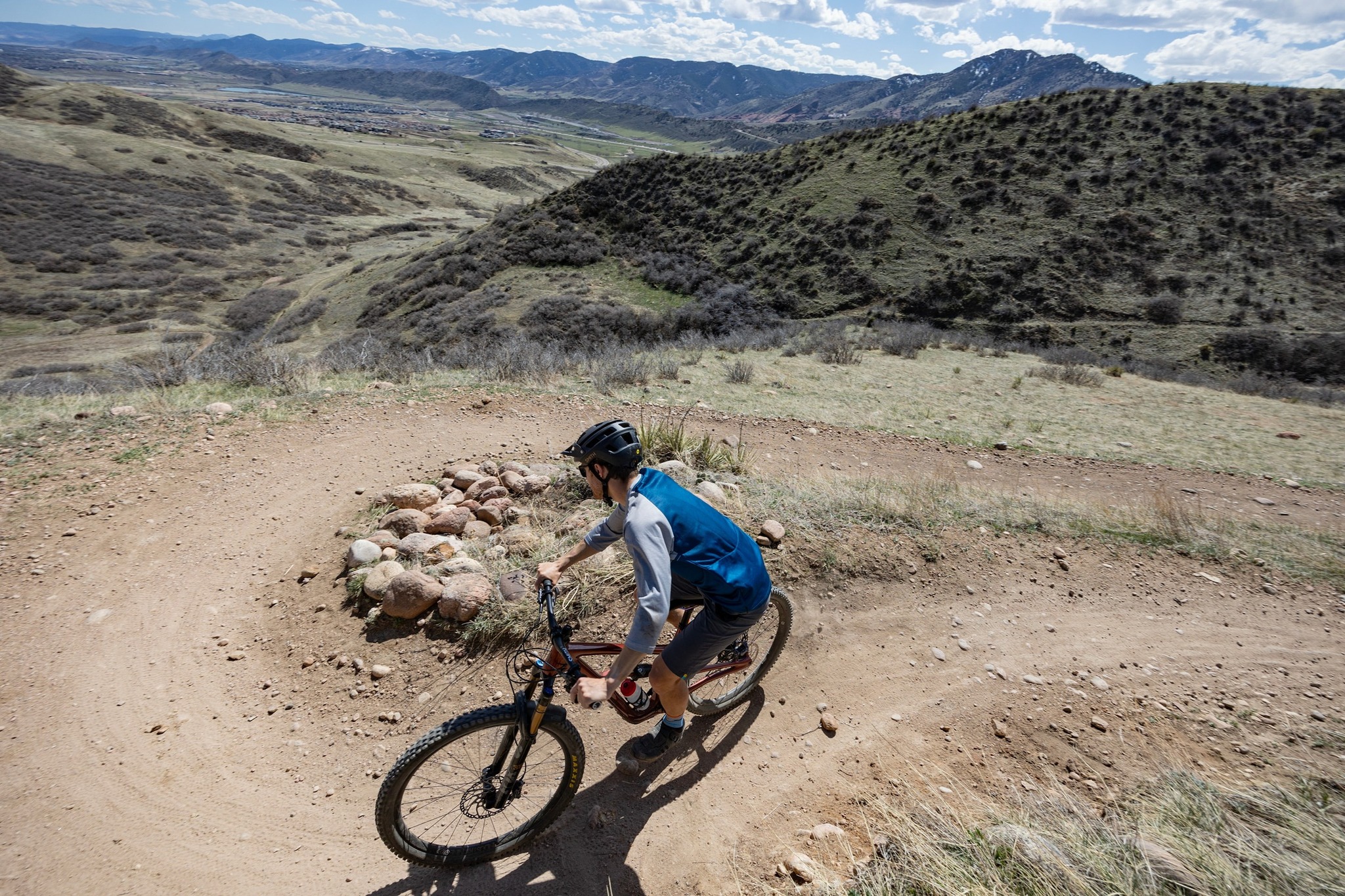
In addition to the DH mountain bike zones, the plan also includes an 11-mile loop around Green Mountain. “The 11-mile base loop trail proposed was highly favored by the community throughout the 20-month planning and community engagement process,” Thill told us.
The loop, which will connect roughly five miles of existing trail and add six miles of new trail, would act as a connector. Thill added that the base loop is intended, in part, to “provide improved access to the mountain for all user groups.”
It will also help spread users out and provide an easier way to return to specific trailheads from a designated route.
Thill said the city is working to finalize the Draft Plan based on community feedback. Once finalized, Thill said it will be presented to the Lakewood City Council later this year. From there, the plan will be the “guiding document to seek partnerships and funding to advance phase one of the plan.”
The news stinks. Why not follow Singletracks on Google News to bring more joy to your day?






0 Comments