
In this blog post I am going to provide you with a step-by-step guide to creating your own custom guidebook for use out on the mountain bike trail using Singletracks.com.
Why create your own guidebook?
But first, why would you want to “create your own guidebook”?
There are at least 3 different reasons:
- There isn’t a guidebook for the area you’re traveling to —believe it or not, sometimes there just isn’t a guidebook for the exact area that you’re planning on visiting. And sometimes if there is, it really isn’t all that great. By doing your own work and creating a custom book via Singletracks, you can ensure that you will have great information when you need it.
- The information in existing guidebooks is old —Many guidebooks out there today are honestly really outdated. Trails have been modified or closed, or more likely there are new and better trails that have been built since the guidebook was last updated. By using the Singletracks.com database, you are getting some of the most up-to-date information available.
- Guidebooks cost money —Why shell out cash for a guidebook that might just be mediocre if you can create your own?
A step-by-step guide to creating your own guidebook:
1. Decide where you want to travel.
Sometimes this can be the hardest part. To get started, consult the list of the best mountain bike trails in the world.

Or, use the Google map and browse through different areas of the nation.

This process can be used for anywhere that Singletracks has trails listed. For the rest of this example, I am going to use Crested Butte, Colorado since that is where I am traveling next week now.
2. Hone in on the trails in your specific area.
Next, you want to limit the trails you are looking at to those in a specific region. If you’ve found one amazing trail and you want to explore nearby trails while you are in the area, click on the name of the city.

This will bring up a list of all the trails that have been marked as being in or near that same city.

Alternatively, if you know exactly what city you are wanting to visit, just type the city and state into the search box at the top of any page and it should pop up.
3. Broaden the area, if needed.
Are there not enough trails listed for that specific town? Hit the button that says “Trails Near _____” and the list will be enlarged to show trails in the surrounding area.

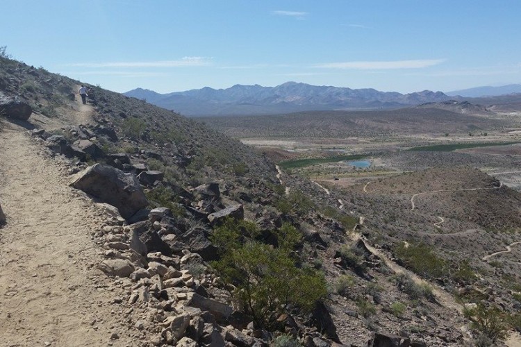
A few trails near Crested Butte:

You can further broaden or restrict the area using the drop down distance menu. [Note: these distances are given “as the crow flies” and may not reflect actual driving/riding distances.]

4. Read about the trails.
It’s a good idea even if you are using a published guidebook to research the trails before you visit so that you have an idea of exactly what you’d like to ride. When you do this on Singletracks, you can also decide which trails you’d like to include in your custom guidebook, and which you wouldn’t. Of course. you could just go ahead and include every trail in the region if you’d like!

5. Print the trail.
To do so, click “More Actions,” then click “Print Trail.”

This will bring up a printable view of the trail.

Then just click “File” and then “Print,” or just press APPLE P or CTRL P to print the page.
6. Print the trail map.
To print the trail map (if available), you have to have a paid account. This is just one more reason to sign up! For only about $20 a year (the price of one decent guidebook), you get access to the thousands of trail maps available on Singletracks.com. It’s crazy cheap!
To do this, click on the “View Trail Map” link.

Then, click and drag the trail map to the tabs bar to open it by itself. (There are other ways to do this.)
Then just click “File” and then “Print,” or just press APPLE P or CTRL P to print the page.
7. Print the elevation profile, if desired.
Go back to the previous main trail map page.
Then, click and drag the elevation profile to the tabs bar to open it by itself. (There are other ways to do this.)

Then just click “File” and then “Print,” or just press APPLE P or CTRL P to print the page.
[Editor’s note: each map page also has a “Printer-friendly” function that fits the map, elevation profile, and route notes on a single page.]
8. Repeat steps 5, 6, and 7 for as many trails as you want to include in your custom guidebook.
Use your printer at work or school to make quick work of all of these trails, and to save some money!
9. Staple.
The finished product:

10. Ride!


8 Comments
Aug 4, 2011
1. In addition to the topo map images, most trails on singletracks also have a PDF map available. These are much higher res and look even better when printed.
2. If you have a smart phone with a web browser you can use m.singletracks.com to carry the entire singletracks trail catalog in your pocket! Ok, so you do need to have a cell signal but still. We're working on a new version of the mobile site and along with that we'll be launching an iPhone app and - wait for it - an Android version as well!
Aug 5, 2011
We'll be moving in about a year, I'll definitely have to remember to make a guidebook before once we figure out where we're going.
Aug 5, 2011
Sometimes it is better to lean on the map for getting you there than the GPS.
Then when we find a great trail...we upload it here for the flowy type non explorers!
Aug 4, 2011
Aug 4, 2011
Aug 4, 2011
Aug 4, 2011
Aug 7, 2011
Also, I have to admit that I would almost always rather navigate with a good, tangible map in my hands. But as I found out this past week, even the best maps aren't always accurate....
Now if I had a smart phone, maybe i'd be set!!