
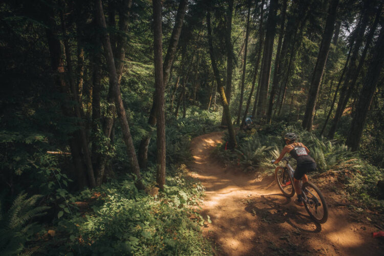
Some of the most popular trails in the Arapahoe and Roosevelt National Forests around Winter Park, Colorado are now closed due to the spread of the Williams Fork fire. The Forest Service sent out an update on the afternoon of September 27 explaining the details.
“A wind event yesterday over Keyser Ridge pushed the Williams Fork Fire east across Richey Creek into Upson Creek. The fire grew about 300 acres in that area and is now approximately 1.5 miles southwest of Lake Evelyn (FSR 136) and Keyser Creek (FSR 139) roads.”
At the time of this update, the Forest Service estimated the coverage of the fire at about 13,000 acres with 14% of it contained. The same winds that helped spread the fire also grounded aircraft.
The Forest Service doesn’t expect a break in the fire, with low humidity and dry temperatures. “A season-ending weather event is needed to put this fire out.”
Because of the fire’s growth, the Forest Service has restricted access in the area to recreation, including many of Winter Park’s popular mountain bike trails. Here is a full list of the affected areas:
AREAS, ROADS, AND TRAILS DESCRIBED:
National Forest System Roads: 111.1, 133, 133.2H, 133.2A, 134.1, 134.1A, 134.1B, 136, 136.1A, 137, 138, 138.1B, 138.1C, 138.1F, 138.1G, 138.2, 138.2A, 138.2B, 139, 139.3, 139.2A, 140, 140.3, 141.1, 142.1, 144, 144.1, 148, 155, 157, 158, 158.3, 159, 160, 160.1A, 160.2B, 162, 163, 164, 259, 260.1, 867.1, 867.2, 868.1, 878.1, 878.2, 879.1, 880.1, 882, 883, 886.2, 891.2, 892, 893, 894.1D, 894.2D, and 897
National Forest System Trails: N12 (Byers Peak), N13 (Mt. Nystrom), N13.1 (Stanley CDT Spur), N14 (St. Louis Lake), N14.1 (St. Louis Pass), N15 (Lake Evelyn), N16 (Bottle Pass), N16.1 (Bottle Peak), N17.1 (B & B), N17 (St. Louis Divide), N18 (Darling Creek), N19 (Keyser Ridge), N21 (South Fork), N21.1 (South Fork Spur), N22 (Kinney Creek), N23 (Horseshoe Lake), N61 (Creekside), N61.1 (Creekside Loop), N62 (Williams Fork Boardwalk), N63 (Backscratch), N65 (East Elk Creek), N68 (Tipperary Creek), N72 (D2), N73 (D3), N74 (D4), N74.1 (Leap Frog), N74.2 (Take D’ Leap), N81 (Chainsaw), N81.1 (Iko), N82 (Flume), N83 (Zoom), N83.1 (Broken Spade), N86 (Blue Sky), N90 (Twin Bridges), N96 (Jones Pass), N101 (Vasquez Pass), M64 (Elk Meadow), M66 (WTB), M67 (Elk Creek Loop), M80 (Upper Elk Creek), M84 (Sunken Bridges), M140 (Keyser Ridge Loop), M141 (Elk Wallow), M142 (K&K Connection), M144 (Butler Gulch), M145 (Richey), and M146 (No‐See‐Um)
Trailheads: Lower Creekside, St. Louis Creek, Leland Creek, St. Louis Lake, Byers Peak, Deadhorse, South Fork, Williams Fork, Darling Creek, Ute Peak, Lake Evelyn, Kinney Creek, Vasquez Peak, Keyser Ridge, Jones Pass, Elk Meadows, Mt. Nystrom, Boardwalk, and Twin Bridges
Campgrounds: South Fork, Sugarloaf, Horseshoe, and St. Louis Creek
See the Forest Service website for the latest information.


0 Comments