×

|
Rate it:
Tags:
Level: Advanced
Length: 17 mi (27.4 km)
Surface: Singletrack
Configuration: Network
Elevation: -
Total: 25 riders
Mountain Biking Wrentham State Forest
#42 of 223 mountain bike trails in Massachusetts
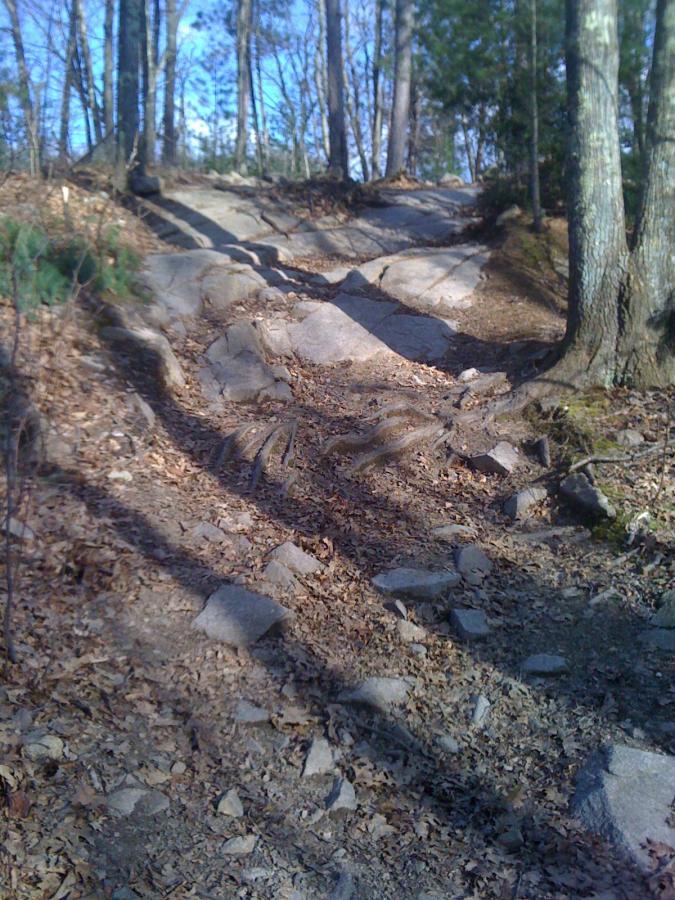
Very rocky area, not too much elevation, but there are short steep inclines to be
had. The area is packed with trails, from fire road to singletrack. Most trails are
motorcycle trails. Lots of burms and whoop-de-doos. Plenty to explore.
First added by eastwood on Mar 30, 2011. Last updated Apr 28, 2020. → add an update
Before you go
- Drinking water: unknown
- Lift service: unknown
- Night riding: unknown
- Pump track: unknown
- Restrooms: unknown
- Fat bike grooming: unknown
- E-bikes allowed: unknown
- Fee required: unknown
This trail information is user-generated. Help improve this information by suggesting a correction.
Parking lot and trailhead are on Taunton Street, which bisects the forest. From
495/Rt1 intersection head south, take a right on Taunton St (Rt 152). Parking lot
will be on your left after you pass over 495.


Rocky, packed where recent rain occurred, not much shade due to caterpillars. Quiet right now. Signs still up about wires across the trail. I am on north side of Taunton Str. I did not ride through culvert. due to water level.
| ThankWow this place can be challenging. I explored the section behind the parking lot and was greeted by rocks galore! Slow goings at first as I traveled parallel to 495. Once I ran into Rt 1 I explored deeper into the forest and found some sweet motorcycle trails complete with burms. Rocky terrain keeps the speeds down for the most part. Some short, steep, rocky climbs pop up but not too much elevation changes as you get into the forest. Great place to challenge yourself technically. And so much more to explore!! (cross Taunton from the parking lot for much more riding, and you can cross under 495 through a drainage culvert for even more riding).
There was a lot of blow down. I moved what I came across but it was a lot of stop and go for a while.
| Thank