From the parking area, pedal away from 198th Avenue, up a dirt road known as the Main Access Road. At 0.2 miles, pass around a gate. Almost immediately, reach a 4-way and turn left onto a wide trail known as Elevator. Right away it narrows and ascends steeply. Stay on the main trail as you climb, ignoring two trails on the right. The trail crests and seems to end at a dirt road, 0.8 mile. Across the road on the right, though, the trail continues. From here, the trail, known as Route 66, winds then drops. Pass straight through a 4-way at 1.0 mile. At 1.2 miles, reach a T and turn left. At 1.4 miles, reach another T and turn right. Descend and then wind around a swale of low brush that contains the hulk of a white truck. Arrive at a T at 1.8 miles, and turn left. The trail ends at 198th Avenue at 1.9 miles - turn right and ride alongside the paved road.
At 2.1 miles, find a singletrack that exits the road on the right and take it. The trail winds and twists. Ride straight through a 4-way at 2.4 miles. When the trail divides, 2.7 miles, stay to the right. Pedal straight through another 4-way at 2.9 miles. Reach a gravel road at 3.2 miles - hop on the slightly technical singletrack that continues on the opposite side. When the trail forks, bear right. Reach a T at a narrow road, 3.3 miles, and go right, descending. At 3.6 miles, reach a T and turn right. The narrow road forks at 3.7 miles - bear left. At 3.8 miles, immediately before reaching a T, turn right on a singletrack. Whoa - this is an easy turn to miss.
The trail, narrow and winding, heads north and is at times brushy and overgrown, as blackberry vines lunge at unprotected skin and spiders, web and all, catch rides on the first bike through. After some good pedaling unmolested by a dividing trail, you\'ll reach a wide dirt road, 4.3 miles. The singletrack begins again on the opposite side of the road after a short jog to the right. At 4.4 miles, ride straight through a 4-way. Stay on the main trail, known as Mustang, as it sweeps back and forth, in and out of the trees, then finally out again. Ignore a trail back on the right at 5.5 miles. Just beyond, the trail splits again and this time bear right.
From here, still out in the open of a clearcut, the singletrack gradually widens. Reach a 4-way of dirt roads at 5.7 miles and proceed straight ahead. At 5.9 miles, arrive at a complicated 4-way intersection at a major gravel road - turn right onto the wide gravel road, ignoring the lesser cut-off road immediately prior on your right. Ride toward a conspicuous stand of trees about one quarter-mile ahead. When the road forks at 6.0 miles, bear right. Ignore a lesser road on the left at 6.1 miles. Bear left at the fork at 6.2 miles. Just when you\'ve had enough of the road riding, find a singletrack on the right, 6.4 miles, that enters that conspicuous stand of trees. This trail is called Cut Your Bars, although after years of use it\'s not quite that technical anymore.
At 6.7 miles, the trail pops out at a 4-way (three roads, plus your trail). Turn right on the road. When the road forks at 6.9 miles, go left on a narrow dirt road. Ignore a tasty looking singletrack on the right at 7.0 miles. But at 7.1 miles, find another singletrack and turn right. This small area, often referred to as Snickers, bound by the narrow road behind and the Access Road ahead, contains a maze of fun, zippy trails - and a few tours through the maze are well worth your while. At 7.2 miles, reach a fork and bear left. At 7.3 miles, reach a fork and go right. Bear right again at the next fork, then drop down to reach Access Road at 7.5 miles, then turn left. When you arrive at the 4-way, 7.6 miles, you\'ve connected the loop. Go straight through the 4-way, around the gate, and glide back to the parking area at the Christmas tree farm, 7.8 miles.
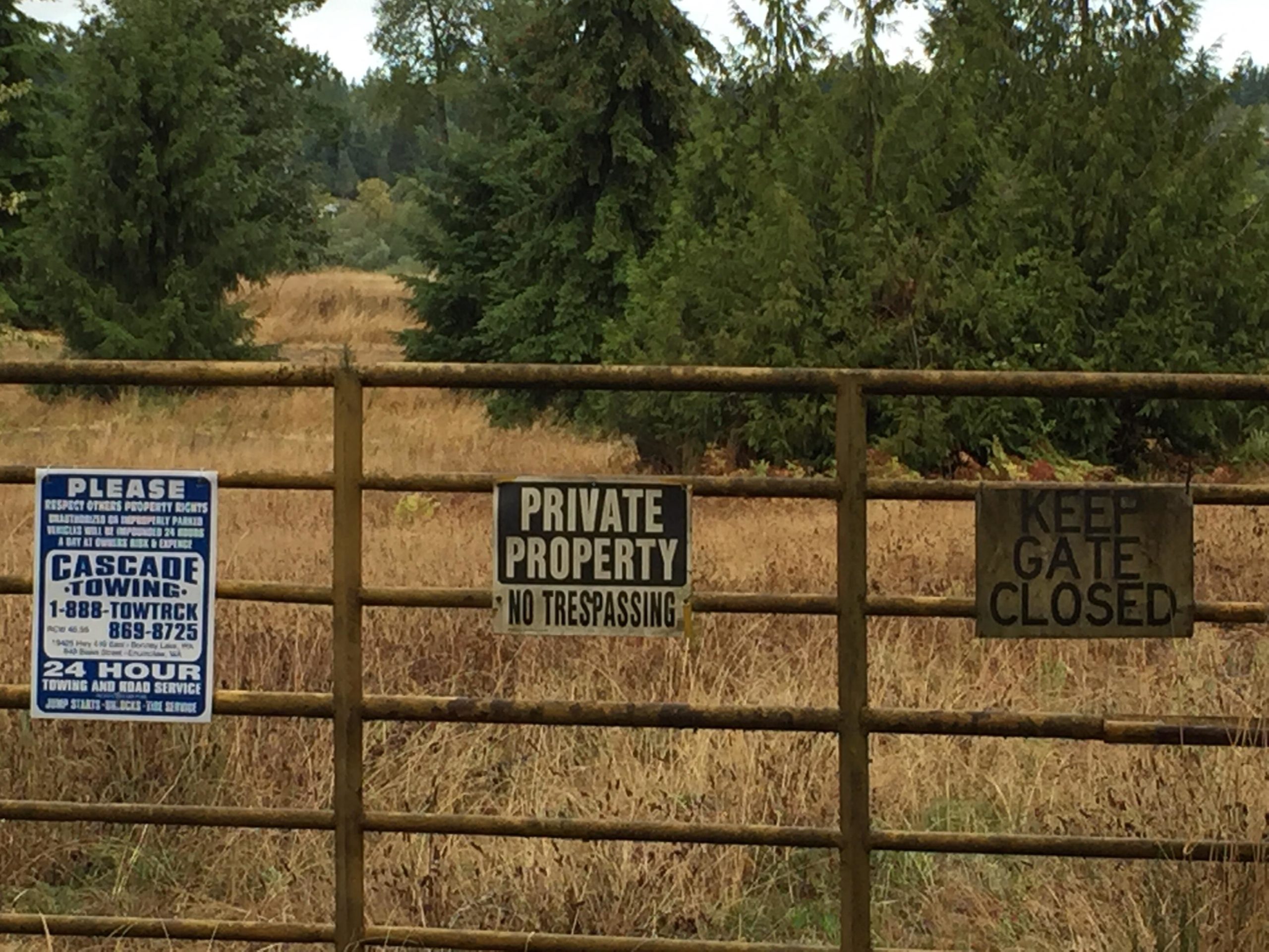
Directions: From Bellevue, take Interstate 405 south to Exit 2 in Tukwila. Then head south on Highway 167 toward Puyallup. Take the Highway 410 Exit toward Yakima, and drive east just over 5.5 miles to Bonney Lake. Turn right on South Prairie Road E., and set your odometer to zero. At 1.5 miles, turn right on 214th Avenue E. At 2.4 miles, turn right on 120th Street E. Reach a T at 3.2 miles, and turn left onto 198th Avenue E. At 3.7 miles, find Hillside Farms Christmas Trees on the right. Show some mountain bike courtesy: Don\'t litter or relieve yourself in the parking lot.


10 miles of trais might be a stretch, but maybe 7 miles now at VF. Me and riders in Tehaleh (the new developement) have been clearing existing old trails behind the tree farm. Slow process, but more will be opening up all the time.
| ThankTrail is no longer there. Area has been developed.
| ThankRoad on the opposite side of the tree farm and it's mostly dirt bike trails but nothing to technical! The good part is its sand and rock so it isn't muddy in the wet season. Sad to have lost all the good trails and single trackðŸ˜
| ThankVictor Falls was an amazing place when it was open.
| ThankToo bad, because the land ownership has declared bankruptcy and construction never really got going in the first place, should have been designated as open space-park.