×

|
Rate it:
Tags:
Level: Beginner
Length: 12 mi (19.3 km)
Surface: Other
Configuration: Network
Elevation: +695/ -616 ft
Total: 21 riders
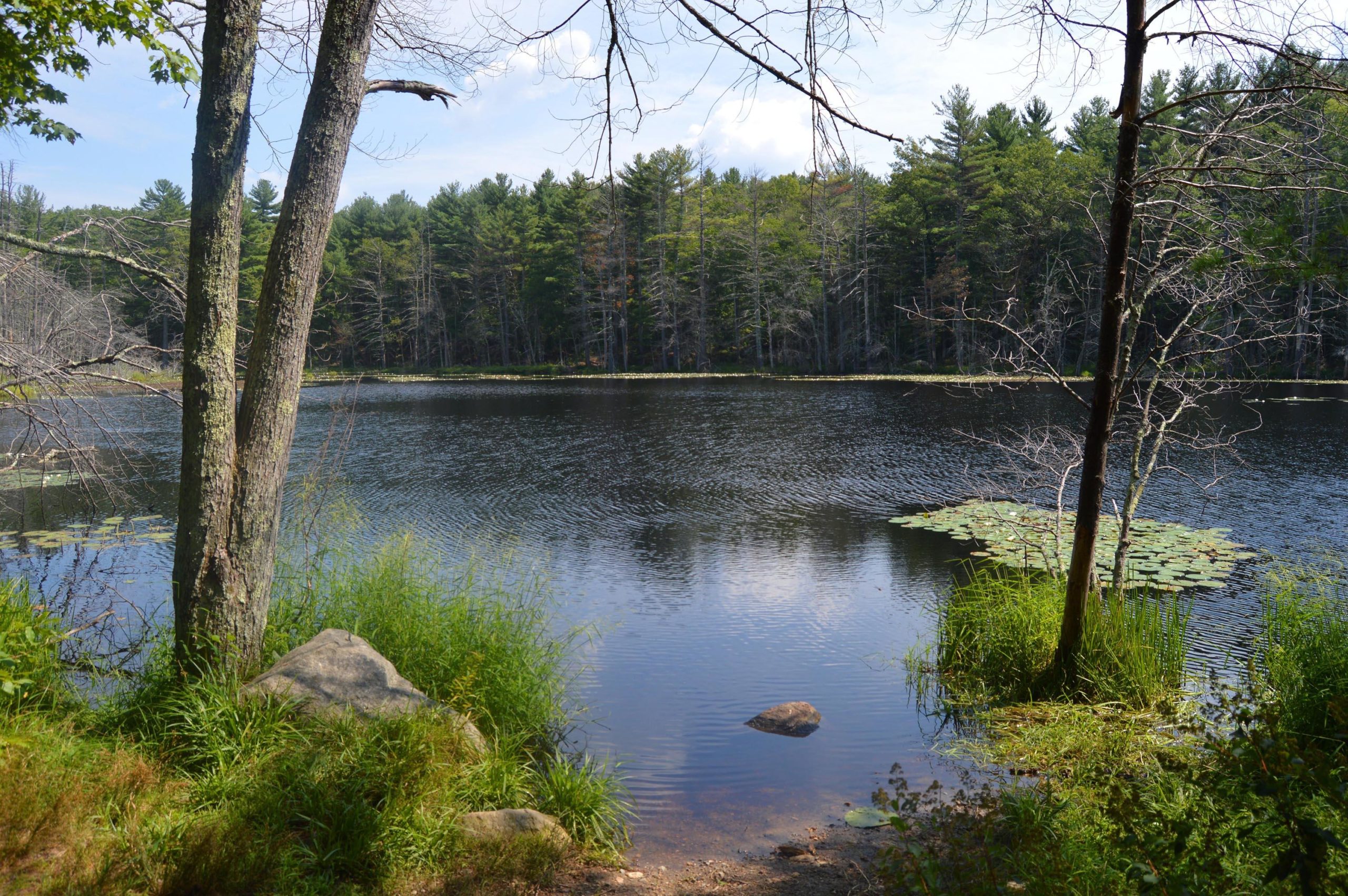
Mountain Biking Upton State Forest
#73 of 223 mountain bike trails in Massachusetts
Only rode there once. Overall loop of dirt road with some single and double track off that. I only explored north side, Rabbit Run area was pretty fun. Not much for features or stunts if that's your thing. Lots of pines and needles on trails sapped your speed frequently.
First added by PK1 on Jun 26, 2011. Last updated May 9, 2020. → add an update
Before you go
- Drinking water: unknown
- Lift service: unknown
- Night riding: unknown
- Pump track: unknown
- Restrooms: unknown
- Fat bike grooming: unknown
- E-bikes allowed: unknown
- Fee required: unknown
This trail information is user-generated. Help improve this information by suggesting a correction.
From 495: Take exit 21B to Upton. Follow for about 5 minutes. Turn right onto Westboro Rd (Pratt Pond will be on your left). Follow for about a mile and a half or so and Upton SF will be on your right.


Been riding the trails in Upton Park for three years. It has a nice combination of double tracks and single a bit more technical trails. Mammoth Rock and Whistling Cave trails are not to be missed.
| ThankI've ridden every trail here, some fun singletrack (Rabbit Run) but overall nothing special.
| ThankUpton (also called Up-Up SF) is basically a navigatable section of singletrack that climbs up one hill and rewards you with a fun and slightly techy descent. Just wash, rinse and repeat a whole bunch of times. Great spot to build up endurance for longer climbs, which aren't too common in central MA, and the roots and rocks will keep you on your toes. Looking forward to getting back.
| ThankRode Upton State Forest over the weekend. Second ride of the season and on the new bike so it was a good mix of dirt roads, double and single track. Conditions were reasonable with a few wet spots. Rode up Park Rd which is quick climb to one of the higher spots in the Park. Then took Nuthatch which provided some single track with a few challenging climbs and drops. Came out of Nuthatch fairly South on Park Rd. Took that over to Dean Rd then Loop Rd to the Whitehall Rd. Whitehall ends at private property so you need to go up Grouse Trail. Grouse is a single track with a really steep ascend that I had to walk up but after the initial steep there were some fun sections. Overall the Park is an enjoyable ride with enough challenging sections to keep it interesting. This early in the season there were not a lot of folks on the trails. Looking forward to exploring some of the unmapped single track and the loop to the North and towards Whitehall.
| Thankgreat double and single track area that is seemingly endless. I've been riding here for three years now since it is just minutes from my house and still feel that I havn't explored everything. There is a map at the parking area and that only shows about 1/3 of the trails that are there. Don't be shy to ride and take some random single tracks to.
There are trails for beginners and advanced although no jumps if thats what your looking for only natural beauty
| ThankDecent riding here, doubletrack and singletrack mix. There is the availability of extending your rides outside of the Forest (adding Whitehall for example). Not a ton of traffic out there, but did come across both hikers and horses, so just keep an eye out rounding corners with speed.
| Thank