×

|
Rate it:
Tags:
Level: Intermediate
Length: 16 mi (25.7 km)
Surface: 4x4 Trail
Configuration: Out & Back
Elevation: +80/ -80 ft
Total: 8 riders
Mountain Biking Twizel River Trail
#163 of 387 mountain bike trails in New Zealand
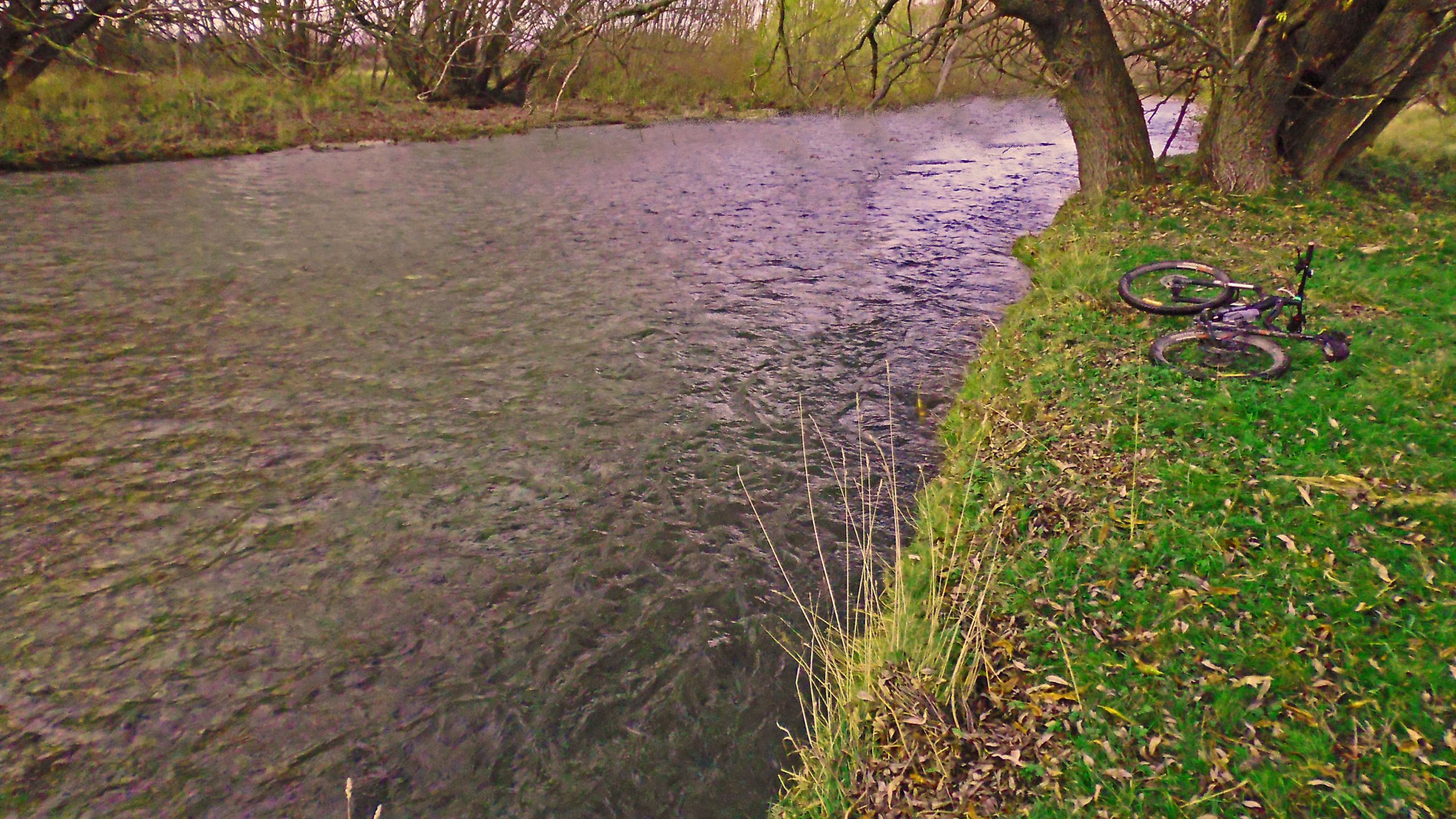
The Twizel River Track is a fairly easy "family-fun-scenic" style of ride. It's great on a hot summer day with plenty of places for a swim or a spot of fishing.
After 12km, with Lake Benmore in full view up ahead, you can turn back or take the stony four wheel drive track up beside the Ohau River for a 26km loop.
Either way back gives you great views of the majestic peaks of the Southern Alps up ahead.
First added by Jim Cummings on May 22, 2015. Last updated Apr 24, 2020. → add an update
Before you go
- Drinking water: unknown
- Lift service: unknown
- Night riding: unknown
- Pump track: unknown
- Restrooms: unknown
- Fat bike grooming: yes
- E-bikes allowed: unknown
- Fee required: unknown
This trail information is user-generated. Help improve this information by suggesting a correction.
From Twizel go out onto highway 8, turn left and you'll see the car park on your right in less than 100 metres.


Loading reviews...View more