×

|
Rate it:
Tags:
Level: Advanced
Length: 7 mi (11.3 km)
Surface: Singletrack
Configuration: Out & Back
Elevation: +132/ -0 ft
Total: 15 riders
Mountain Biking Ranch Trail 62
#139 of 436 mountain bike trails in Arizona
A climber's delight, this trail has stunning views of Prescott and features in the valley. All singletrack, lots of manzanita and scrub oak, with both exposed climbs and forest. For a longer ride, riders can take trail 9854 to 299. Ranch 62 contains about 1200 ft of vertical gain.
First added by TMWJR777 on Apr 29, 2009. Last updated May 7, 2020. → add an update
Before you go
- Drinking water: unknown
- Lift service: unknown
- Night riding: unknown
- Pump track: unknown
- Restrooms: yes
- Fat bike grooming: unknown
- E-bikes allowed: unknown
- Fee required: unknown
This trail information is user-generated. Help improve this information by suggesting a correction.
Travel east on Hwy 69 to Walker Road. Turn right and travel 0.6 miles to the trailhead on the right. The trailhead is signed. There is a large parking area for 12 vehicles on the south side and up to 10 horse trailers on the north side. There is also a place for free parking if you want to begin at the SW trailhead on Senator Hwy.


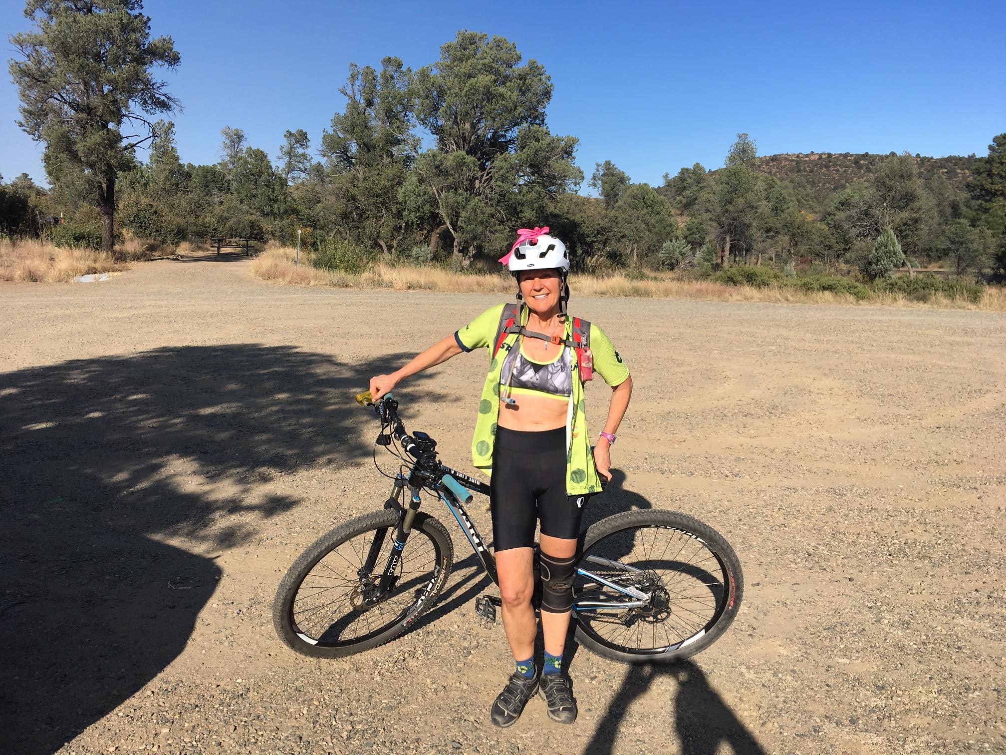

I have to say first off that I didn't get very far on this trail. My husband is a newbie with very little lung capacity and it nearly killed him. I'm used to riding lots of elevation gain in So Cal, so I liked it. It's not for a beginner that isn't used to climbing. He went 1.5 miles and turned around. I wanted to get in at least 2, so that's as far as I got, but there were nice views, and I took some good pics. I felt very comfortable on the trail; some loose rocks, but no big deal.
| ThankTrail is not techicnal has for rough riding. Just has some good climbs. The decents have a nice flow to them.
| ThankGorgeous views and some tech.
| ThankTrail 62 itself is mostly loose with ok sections of singletrack. Instead of turning around at the top of the watershed 299 trail, continue up Spruce Mtn RD and jump on Smith Ravine 297 trail. Might as well reward yourself with sick singletrack rather than loose moto'd out baby heads...
| ThankI recommend iron lungs and a full suspension bike. Certain parts of the trail are almost impassable. Lots of logs on the trail, killing your uphill momentum.
| Thank