×

|
Rate it:
Tags:
Level: Intermediate
Length: 9 mi (14.5 km)
Surface: Singletrack
Configuration: Loop
Elevation: +558/ -600 ft
Total: 29 riders
Mountain Biking Toll Canyon
#25 of 272 mountain bike trails in Montana
Start with an extended climb at a moderate grade for a few miles. Be sure to take the short spurs to lookouts, first on the right, then on the left. Once back on the main trail, you'll top out and have some great singletrack. Then you get a super descent, complete with switchbacks, back to the highway. Then it's a gradual three mile climb back to the summit of the pass. Combine this with the Beaver Ponds loop for a great, 15 mile figure eight.
First added by John Fisch on Oct 10, 2007. Last updated May 4, 2020. → add an update
Before you go
- Drinking water: unknown
- Lift service: unknown
- Night riding: unknown
- Pump track: unknown
- Restrooms: unknown
- Fat bike grooming: unknown
- E-bikes allowed: unknown
- Fee required: unknown
This trail information is user-generated. Help improve this information by suggesting a correction.
Follow highhway 2 south of Butte to the summit of Pipestone Pass. Look for the parking area on the right just before the summit of the pass.


Some good climbing that made the uphill portions fun. Great views of Butte. Like a roller coaster ride on the ways down. A little exposure on some loose dirt, but was a thrill to ride! A nice creek at the bottom to stop and cool off at.
| ThankThis trail begins at the pipestone trail head. There is NO mention of Toll Canyon trail at this trail head. Take the CDT trail in the middle up the easy slope this will become some easy switchbacks and rolly uphill for about 3 miles. At the three mile (ish) mark you come to an intersection. If you go straight the trail becomes Toll Canyon trail and begins a hair raising downhill, turn right and the CDT trail will take you to highland CDT trail. Be careful on the Toll Canyon downhill lots of loose sand and rocks in some spots, tight switchbacks. Lots of trees across the trail when I rode 13 June 16, still early in the season.
| ThankIt was a little confusing where to start but we parked at the Pipestone Pass trailhead (hwy 2). We came from Whitehall direction so this is about a mile before the Beaver Pond trailhead. At the 1st fork in the trail there is clear signage indicating the direction for Toll Canyon trail & Lime Kiln (4 miles). If you are short of time, going out to Lime Kiln & back would give you some very fun, flowy downhill on the way back.
Anyway, at the bottom if Toll Canyon when we were preparing to bike back up Hwy 2 to trailhead, we took the old railroad bed so we didnt have to ride on the highway. When on the gravel road this is a left turn before going down the last section of hill to meet the highway.
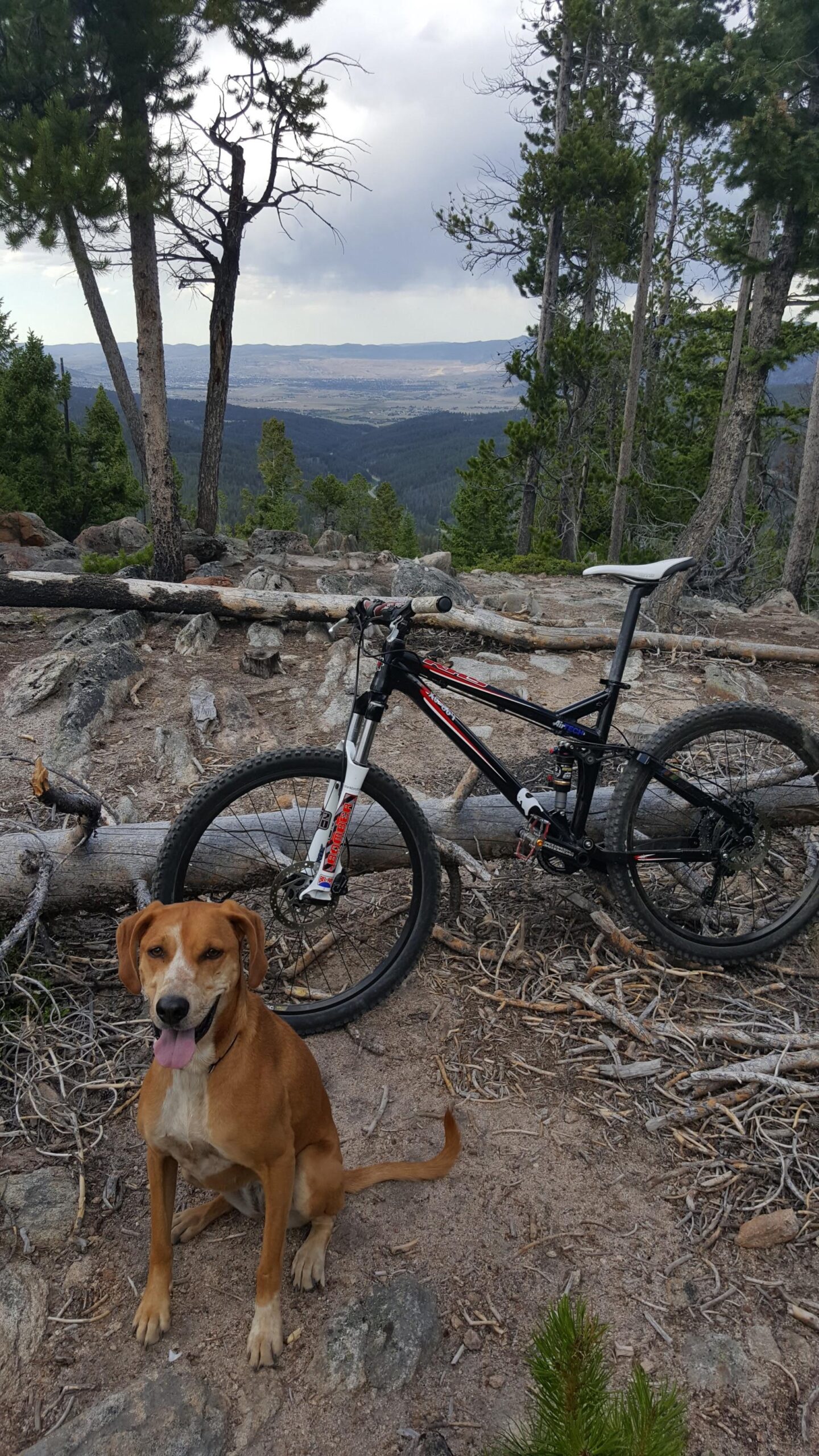
| ThankThis ride really reminded me of riding in Colorado--the singletrack, forest and views look like most any ride in the Colorado Front Range. Maybe that's why I didn't dig it as much as others as it looked like so many other rides I'd already done in my home state. It is great trail with a lot going for it and, if you want more variety, just add on the Beaver Ponds trail, which seemed more unique to me.
| ThankThis was an amazing ride. The climb from the rode was about 30 minutes at a pretty good grade, with a couple nice views from the Vistas. The downhill was very buff and flowy and long. Some tight swtichbacks, and some rocky technical sections at the end. Then the climb back up the hwy at the end was a peice of cake. About 1:15 minute ride and a pleasure the whole time.
| Thank