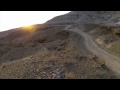
If it's a fast, fun, furious free-ride to the bottom with tight turns and steeps
that you're after or a free-flowing uphill to fulfill your fitness fix, either way
your heart will be pumpin' on TNT. With two access trails to/from Quickdraw
and multiple side trails for an easier ride up or down, this trail system offers
freedom and flexibility for the free-rider in all of us. P.S. For you uphill riders,
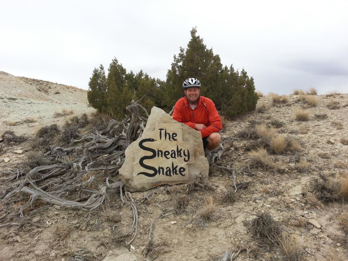
beware of "The Sneaky Snake", a fun, slithering technical section toward the
top of the trail to challenge your own sneaky skills.


 13
13
As the name implies; explosivo! This is a trail you must try if you are in the area. Plan your ride to do this segment downhill (vs. uphill) to get the full fun factor.
| ThankFirst time out had a blast this is my favorite trail very smooth and a lot of great built jumps and drops. I would recommend this trail to more experienced ridders but it is over all a great trail!!
| ThankAn absolute BALL to bomb down and the longer shock travel the better! Drop your seat and hang on!
| ThankSuper fun trail and built very well. Best if ridden down.
| ThankKiller trail! Really got the heart pumpin and my legs and lungs burning on the way up...and oh, what a fun cruise coming down! If you're in the area, HIT THIS TRAIL! You won't be disappointed. Also, was diggin on the trail signs!
| ThankWas passing through Green River on a trip to visit family out west and stopped to ride the local trails on a recommendation from a friend. Wasn't sure what I'd find, but I sure wasn't disappointed (in fact, very pleasantly surprised). All of the trails I was able to ride (Draino, part of Pick Your Poisen, Cruiser, part of Brent and Mike's, No Mo Jo, and TNT) were awesome. Wish I would have had more time to ride them all. These trails were all mostly intermediate type rides with some fun advanced sections on TNT that like the description says "got my heart pumping". It was also crazy that I seemed to have the trails to myself (didn't see another rider) despite other cars in the parking area. If you're passing through the area, hit up the trails for some quality desert riding; it's worth the stop.
| ThankAll of the trails that I rode in the Wilkin's Peak Trail system were well worth the two and a half hour trip south to Green River to get there, but I must say that I really had a blast on TNT. I first rode it as a downhill after a 2 mile stint uphill on Brent and Mike's trail, but then realized that there are separate uphill sections for TNT also, so after an exhilarating ride down, I turned right around and rode it up to do it all over again. The ride up was fun too, and anyone who makes the "Sneaky Snake" on the first try is an animal. I had even more fun the second time down as I knew what to expect and I actually jumped the gully this time instead of taking the bridge. Great trail, I'll be back to ride it again, and I'm excited to explore the other trails in the area.
| ThankI was exploring the trails "hiking" to check out all of the great work that I've been hearing about our local mountain biking club doing in the hills around our town before I actually decide to saddle up and see if my skills are up to par. I ended up trekking up a trail aptly named TNT (it was truly a dynamite trail). Although I personally won't be peddling my DB on this right away (a little too advanced) I have to say, it is an awesome stretch of singletrack! There is an intricate uphill section (The Sneaky Snake with a cool trail marker painting) that looks to be very challenging but nicely arranged and completely conquerable. Once you reach the top, the downhill section looks to be free-flowing fun especially through a section called "Short Fuse" as was written on another rock painting marking that section. From there on, it appears to be a pedal-free zone with fun turns, drops, bumps, and jumps for most of the way down with occasional to frequent braking a necessity. After walking this trail, I am inspired to up my skills so that I might have the bravura to try it some day! Way to go SMBA, very impressive!
| ThankMy legs were numb on the uphill, but I was out of shape at the time. Cool features, nice rock paintings, lots of variety. Had a blast coming down!
| ThankGradual uphill with a few steeper, tricky, but fun sections; all worth it though because the downhill is fast and fun! I slayed the sneaky snake.
| ThankUp or down, either way is a blast and will make you feel accomplished. Lots of options on this trail. Even more fun than the description. Love it!* Review edited 10/14/2012
| Thank