×

|
Rate it:
Tags:
Level: Intermediate
Length: 10 mi (16.1 km)
Surface: Doubletrack
Configuration: Network
Elevation: -
Total: 9 riders
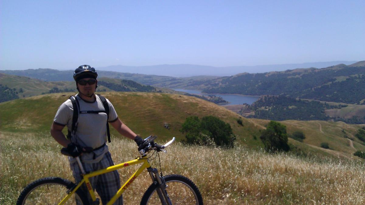
Mountain Biking Sunol Regional Wilderness
#717 of 1,015 mountain bike trails in California
It was O.K. once. Not good enough to drive there again. If we were local would be good week day ride to get out. Real tame, steep.
First added by Juan_Gear on Jun 19, 2005. Last updated Apr 30, 2020. → add an update
Before you go
- Drinking water: unknown
- Lift service: unknown
- Night riding: unknown
- Pump track: unknown
- Restrooms: unknown
- Fat bike grooming: unknown
- E-bikes allowed: unknown
- Fee required: unknown
This trail information is user-generated. Help improve this information by suggesting a correction.
Off I-680 East on Calaveras Road to Geary Road Pay at gate. Pick up a map