×

|
Rate it:
Tags:
Level: Beginner
Length: 6 mi (9.7 km)
Surface: Other
Configuration: Loop
Elevation: +453/ -460 ft
Total: 15 riders
Mountain Biking Sugarloaf Ridge State Park
#556 of 1,005 mountain bike trails in California
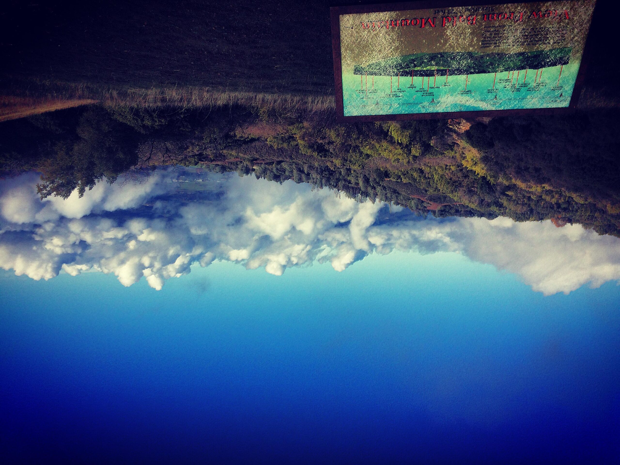
Across from the ranger kiosk is the paved Stern Trail north on Stern for a 2.8 mile 1500+ foot climb up Bald Mountain. Nice views from the 2729 foot peak are a nice break. Right on Gray Pine then right on Medow. Gray pine is Steep and can be very rutted. Should bag any trail once.
First added by Juan_Gear on Jun 24, 2005. Last updated Apr 30, 2020. → add an update
Before you go
- Drinking water: unknown
- Lift service: unknown
- Night riding: unknown
- Pump track: unknown
- Restrooms: unknown
- Fat bike grooming: unknown
- E-bikes allowed: unknown
- Fee required: unknown
This trail information is user-generated. Help improve this information by suggesting a correction.
South out of Sata Rosa on HWY 12 Left on Adobe Canyon Road


Loading reviews...View more