×

|
Rate it:
Tags:
Level: Easiest
Length: 15 mi (24.1 km)
Surface: Other
Configuration: Network
Elevation: +122/ -113 ft
Total: 3 riders
Mountain Biking Steinenschloss Weg
#45 of 151 mountain bike trails in Germany
This is a network of single track, double track, and fire roads around a castle ruin.
First added by C-Lo on Mar 17, 2015. Last updated Apr 24, 2020. → add an update
Before you go
- Drinking water: unknown
- Lift service: unknown
- Night riding: unknown
- Pump track: unknown
- Restrooms: unknown
- Fat bike grooming: unknown
- E-bikes allowed: unknown
- Fee required: unknown
This trail information is user-generated. Help improve this information by suggesting a correction.
The trail starts in a small parking lot off of the L477.


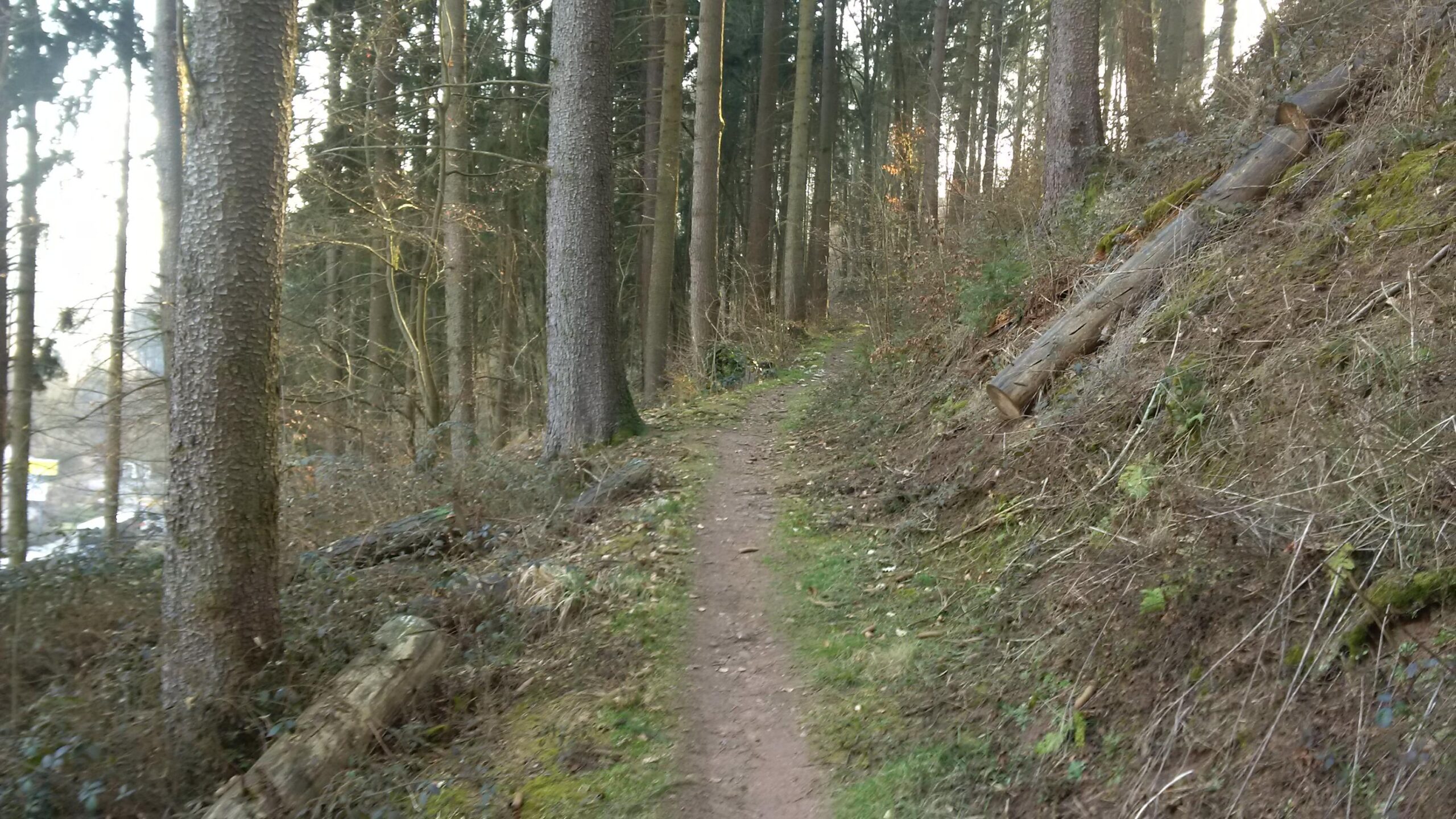

This is a nice weekend trail. It is a mix of gravel, paved, and single track. A lot of the single track is covered with thorn bushed so my shins were cut up when I got home. It was a nice ride. Hit this trail in you live in the area. Do not make a special trip out here unless you like ruins.
| Thank