Spring Canyon begins at MTRP as easy doubletrack, and becomes windy wide singletrack (more like doubletrack) about a half mile from the park boundary. The pop of the lollipop route is true singletrack, good for all skill levels. Some pushing may be required as it gets pretty steep and loose in a few brief spots.
Park at the East Fortuna parking lot of Mission Trails. Take the northern trailhead heading west and take a right (north) at the intersection which heads towards the freeway bridge. Mission trails ends at the freeway - everything North of here is Spring Canyon.
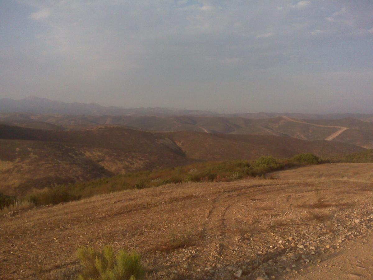
Continue north up the canyon, sticking to the main trail which roughly follows the dry streambed. Approx 1.6 miles in (measured from the park boundary/freeway) look for a narrow singletrack heading up a canyon to your right (northeast.) Follow this trail up the narrow canyon. At the end it climbs out and turns left for the final climb to the crest. At the top, continue straight, past the access road and follow the singletrack down the otherside until you intersect Spring Canyon again. Continue back (left/south) to the trail intersection, and back to your ride.
Warning - MCAS Miramar is nearby. The suggested route avoids the base. If you choose to venture onto other trails, research the boundaries first and pay special attention to your whereabouts as trespassing on Miramar is frowned upon. Bikes can and reportedly have been confiscated. The border of the base is not well marked apparently, so homework is a must.


Very poorly marked. Had a real hard time following the directions, and with the MCAS right next to it, it led to some careful slowdowns to try and take the right path. Ended up doing an out and back, so not really sure if I hit the recommended path.
That being said, it was a pretty great trail. Decent clime up to the top, with a fair bit of rocks to contend with. The downhill on the way back was heavenly: lots of good rocks, not too sandy, and you can pick up some good speed. Went on a Monday morning and didn't meet a soul past the freeway.
| ThankThis is a fun out and back - More fun on the back then the out so you earn it a bit here. There really are only a few areas that might require some lung, but overall a pretty mellow XC ride. Have Fun!
| ThankThis trail is a medium climb and a really fun ride back with some somewhat technical single track. If you are the guy that wants to break the rules and pass the treaspassing signs at the crest of the hill make sure you do it after 1600 because Marines are qualifing on the M-16A4 service rifles all day before that time. if oyu ride before 1600 You would be riding directly into there field of fire and approx. 200 marines would be forced to seize fire.* Review edited 6/22/2009
| Thank