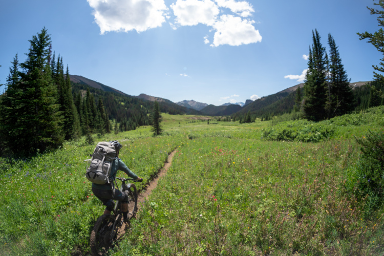
South Chilcotin Mountains Provincial Park is a breathtaking park with tons of views, lakes and mountain peaks. Activities here include hiking, swimming, fishing, mountain biking, horseback riding. cross-country skiing, snowshoeing, snowmobiling and camping.
 | B&F Creek Trail | 5.1 mi | |
| Deer Pass | 6 mi | |
| Frieberg Trail | 1 mi | |
| Graveyard Creek Trail | 5 mi | |
| Gun Creek Trail | 16 mi | |
| Gun Meadows | 1.6 mi | |
| High Trail | 13 mi | |
| Lick Lower | 2.4 mi | |
| Little Graveyard Trail | 5.2 mi | |
| Little Paradise Creek Trail | 5.6 mi | |
| Lorna Pass Trail | 4 mi | |
| Manson Creek | 2 mi | |
| Tyoax Creek Trail | 4 mi | |
| Tyoax Pass Trail | 2 mi | |
| Upper Tyaughton Creek Trail | 2 mi | |
| Warner Pass | 13 mi |
 3
3
Really hope to ride this some day as a multi-day, point-to-point, self-supported ride, starting with the float plane drop. Check out the Destination Trail Canada video by Specialized. Over 200km of backcountry trail. Big country. Looks killer.
| Thank