×

|
Rate it:
Tags:
Level: Intermediate
Length: 50 mi (80.5 km)
Surface: Other
Configuration: Network
Elevation: -
Total: 1 riders
Mountain Biking Shargamorit Khandgait Hills East
#7 of 70 mountain bike trails in Mongolia
This is about an 80 square kilometer (30 sq.mi) area with many kilometers of trail, probably around 60 km (40 mi) of trail. It is made up of mostly forested mountain slopes and also long valleys that can be forested or open in the bottoms.
The Selbe Gol Valley makes up the entire western border, and the Uliastai Gol and a west fork of the Uliastai Gol form the eastern border. The southern portion begins around Shargamorit and Selbe Camp. The northern border is the Khandgait Valley.
The area is about as long as it is wide in the longest axes and is quite broken with the many slopes and valleys breaking off high ridges. The highest elevations are around 2120m (6950 ft) and the lowest around 1400m (4700ft).
There are trails everywhere, and they are randomly but well connected. The trails are a mix of singletrack, two track (not double wide ST but two narrow ST side by side from jeep use) and some 4x4 road. Most climbs are moderate to difficult and most descents very fast.
The trails run up and down the valleys, along ridge tops, contour slopes and sometimes drop straight down slopes. Several relatively close up Google Earth sat images are essential to finding trails and exploring the area.
First added by mongwolf on Mar 8, 2016. Last updated Apr 23, 2020. → add an update
Before you go
- Drinking water: unknown
- Lift service: unknown
- Night riding: yes
- Pump track: unknown
- Restrooms: unknown
- Fat bike grooming: yes
- E-bikes allowed: unknown
- Fee required: unknown
This trail information is user-generated. Help improve this information by suggesting a correction.
This is a large area, and it can be access from many different points. The three most convenient are the following. From the center of Ulaanbaatar travel north about 15 km using Doloon Buudal Road ultimately to Shargamorit. Shargamorit forms the lower southwest corner of the area. You can also drive further north to Khandgait which forms the upper northwest corner of the area. Or you can drive from Ulaanbaatar north on Doloon Buudal to Belkh Road and take it north to Selbe Camp which is on the eastern half of the southern border. Selbe Camp can also be reached from Sansar, driving north on Dari-Ekh St until you reach Belkh Road, and then again continue north to Selbe Camp.
System trails (1)


The east side valley, heading N from the camp and then NW makes for a nice gradual climb, mostly on old two tracks. There is one steeper section for a mile or so, but it was very rideable -- just a good workout. And the final climb up to the fire tower is a little short of a 1/2 mi (.65 km) and is pretty stout, but again doable. All in all, it is a great 5 mi climb up to the tower. From the tower back to the camp is pure DH bliss. The gradient is perfect for just rippin' down the mountain, and there are all kinds of roots, dips, scoops, and curves to play on all the way down. Nothing is very technical, just let it go and let your bike take over. Except for a few dirt/rock road stretches, the trail is quite organic for Mongolia. All in all, it's a great ride in a beautiful forest.
| ThankRode here for the second time a couple of weekends ago. Both times we started from Selbe Camp on the southern border of the area. This time there was no snow, and we went up the east side valley that runs north up the mountain. The first time we rode up the west side valley.
The east side is a nice gradual climb mostly on old two tracks. There was one steeper section for a mile or so, but it was very rideable still -- just a good workout. All in all, it was a great climb, which was then followed by one awesome downhill. The gradient is perfect for just rippin' down the mountain, and there is all kinds of roots, dips, scoops, and curves to play on all the way down. Nothing is very technical, but it's not smooth either. You just have to let your suspension take over and stay loose on the bike to absorb all that's happening underneath you. It's a fairly easy intermediate trail, which in practice means LET IT RIP. The trail is quite organic for Mongolia, and the forest is beautiful. All in all, a great place to ride.
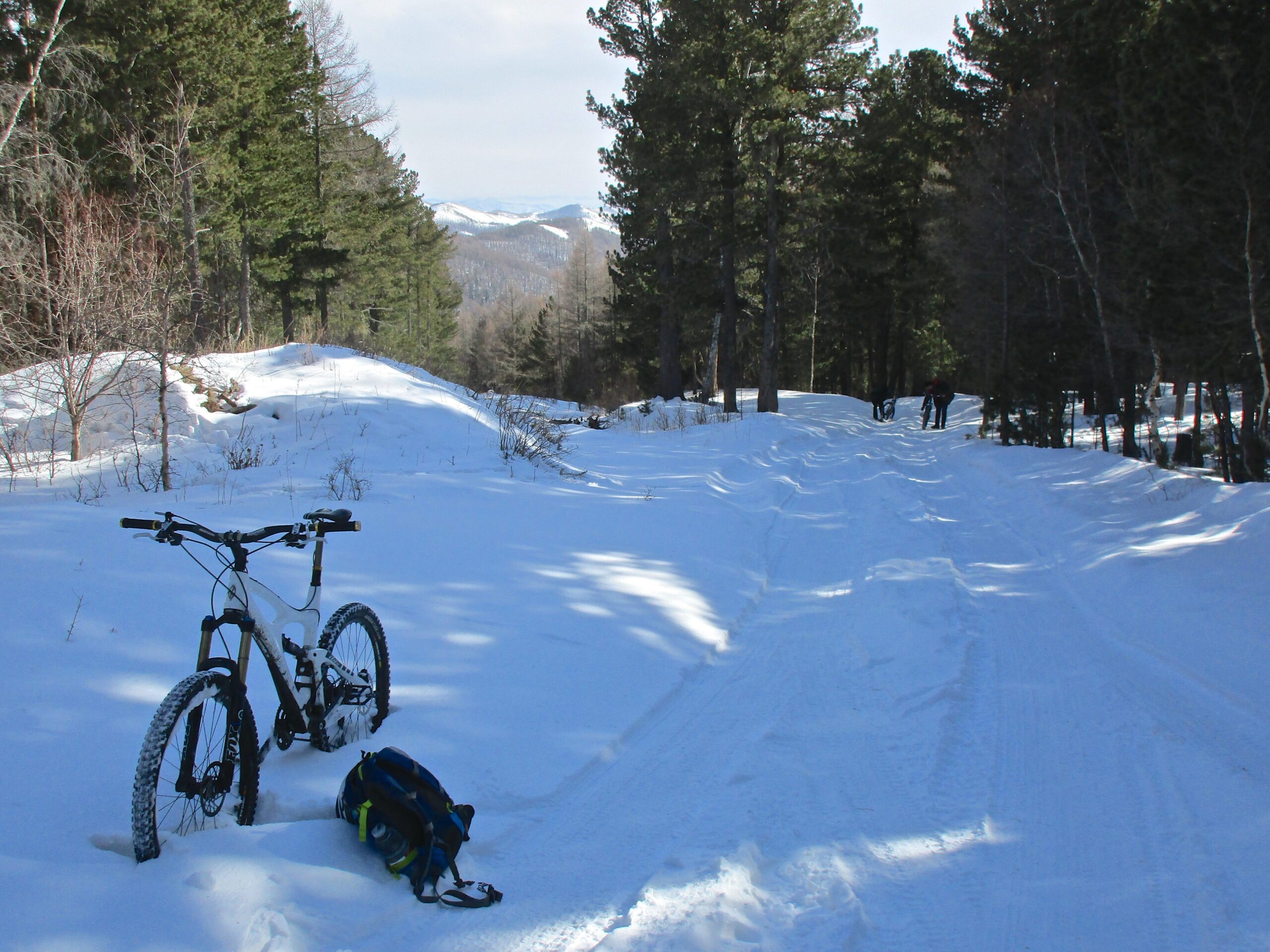
| ThankLast week we rode here in the snow. What a beautiful forested area with really nice views. Can't wait to ride the area after snowmelt. I'll give it a five rating for now and rate it again later.
| Thank