×

|
Rate it:
Tags:
Level: Intermediate
Length: 4 mi (6.4 km)
Surface: Singletrack
Configuration: One-way
Elevation: +192/ -1,091 ft
Total: 28 riders
Mountain Biking San Ysidro
#237 of 1,015 mountain bike trails in California
Follow the single track down the hill. It starts out with open, flowing single track and quite a few switchbacks. It gets rockier the lower it goes.
First added by Jared13 on Jun 16, 2013. Last updated Apr 28, 2020. → add an update
Before you go
- Drinking water: unknown
- Lift service: unknown
- Night riding: unknown
- Pump track: unknown
- Restrooms: unknown
- Fat bike grooming: unknown
- E-bikes allowed: unknown
- Fee required: unknown
This trail information is user-generated. Help improve this information by suggesting a correction.
From highway 192, take Mountain Drive north. Make a slight left onto Gibraltar Road, drive for 6.6 miles.
Turn Right on E Camino Cielo and drive for 3.9 miles. The metal sign for the TH will be on your right.
You can also ride up Romero Road, turn left on E Camino Cielo and ride to the TH.


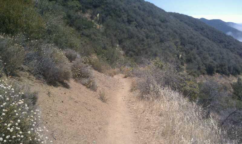

Wow, one of the best trails in Central California coast trails! Great views at the top followed by some great switchbacks and flowy descents. Almost four miles of downhill singletrack!
| Thank