×

|
Rate it:
Tags:
Level: Intermediate
Length: 20 mi (32.2 km)
Surface: Doubletrack
Configuration: Network
Elevation: +246/ -234 ft
Total: 32 riders
Mountain Biking San Angelo Trail
#95 of 279 mountain bike trails in Texas
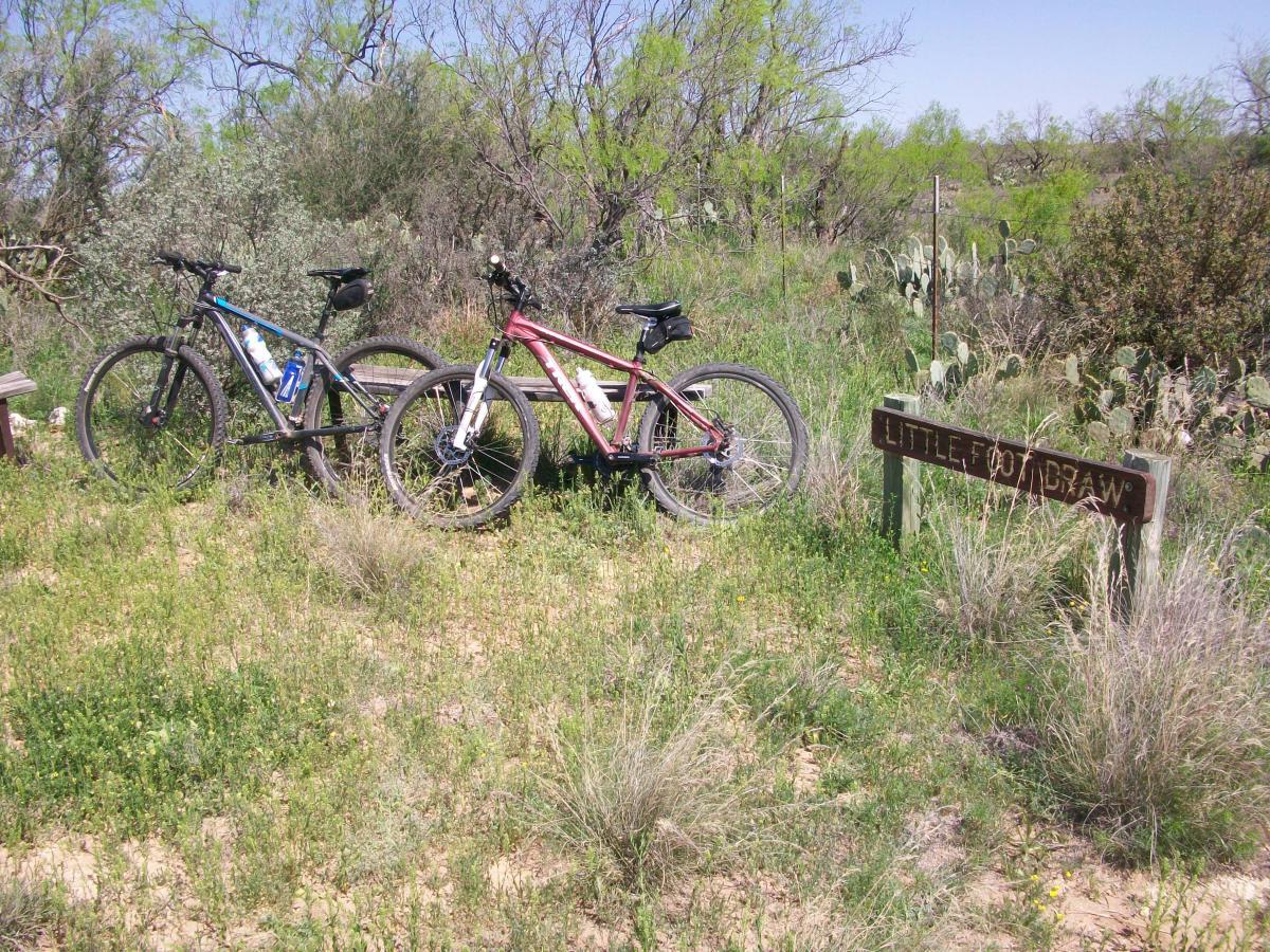
The will give you a map and general directions at the gate. A lot of good cross country trails. No real serious downhills but great riding none the less. There is a good network of trails that will keep you going all day. They have just created some new divided trails, one for horses and the other for bikes. Enjoy.
First added by searsandrewj on Jan 1, 2003. Last updated Apr 30, 2020. → add an update
Before you go
- Drinking water: unknown
- Lift service: unknown
- Night riding: unknown
- Pump track: unknown
- Restrooms: unknown
- Fat bike grooming: unknown
- E-bikes allowed: unknown
- Fee required: unknown
This trail information is user-generated. Help improve this information by suggesting a correction.
Take State Hwy 87 South from I-20 in Big Spring, Texas about a one hour drive. Turn right on 2288 about 8 miles before you get to San Angelo. There is a north and south entrance to the park about 10 miles apart on your left. It will cost you $3 to get into the park if you do not have a state pass but it is worth it.


This trail is looks like it is in the middle of wastelands, but there is miles and miles and miles of single track. Nothing too technical and the climbs are short and not too steep, but you can get a lot of time in the saddle which is what I needed.
| ThankWent up to San Angelo for a weekend with my TPWD Pass, and while the city itself has no draw to me other then Chef Jason's Deli, San Angelo State Park ended up proving to be quite the camp and mountain bike adventure.
All in all, we logged almost 60 miles on our odometers in 48 hours, and I have to estimate that there are 30-40 miles worth of unique singletrack and doubletrack trails here. While some trails converge Equestrian, MTB & Hiking trails into one, there were also many trails that would split the Equine from the MTB trails so you could ride without having to dodge horses (not that there were many!) These split trails also help account for the park boasting 50+ total miles of trails.
Lots of variety of terrain, some very tough, steep climbs, some technical sections, loose rocks and roots, quick scoots up and down old paved boat ramps and neverending cactus patches but all in all plenty of hardpack dirt and lots of long, winding, flat trails where you can rack up some serious mileage at higher average speeds.
Many times we would be heading back to camp and then see another trail we missed, choosing to try it and thinking it would only add another 15 to 30 minutes to the ride. We were most often so so wrong! We spent extensive time out here and really had a blast. We used the Shady Hill trail often as our connector because it had a sweet, fast hill. The Burkett Trail is really fun from either direction, pretty flat and fast but very unique scenery and the best connector to the North and South sides of the park. Other sweet trails of note were the Dinosaur Trail which was pretty flat and fast but with excellent scenic backdrops serving as a great warm up loop that takes about 45 minutes and the River Bend Trail which was seemingly never ending at certain points. Bring a GPS if you have it (we didn't) as larger trail head markers provided coordinates, but don't expect much else for trail markers!
If you like to test your endurance this is the place for you because there are just not many parks out here with this amount of trail mileage. Take your time to explore and bring plenty of water if the sun is out. There are water sources along the way, but you could be (and invariably will be!) out here for several hours.
What at first glance is desolate, even barren with a shrunk up lake (don't come expecting to swim) later becomes wildly beautiful and unique with many different styles of terrain and many opportunites to experience nearly all facets of Texas wildlife. Often you will feel like you're lost in the middle of nowhere in a ghost park with a lake you never seem to find or like you're the only one on the trail; soldier on because the payoff was worth it, every time. * Review edited 5/8/2011
| ThankApproximately 30 miles of singletrack make for a nice long ride. Its a nice slow burn. Not a ton of elevation change out here. Some sections are in need of repair. I give this a 4 because of the quantity of singletrack. In terms of quality, its more like a 3.
| ThankGreat trail with a little of everything. Make sure to bring a back up tube or be prepared to walk.
| Thank