×

|
Rate it:
Tags:
Level: Beginner
Length: 14 mi (22.5 km)
Surface: Other
Configuration: Network
Elevation: +300/ -294 ft
Total: 29 riders
Mountain Biking Rifle River Recreation Area
#69 of 326 mountain bike trails in Michigan
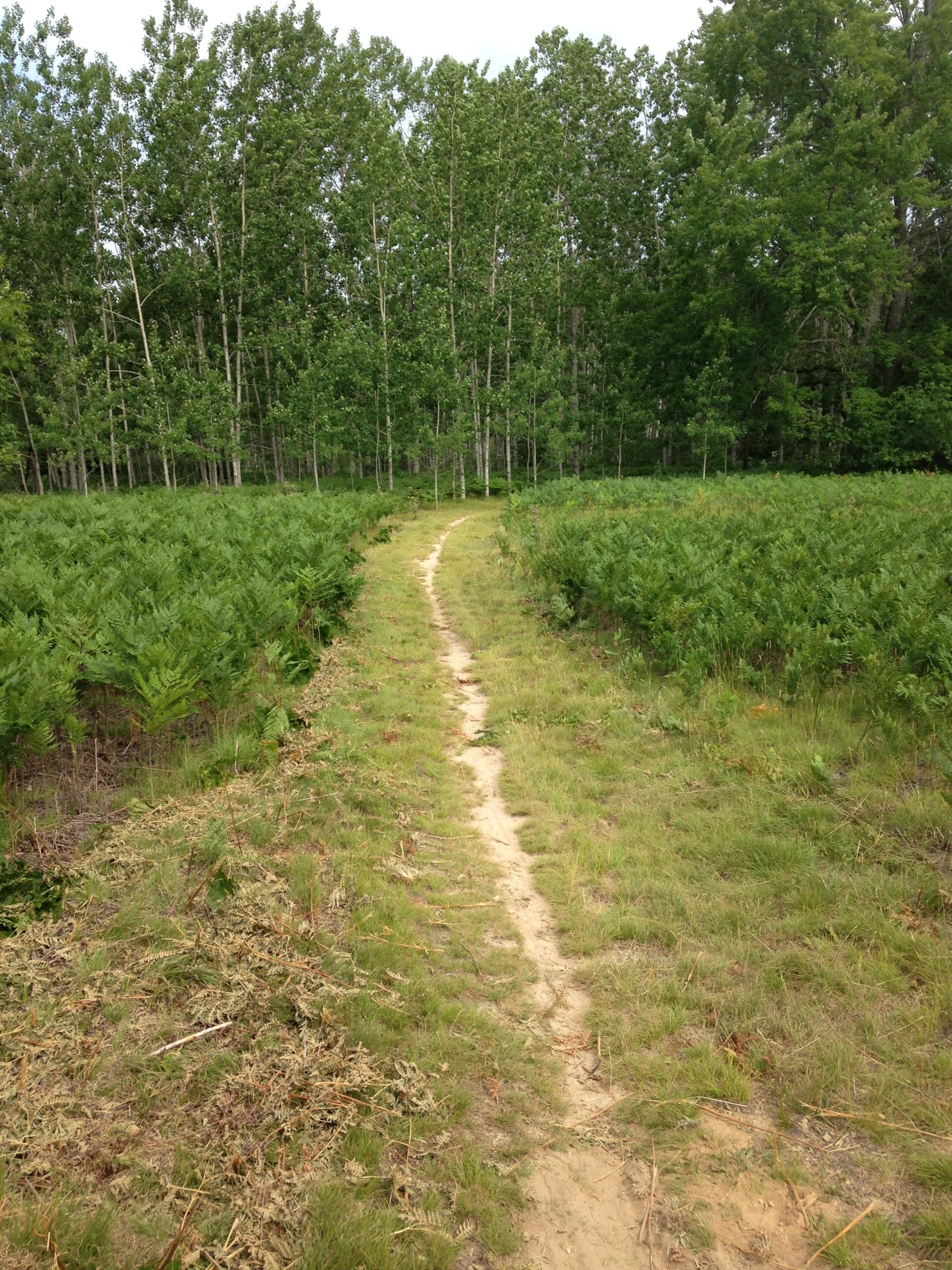
This is a rather large network of trails in a DNR park. There are several loops and some dead end trails. Nodes 1-8 provide some technical challenge and some long climbs and downhills. In addition there are some great campgrounds, lakes and fishing streams here. Please visit http://www.michigandnr.com/parksandtrails/Details.aspx?id=489&type=SPRK for more information.
First added by j35u5fr34k on Jul 13, 2008. Last updated May 10, 2020. → add an update
Before you go
- Drinking water: unknown
- Lift service: unknown
- Night riding: unknown
- Pump track: unknown
- Restrooms: unknown
- Fat bike grooming: unknown
- E-bikes allowed: unknown
- Fee required: unknown
This trail information is user-generated. Help improve this information by suggesting a correction.
From Tawas City go west on M-55 until you hit the light at M-33 and go north to the light in Rose City. Go east on E. Main Rd (F-28). in Rose City at the light about ten miles and the Rifle River Recreation Area is on the south side of the road.
Rifle River Recreation Area
2550 E Rose City
Lupton, Michigan 48635


The start is very fun and punchy, then is smoothes out for nice cross country on the back side. We are the Only people out there everytime we go.
| ThankFrom an incoming 3rd grader ???? it was hilly
| ThankI rode this trail the weekend of July 16th/17th and I loved it. I am upper beginner/lower intermediate and I rode the back part of the park - marker 11-24. It was perfect for my ability, and was an absolutely beautiful ride. It is well marked and well kept up. The whole park is the same way, and there were other places that looked fun to ride if I had the time. I would highly recommend this trail to beginner/intermediates for sure. I am hoping it is open in the winter as well to do some snow biking
| ThankNice trail system to take riders of different abilities. Better riders will not be challenged, but they won't be bored, either. Beginning riders have a good place to learn that has some challenges but is not scary. Overall, a nice trail.
| ThankThis is a multi-use trail with numbered markers. Number 12 and 18 will take you out of the loop (12 takes you to a capground area and 18 takes you to "Lost Lake") The trail is wide and easy, but there are some good climbs and flowing downhills (between post 2 and 8). This trail is a great place for a mellow ride. The trail runs around lakes, a river, and beautiful forest. Great places to stop along the way.
| ThankPick up a map at the ranger's station. It came in handy for me a few times and let me kow when I was close to the look-out tower (not along the trail but a short ride up a dirt road). Again, not a typical MTB singletrack, but I will go back for sure.
Basic trail 11 yrs ago.
| ThankWhile not very difficult, this is a fun trail to get out on & just fly. Overall it's about 13 miles and the terrain varies from pine forest, to open meadows, to swamp, to aspen groves. As the description states, Markers 1-8 are the most challenging part of the trail, in particular one section is about a .6 mile climb followed by a sweet .6 mile downhill section. The rest is fairly flat but you can really crank up the speed. Plus there's many places to stop and enjoy the many lakes in the park or the Rifle River.
| Thank