×

|
Rate it:
Tags:
Level:
Length: 30.4 mi (48.9 km)
Surface: Fire Road
Configuration: Lariat
Elevation: -
Total: 3 riders
Mountain Biking REYNOLDS SPRING NATURAL AREA - LARIAT
#168 of 295 mountain bike trails in Pennsylvania
This area is the best kept gravel secret in PA. There are hundreds of miles of gravel roads/trails. Definitely buy the Purple Lizard Map for Pine Creek, available locally or purplelizard.com. This ride has the perfect amount of everything for a 30 mile ride. It begins and ends with a very scenic 5 miles on the Pine Creek RailTrail. The middle 20 miles is very hilly, with 2500' of elevation gain, and alternates between granny gear perseverance (I ride a 1x11) and screaming downhills. The gravel/dirt roads are usually in very good to excellent shape. All mileages are approx and from "Ride with GPS".
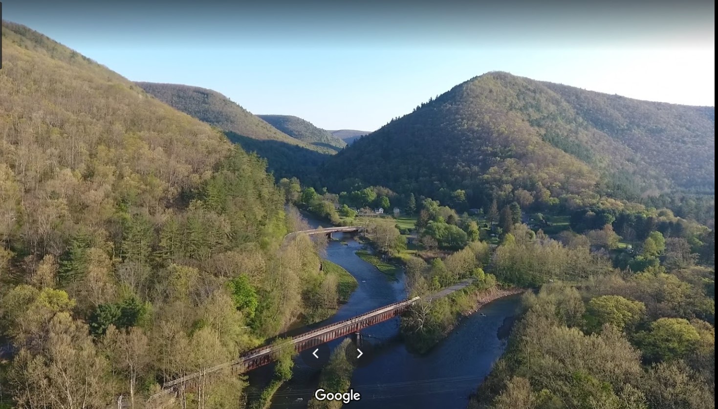
- Leave the parking area, taking 414 East for 100 yds and turn R onto Pine Creek RailTrail. Pass Rattlesnake Rock access at 1.9 miles. Great swimming hole. Enjoy spectacular SW views of Pine Creek and the canyon along the way.
- Continue on RailTrail, crossing Pine Creek via the historic railroad bridge before entering the village of Cedar Run at 5.2 miles. Note the Cedar Run General Store for the return. Excellent lunches and the best ice cream in PA.
- From Cedar Run, take the concrete bridge over Pine Creek and climb up to Route 414. Turn R onto 414. In a few hundred yards, turn L onto Leetonia Rd.
- On Leetonia Rd., a rolling, well-maintained gravel road, bear L at 10.1 mi, after concrete bridge across small stream of Cedar Run, continue climbing on Leetonia Rd. You'll cross a number of one-lane bridges and ride along a scenic stream. (Bearing R is a 5 mile very serious climb up Mine Hole Rd. to West Rim Rd. and back to Blackwell if you need to shorten the trip. But if you need to bail, it's much easier to retrace your ride. Don't underestimate the climb.)
- A little past 12 mi on Leetonia Rd., bear L and start climbing Francis-Leetonia Rd.
- In about 1 mi, continue straight onto Bear Run Rd.
- Continue for about 2 miles, enjoying a fast downhill at the end, before you bear L onto Reynolds Springs Rd. and start climbing again.
- At 19.9 mi, as things start to more consistently level out, the road turns R and becomes Gamble Run Rd. Beautiful, dark forests and smooth dirt road continue across the top of the mountain until you drop into the hair-on-fire, screaming descent to intersect with Route 414. As you descend, be alert for the rare but possible life-threatening-at-35mph pothole.
- Turn L onto 414 and continue about 1.5 mi, when you'll bear R to descend into the village of Cedar Run. Don't forget the ice cream!
Turn L onto RailTrail for the scenic-from-a-different-view 5.2 miles back to Blackwell.
First added by grafynco on Sep 15, 2020. Last updated Sep 15, 2020. → add an update
Before you go
- Drinking water: yes
- Lift service: unknown
- Night riding: yes
- Pump track: unknown
- Restrooms: yes
- Fat bike grooming: yes
- E-bikes allowed: yes
- Fee required: unknown
This trail information is user-generated. Help improve this information by suggesting a correction.
From the village of Morris, PA 16938, take Route 414 West about 5 miles to the Village of Blackwell and park at the access area parking lot next to the stream. Restrooms and water pump available.


I added this trail. Great training ride for hills and a fun gravel ride. Convenient access and food/ice cream available on ride.
| Thank