×

|
Rate it:
Tags:
Level: Beginner
Length: 3 mi (4.8 km)
Surface: Other
Configuration: Out & Back
Elevation: +227/ -90 ft
Total: 19 riders
Mountain Biking Quail Trail
#506 of 1,015 mountain bike trails in California
Mixture of double track and fire road, approx 2.65 miles long
First added by swerverider on Jan 1, 2014. Last updated Apr 28, 2020. → add an update
Before you go
- Drinking water: unknown
- Lift service: unknown
- Night riding: unknown
- Pump track: unknown
- Restrooms: unknown
- Fat bike grooming: unknown
- E-bikes allowed: unknown
- Fee required: unknown
This trail information is user-generated. Help improve this information by suggesting a correction.
The east end of the trail begins across the street from Quail Hill Loop (34 Shady Canyon Dr, Irvine, CA 92603). The west end begins at the intersection with West Canyon Trail and Serrano Ridge Trail (which is in Laguna Coast Wilderness Park)


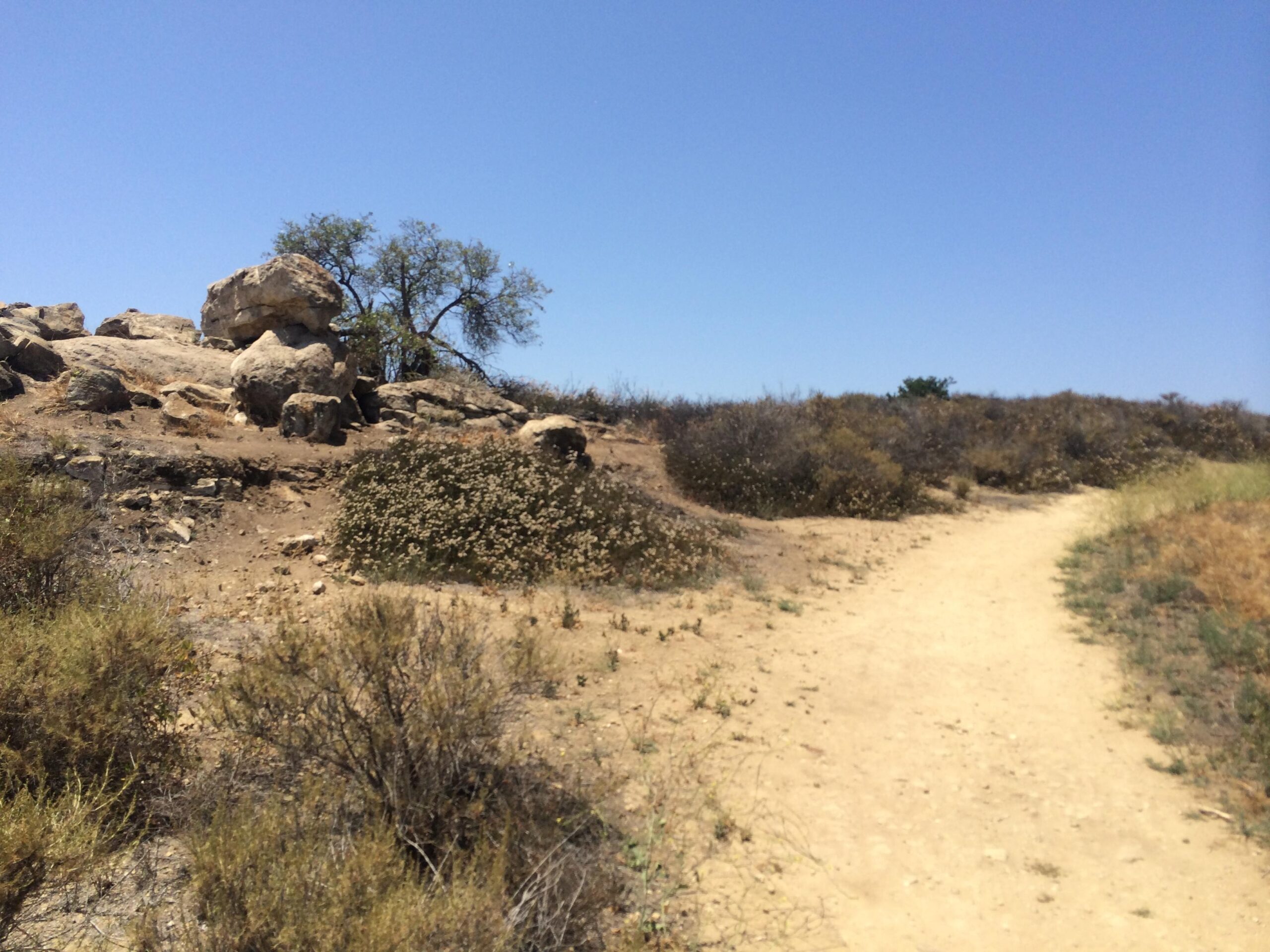

Quail Trail links Laguna Coast Wilderness Park and Irvine (specifically Quail Hill Loop). Running east/west(ish), both ends start as fire road, but as you climb to the top the trail narrows down to doubletrack - or at least wide single track (at its most narrow). From the top, you have great views out over irvine - and the 405 freeway! The top part is the best part of the ride, and even has a few switchback turns.
| Thank