This series of looped trails winds in and out of several hardwood hollows on the banks of Peruque Creek in western St. Charles County. Expect easy to moderate technical terrain with modest elevation gains. This park offers an excellent opportunity to introduce new riders to singletrack, yet allows enough technical riding to keep more experienced riders interested. There are several bail-out options in case novice riders find themselves in too deep.
On the east side of the park, near the main trailhead, the terrain is somewhat rocky and wildlife sightings are common due to encroaching subdivisions on all sides. These trails encompass mostly short, moderately steep hill sections which can usually be ridden after a rain.
The western portion of the park is a mix of gently rolling hills and flat sections. The flat sections next to the creek can be ridden fairly easily by the novice rider, but should be avoided when muddy.
There are also paved trails that run throughout the park which offer additional opportunites to introduce someone to riding, or for riding after a rain when the natural surface trails aren't an option.


Sweet trail system off the highway in an area easily accessible. Some light foot traffic and limited hours of operation. I had limited time on the trail as it started raining when I started and there is a very specific No Riding in the Rain Rule here for trail preservation. I respect that as the trail is very nice and well taken care of.
| ThankRode this trail yesterday. I rode the long outside track and it doesn't appear to have much traffic of late. One downhill switchback over a gulley has a bit of wash out but filled with leaves so be careful of instability. The creek side must have been flooded recently as there is more sand than normal and some detoured parts due to washout. Otherwise it was a nice easy ride.
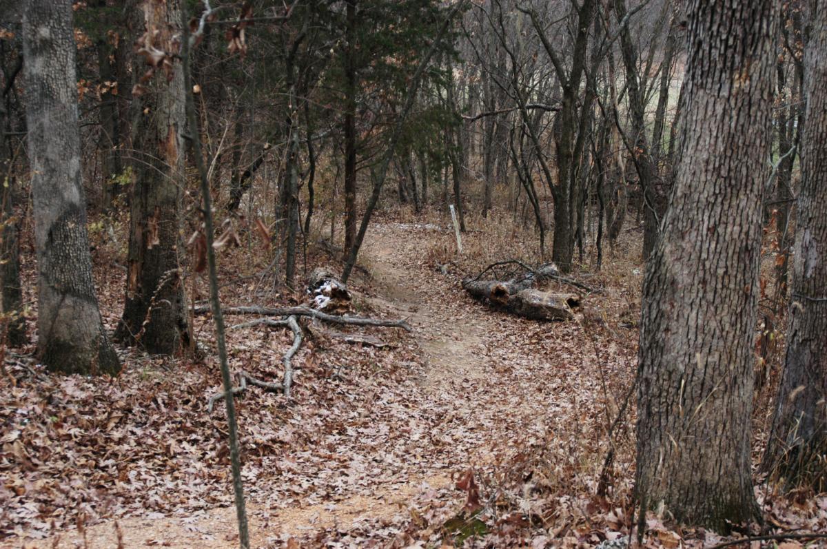
| ThankSpent much of my time here wondering where I was despite occasional posted maps. Trail was leaf covered and fun to ride but unsustainably steep in some areas. A lot of potential here and it looks like someone is working on improvements. I'm looking forward to coming back in the future.
| Thank