×

|
Rate it:
Tags:
Level:
Length: 3.5 mi (5.6 km)
Surface: Singletrack
Configuration: Network
Elevation: -
Total: 2 riders
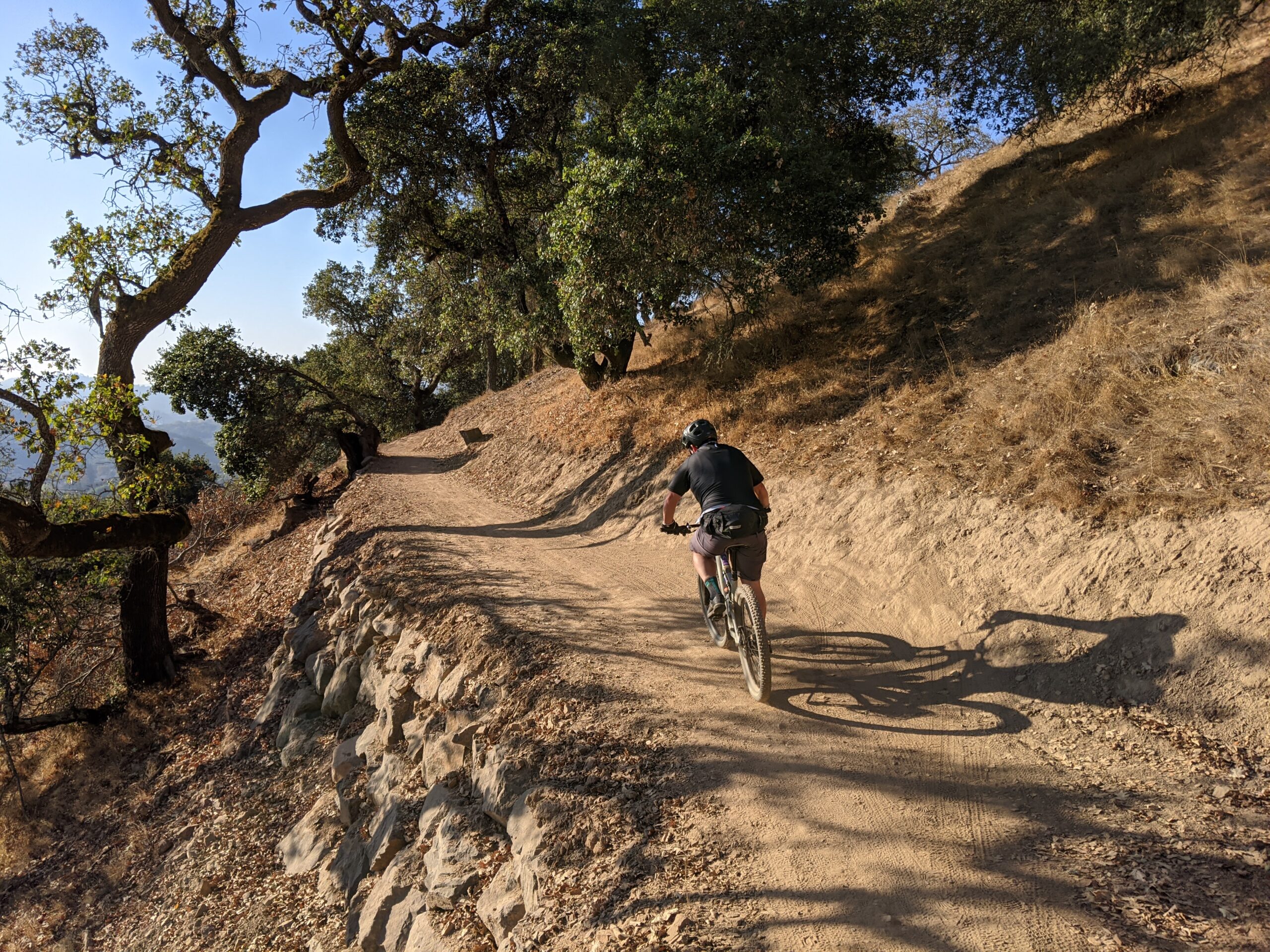
Mountain Biking Ponti Ridge Trail
#876 of 1,015 mountain bike trails in California
Super flowy trail replaces a steep and erosive fire road. Almost entirely rerouted trail with berms, rollers and amazing views along a ridge line of oak and madrone trees. Views of Mount Tam, San Francisco Bay, SF skyline, Marin Civic Center and Mount St. Helena.
First added by Tom Boss on Nov 3, 2020. Last updated Nov 3, 2020. → add an update
Before you go
- Drinking water: no
- Lift service: no
- Night riding: yes
- Pump track: no
- Restrooms: no
- Fat bike grooming: no
- E-bikes allowed: no
- Fee required: no
This trail information is user-generated. Help improve this information by suggesting a correction.
Start at the Ignacio Park & Ride lot off Alameda del Prado or the Marinwood Market and ride the Pacheco Pass Pathway to the trailhead. You can also ride up Queenstone Fire Road or Chicken Shack Fire Road to the trailhead at the top.