×

|
Rate it:
Tags:
Level: Intermediate
Length: 7 mi (11.3 km)
Surface: Singletrack
Configuration: Network
Elevation: +158/ -165 ft
Total: 24 riders
Mountain Biking Polecat Gulch Loop #81
#58 of 335 mountain bike trails in Idaho
Small network with one larger loop (Polecat Loop) and two connector trails
(Doe Ridge, Quick Draw) inbetween. Nice singletrack that winds around the
Polecat Gulch Area. A few sandy spots and goatheads. Nice views of
surrounding area.
First added by dauw on Jun 5, 2010. Last updated Aug 2, 2022. → add an update
Before you go
- Drinking water: unknown
- Lift service: unknown
- Night riding: unknown
- Pump track: unknown
- Restrooms: unknown
- Fat bike grooming: unknown
- E-bikes allowed: unknown
- Fee required: unknown
This trail information is user-generated. Help improve this information by suggesting a correction.
From Bogus Basin Rd., take a left on Cartwright Rd. and proceed for about 3-4 miles. Trailhead will be on the left.

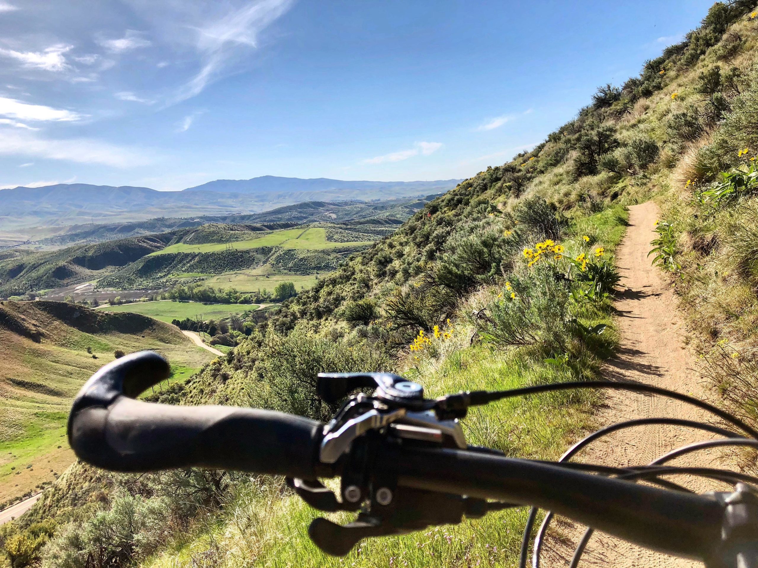

An easy green trail in the foothills that's best ridden in the spring and fall. There are multiple options to Polecat. You can do the full loop or shorten it up on some other trails. The climbs are mostly easy with a fast albeit short downhill at the end when ridden clockwise. Be careful, it's a popular trail with a lot of hikers and bikers going either direction.
| ThankSandy, swoops fun. Hot. Not much shade.
| Thank