×

|
Rate it:
Tags:
Level: Advanced
Length: 23 mi (37 km)
Surface: Singletrack
Configuration: Out & Back
Elevation: -
Total: 4 riders
Mountain Biking Point Pelee National Park
#177 of 317 mountain bike trails in Ontario
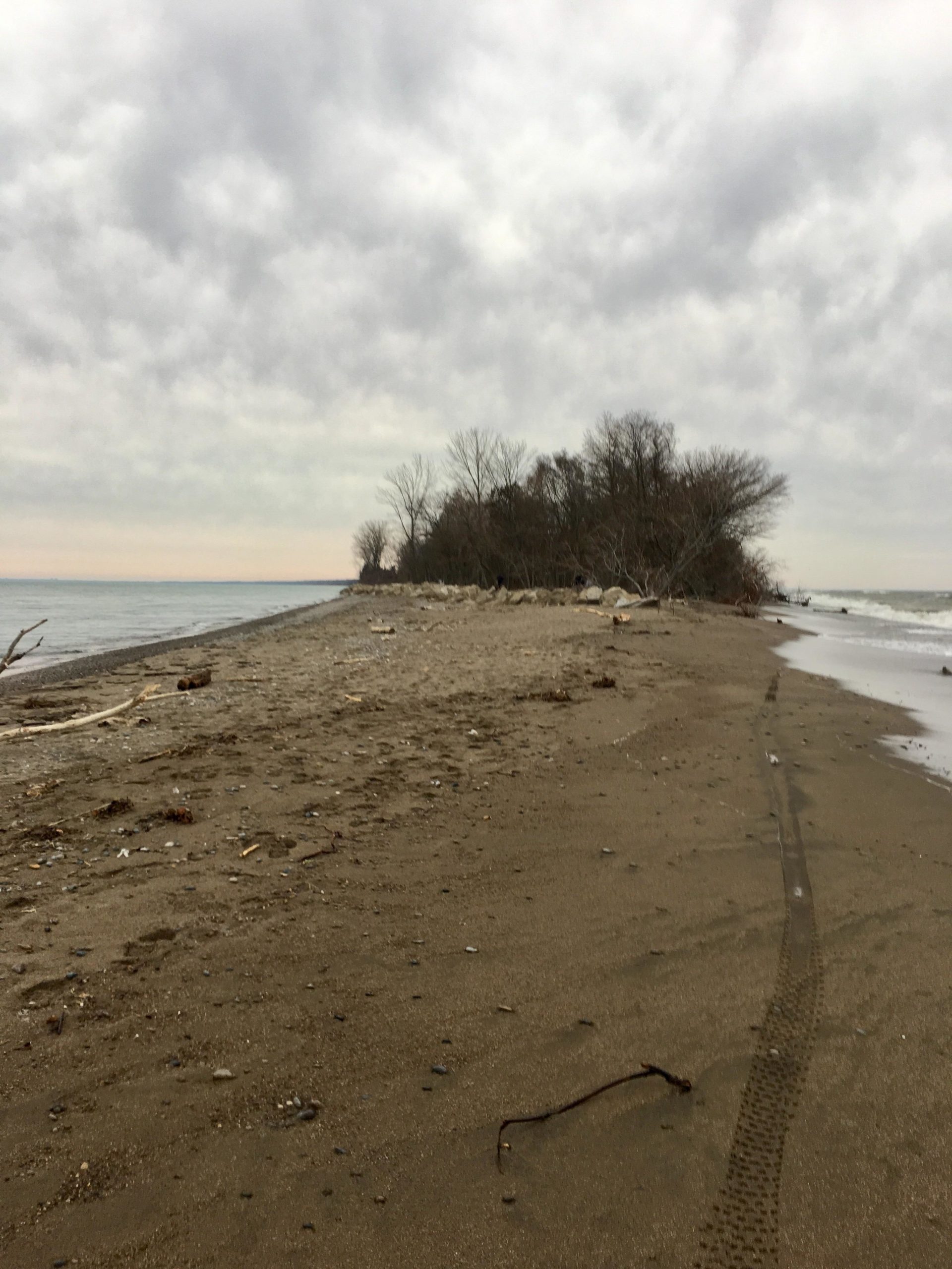
Most southern tip of mainland Canada Approx 4.4km wide by 7km long .Paved road from main gate to tip and also a 6ft wide winding packed gravel path for running and bikes. Along side that is the west beach trail all single track through forest and sand plus numerous other side trails all narrowing down to the tip. Large beach areas , bird sanctuaries, boardwalks , visitor centers .Pay to enter
First added by Paul Loeffelholz on Dec 16, 2018. Last updated Apr 17, 2020. → add an update
Before you go
- Drinking water: unknown
- Lift service: unknown
- Night riding: unknown
- Pump track: unknown
- Restrooms: unknown
- Fat bike grooming: unknown
- E-bikes allowed: unknown
- Fee required: yes
This trail information is user-generated. Help improve this information by suggesting a correction.
Point Pelee drive


Winding gravel pathway along main road great condition , with a hidden single track in the bushes slightly sandy and some over growth in sections
| ThankSoft granular sandy beaches even tough for fat bike in some areas . Excellent hidden single track called west beach hiking trail. Great area for something different . Not much elevation .
| Thank