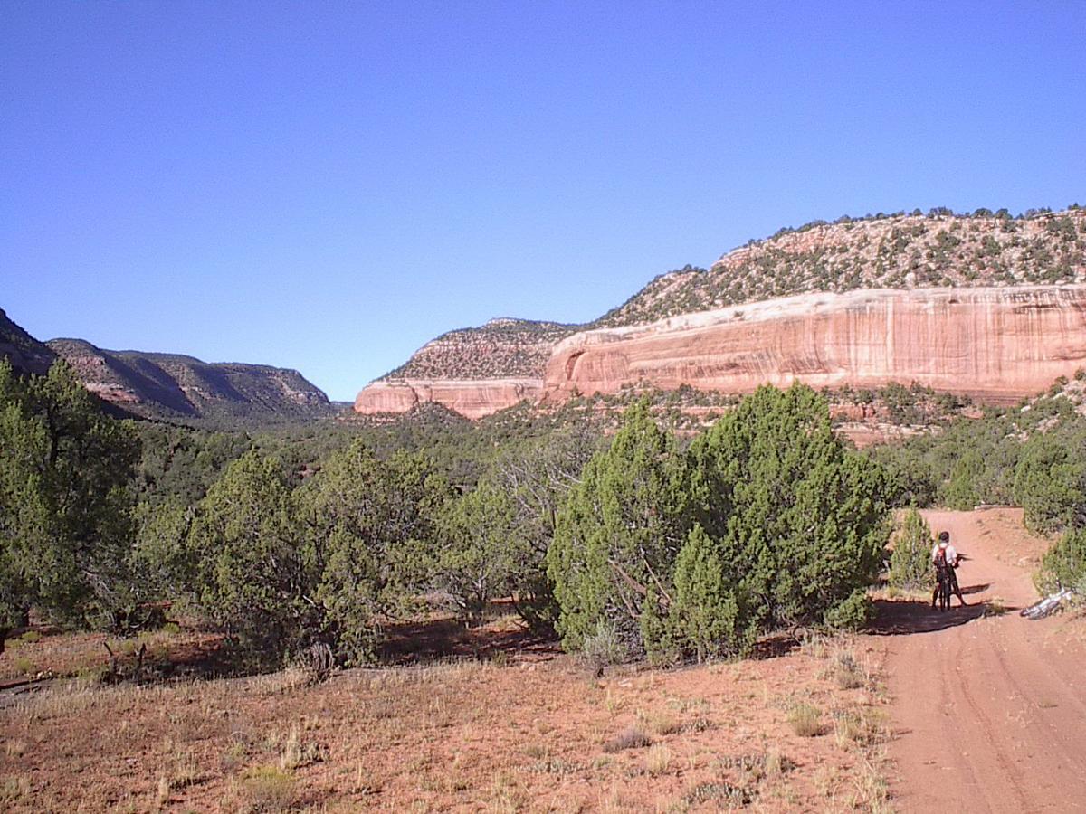
This "trail" connects the Tabeguache and Kokopelli's Trails and mostly follows jeep and forest roads. Trail is well marked with signage in many locations. Long, tough climb out of Paradox Valley but the changes in scenery are well worth it! Paradox Valley B&B is a great place to stay and rest up for the big climb into Utah!


 8
8

The Paradox is so varied in the terrain that it passes through that riders can pick and choose their rides. Coming from Grand Junction via Hwy 141 and Gateway, the Paradox can be accessed in about an hour and a half as it comes down to the Highway at Mesa Creek for one of the few Dolores River crossings. The Red Canyon portion of the trail provides for some nice loop rides plus accesses other great rides around the old mill town site of Uravan. The Y-11 trail can be accessed on the south side of the old iron bridge which still stands just north of Uravan on 141.
| ThankBecause of its length (110 mile) riders will encounter a variety of riding conditions. Most of the tougher sections will be found east of Buckeye Reservoir as the trail heads for the Uncompahgre Plateau. Lots of hike-a-bike sections and fun, technical rocky sections north and east of Nucla. Great views as you climb onto the Plateau.
| ThankBeautiful route across Western Colorado. The portion I rode had zero singletrack but it was still worthwhile, though I wouldn't travel just to ride this section.
| Thank