×

|
Rate it:
Tags:
Level: Intermediate
Length: 30 mi (48.3 km)
Surface: Singletrack
Configuration: Network
Elevation: +1,136/ -944 ft
Total: 60 riders
Mountain Biking Otis
#15 of 223 mountain bike trails in Massachusetts
Singletrack heaven. Good luck not getting lost. Lots of good peeps ride and do trail work here. Pitch in, join NEMBA, Be respectful and ride hard. Many miles to ride.
First added by mountainzen on Mar 22, 2006. Last updated May 11, 2020. → add an update
Before you go
- Drinking water: unknown
- Lift service: unknown
- Night riding: unknown
- Pump track: unknown
- Restrooms: unknown
- Fat bike grooming: unknown
- E-bikes allowed: unknown
- Fee required: unknown
This trail information is user-generated. Help improve this information by suggesting a correction.
Take rte 28 west from Hyannis, veer right onto rte 151 after Rotary. Take 151 almost to the junction with rte 28 and just before the ramp on the right is a pull off parking area with a mound of sand. Park here.


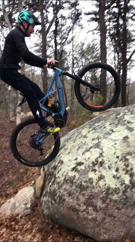

Technically fun with plenty of rocks and features to keep you focused. These Cape trails have lots of punchy climbs. Go, get lost and figure out how to get back. Stop in at Sailworld in Buzzards Bay for updated trail info
| ThankGreat spot. Nice mix of spinning with enough rocks, ups and downs to keep you smiling. Lost? Impossible with MTB Project. Preferred southern portion- rockier.
| ThankGreat Trails! This a link to a short video of what the tails look like. https://www.youtube.com/watch?v=kH7K-cGkRAg
| ThankAwesome place to ride, still finding and exploring new trails every time I ride. Tons of fast flowing single track with some good climbs and drops sprinkled in. Overall an absolute blast.
| ThankGreat place to ride. Mostly hard packed singletrack with endless mileage. There are rollers, drops, man made features, rock gardens and a half pipe. When riding here you have to make sure you don't ride on the air base territory but besides that very easy to navigate. Even if you get lost just go towards the sound of the highway and take the trail running along the highway back to the parking lot.
| ThankThis place is super fun and it drys out really early in the season, so it's a great place to knock off the winter rust. There are a lot of trails and I'm typically lost the entire time I'm there, but it doesn't matter because the trails are very well built and maintained, so you're going to have a good time whether you know where you are or not! Fortunately, you can only get so lost. It sits right next to a main highway, so if you want to get out, just ride back toward that and take the the trail parallel to the highway back to the trailhead. I live about an hour and a half from Otis and it is absolutely worth the drive to get there. Especially when everything else is still covered in snow!
| ThankThis is a great set of twisty interlacing single track that is almost impossible not to get lost at. The riding is very smooth with som quick up and downs. You best bet is to ride the line s that run parallel to route 28. At least till you have had enough ride to get familiar with the area. There are some sandy spots, as with all Cape Cod and Southern Mass riding but the over all trail conditions are good.
| Thank