Olallie Ridge Loop trail photo
See all photos (7)
×
User
Today
 
  |   Rate it:

Tags:
Level: Advanced
Length: 19 mi (30.6 km)
Surface: Singletrack
Configuration: Loop
Elevation: +1,878/ -2,549 ft
Total: 14 riders
 

Mountain Biking Olallie Ridge Loop

****   Add a review
#52 of 306 mountain bike trails in Oregon
#2,660 in the world

The Olallie Ridge Loop is a challenging 19-mile loop outside of sisters that is the less-ridden, more-challenging version of the nearby McKenzie River Trail.
This trail is also known as the Castle Rock / O'Leary Epic.
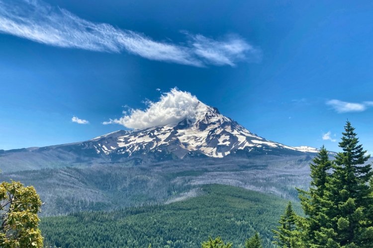
First added by Greg Heil on Oct 25, 2013. Last updated Apr 28, 2020. → add an update
Before you go
  • Drinking water: unknown
  • Lift service: unknown
  • Night riding: unknown
  • Pump track: unknown
  • Restrooms: unknown
  • Fat bike grooming: unknown
  • E-bikes allowed: unknown
  • Fee required: unknown
This trail information is user-generated. Help improve this information by suggesting a correction.
Getting there
See Google Maps
Featured in


Olallie Ridge Loop Trail map

Add to or improve this map // Share this map on your website

Local Info

Club Sponsor

-

Trail checkins

Missy Kearley (on Aug 2, 2019)
What's this?

Upcoming Events

None.
Add one

Trail conditions

Good (on Jun 16, 2018)
login to update

Camping & Lodging

Coming soon!

Olallie Ridge Loop videos

Add a video
We don't have any videos of this trail yet. Add one here.

Mountain Bike Trails Near Sisters, Oregon

| 15 mi
*****
Intermediate | 25 mi
***
Intermediate | 23 mi
***
Beginner | 20 mi

Add a review

Rating
 
Difficulty
 
Review

Reviews

    Loading reviews...

Rider questions